|
|
||||
| Date | Starting Place | Ending Place | Author | Last Update |
|
|
||||
| 04-20-09 |
Lompoc, California, United States |
Santa Barbara, California, United States |
ray | 05-04-09 21:14:19 |
|
|
||||
|
Walt works in Santa Barbara and has to get up early to get to work on time so I didn't see him in the morning. Belinda spends some time working at home and we talked while I had some cereal and toast for breakfast. Since Belinda and Walt were house-sitting the next few days, she suggested that I take the tofu that I had made the night before for lunch so I made some sandwiches with it. I was packed and out about 9:30am. It was already hot and predicted to get more so. I stopped at a store to get some bananas and a cafe to get some bagels. For the most part, Lompoc is an uninspiring collection of older homes and strip malls. One attractive thing is that many buildings in Lompoc have murals on them. 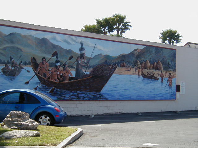 At the end of Lompoc, a bike tourist has to make a decision at the intersection of Highways 1 and 246. Both roads go to Santa Barbara. Turning right follows Highway 1 to 101 along the coast. Going straight takes 246 through Beullton, Solvang, and Santa Ynez, onto San Marcos Pass Road, past Lake Cachuma, and over San Marcos Pass for the high speed run down into the city. I always take Highway 1 because I like the 17 mile, relatively gentle, climb though undeveloped farm land. There is no development along Highway 1 except for a few homes that are well away from the road and corrals to hold cows and horses. Here is a view of the terrain along the highway. 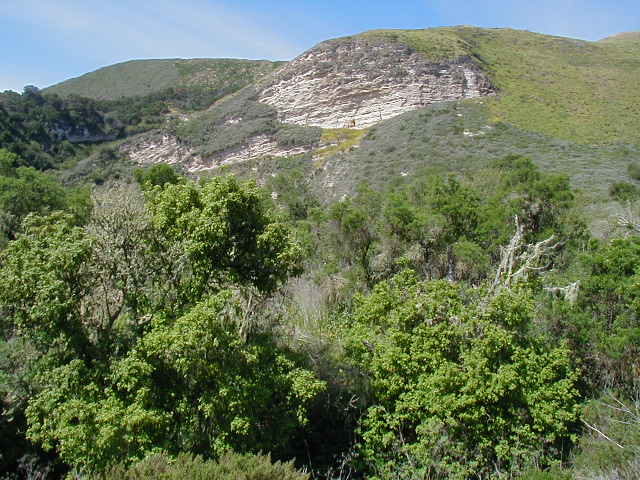 The road crosses several streams with the only name I recall being El Jaro creek. 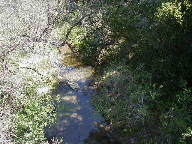 I usually find this stretch of road to be the highlight of the San Luis Obispo - Santa Barbara part of the route. But, this day there seemed to be lots more cars/trucks than usual and it was very hot. I noticed just how little shade there is along the road as I was sweating profusely and stopping frequently to eat, rest, or cool off. At one point, I saw a biker coming up quickly in my mirror. When he got up to me, he said that he was riding from Santa Cruz to LA in 3 days! I checked out his bike and the only thing I saw on it was a small bento box stuffed with bars and gel packs. We chatted for about 2 minutes and then he forged ahead. As he passed me, I noticed that the pockets of his jersey were stuffed with additional clothes. He was out of my line of sight in about 10 minutes. I had to laugh when I passed an altered message on the road. Throughout the entire route down the coast the tag "3 Amigos" and a year are painted on the highway. Apparently, someone got tired of seeing it and added their own comment. 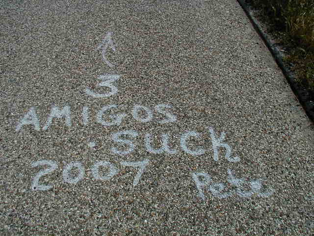 From the top of the climb to Highway 101 is a straight, two-mile downhill where it is hard to keep a loaded touring bike below 35 MPH. I stopped once to let my brakes cool and took this picture of the drying grass and distant hills. 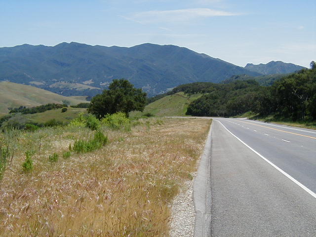 I can usually coast all the way to the rest stop in Gaviota Pass, where I like to stop and eat something. But, the rest stop was closed for construction and I continued on to Gaviota State Park, where I got some water out of a hose. The riding on Highway 101 is on a wide shoulder along a high-speed freeway. While you are separated from the roadway by a rumble strip, it is neither pleasant nor quiet riding. 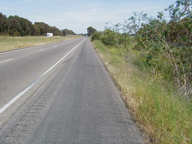 There are three California State Beaches along the coast, all of which allow camping and have hiker/biker sites. The first one, right past the rest stop is Gaviota State Beach Park. About 9 miles later is Refugio State Beach Park which runs into El Capitan State Beach. In the past, I've been able to get off the road and ride along a bike path between Refugio to El Capitan Parks. But, it had caved in and I had to stay on the highway. Railroad tracks sit between the highway and the coast. Much of the time, these tracks are raised and all you can see is dirt and shrubs. Some of the time, you can see the water, which provides ample evidence of what would happen if oil drilling were allowed. One of the Channel Islands is in the far background. 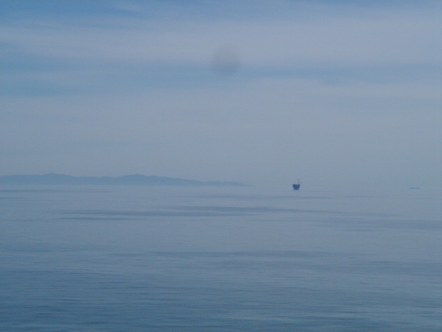 As you ride further along toward Santa Barbara, you begin to see open land that is either orchards 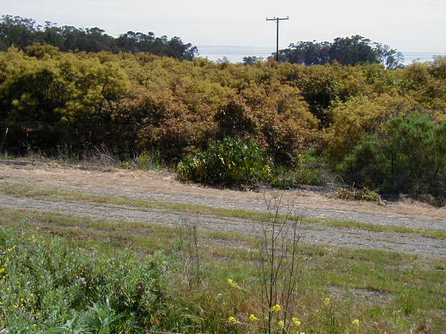 or ranch lands. 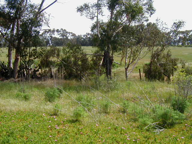 There are several large islands off the coast at Santa Barbara. These are the Channel Islands and they are part of the Channel Islands National Park, which you can take a boat to and hike on but not camp. 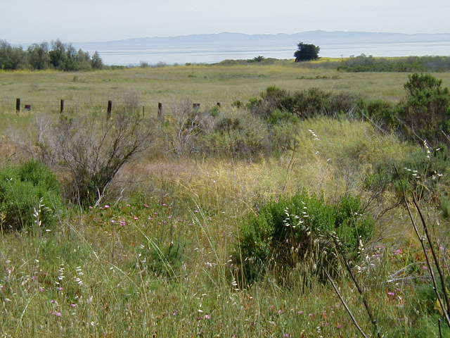 You exit Highway 101 onto Hollister Ave, the location of the uber-fancy Bacara Resort. 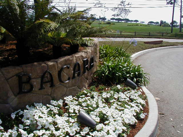 Then, you ride for about 8 miles through suburbia on a bike path until you get to Santa Barbara's main road, State Street. My friends live on the northern part of Santa Barbara and I was soon resting in their air conditioned living room. It was nice to have some coolness and shade as the ride had been hot and the sun unforgiving. After I showered, Mike, my host, and I went to eat at a local Chinese Restaurant that had vegetarian dishes and I had Orange (vegi-)Chicken for the first time. It was very good and I hope to eat there the next time I am in Santa Barbara. Mike and his wife were out for the evening so I hung out, read, watched a bit of TV (The Last Waltz), and then went to bed. |
||||
|
|
||||