|
|
||||
| Date | Starting Place | Ending Place | Author | Last Update |
|
|
||||
| 05-21-10 |
Sealevel, North Carolina, United States |
Buxton, North Carolina, United States |
ray | 07-13-10 21:20:26 |
|
|
||||
|
I was up as soon as the sun illuminated my tent. I wasn't planning on trying to get the 7:30am ferry, so I was in no hurry to leave. The boat I was aiming for left at 10:30. The landing was about 10 miles away and I wanted time to eat breakfast. I planned on leaving about 8am. The golden light of dawn was all around and the first thing I did was to take some photos. This was the view along the bay at the edge of the spit of land I was camping on. 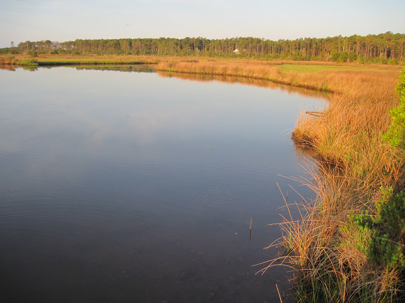 This is a well-angled view back toward the camp entrance. No one was using this cabin when I was there. Just to the left is RV-city. 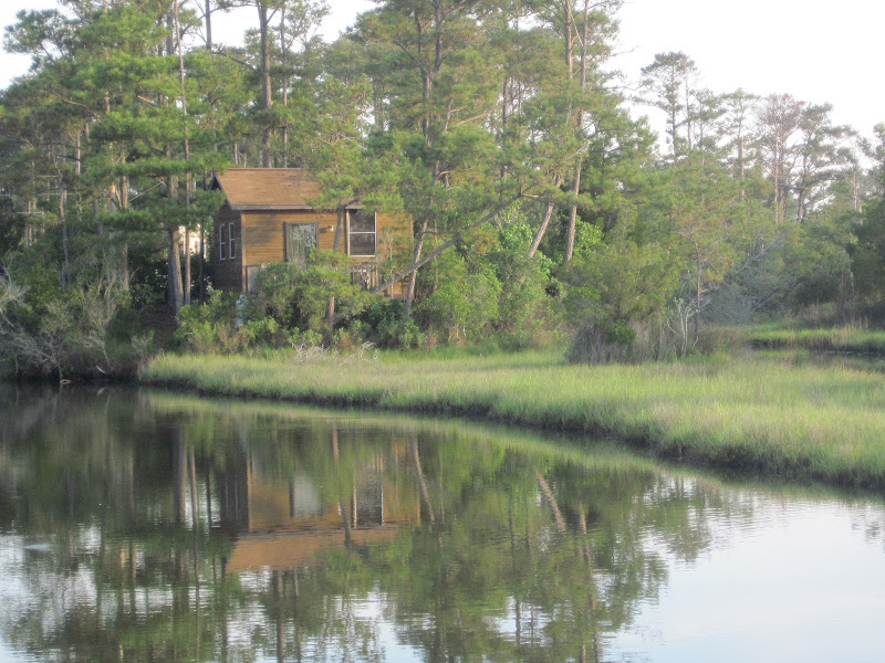 I was the only one camping 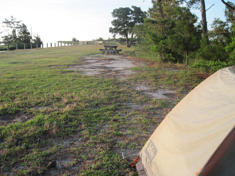 and my spot was picturesque. 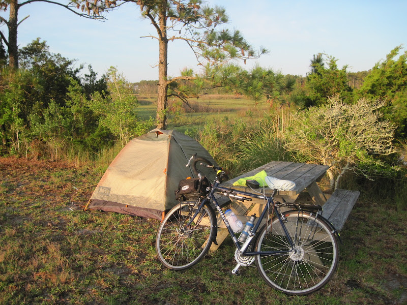 I ate an apple and banana, packed up, and took a shower while I waited for my rain fly to dry in the sun. I left just before 8am, planning on stopping somewhere for a full breakfast. I rode through the tiny hamlet of Sealevel, where nothing was open and the main structure is a nursing home. Once back on Highway 70, it was a straight, shoulderless road through trees on a sunny day.  The route remained in the trees for a few miles and then opened out onto flat wetlands.  The views would continue to alternate from long stretches of flat wetlands 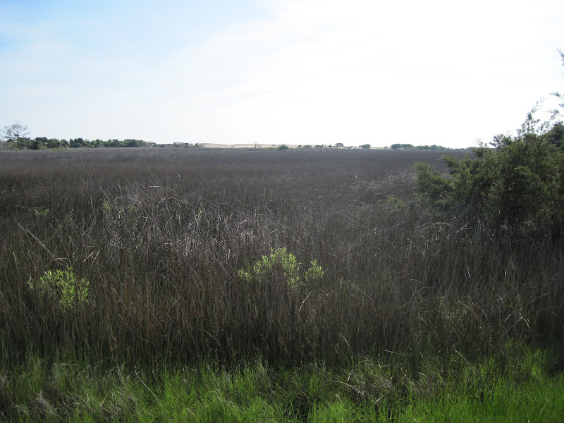 to trees until I got to the ferry landing. I rode through a fishing village of homes, docks, crabbing pots, and a store or two.  I didn't see any place to eat breakfast, so I kept riding to the ferry, arriving an hour early. Once at the ferry, I was told that the ferry building was closed for remodeling and that no food was available, except for vending machines. I guess it just wasn't my day for breakfast. Instead, I searched through my panniers for some peanuts to tide me over. My iPhone battery was nearly dead, so I found a rocking chair on the ferry building's veranda near an outlet and plugged in, while the person in the chair next to mine smoked a cigarette! The line of cars steadily grew as I waited.  I was told to wait until all the cars (and motorcycles) had been loaded on the ferry. Given all the cars, it didn't take very long before we were all aboard and off. 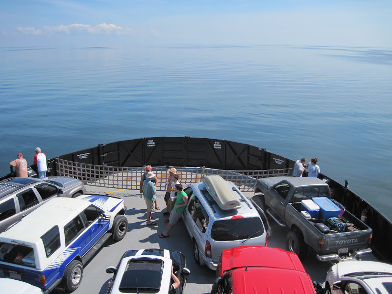 I was told to lean my bike wherever I wanted to. 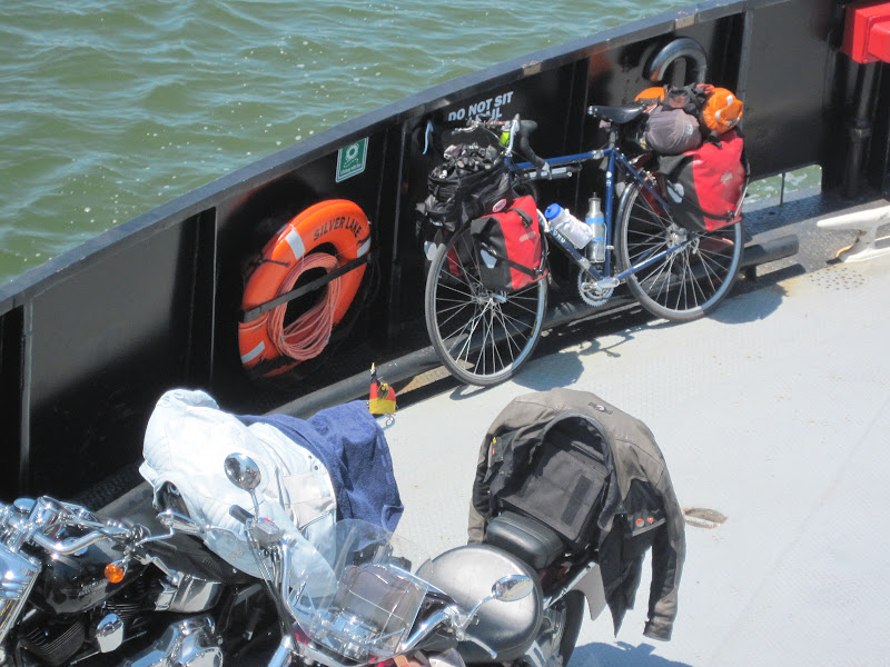 The crossing of Pamlico Sound takes over 2 hours with nothing but water for views. There is a lounge above the car deck that is air-conditioned, has tables and benches, and provides vending machine drinks and snacks. I found a place to plug my iPhone in, which required me to sit nearby and watch it. I got some chips out of the machines, talked briefly to some German motorcycle riders, read a book, and otherwise tried to pass the time. Eventually, around 1pm, land came into sight. It was the tourist town of Ocracoke, on the southern tip of Ocracoke Island.  I'd been told that Ocracoke was a quaint town in the Outer Banks. It is a small town but, frankly, my take is that it is like any other tourist beach town where the main businesses are t-shirt shops, restaurants, real estate brokers, and various places to rent things. It wasn't a somewhere I wanted to spend any time exploring. But, I was now very hungry and stopped at the Flying Melon cafe, one of the restaurants away from the harbor. Not surprisingly, most of the entrees contained seafood and I opted for the Veggie Omelet. The food was OK but the portions seemed a bit small given how hungry I was. After eating, I was directed to a grocery store and then to sandwich shop where I gathered provisions for the rest of the day's ride. There always seems to be wind in the Outer Banks. I was hoping that the usual south wind would prevail but no such luck. As I headed out of town, I realized I'd be riding into a headwind. While it wasn't strong enough to force me to downshift, it definitely slowed me down a bit. I was quickly out of town and into the Cape Hatteras National Seashore. The road had a good shoulder and then a separate bike path, with small trees lining the highway.  I went over a small bump and for a brief while was in a pretty pine forest. 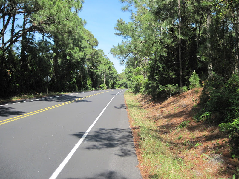 Then, I rode past a pretty lagoon 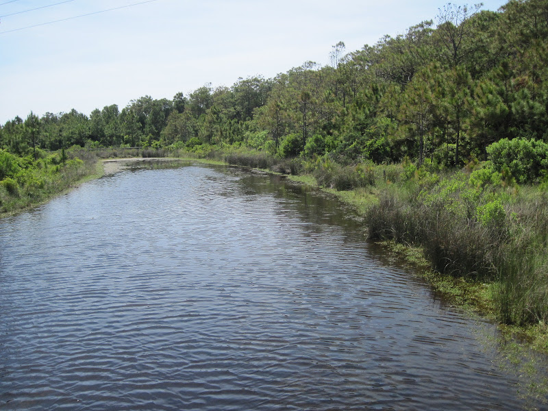 with a meandering outlet to the bay.  But, this scenery soon faded and the real Outer Banks appeared: sand dunes on the ocean side of the highway (obscuring the ocean) 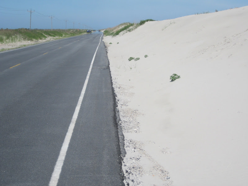 and flat scrub leading to the bay side. 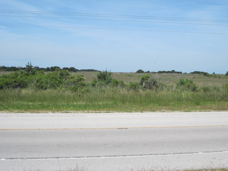 Here is a view of the other side of the dunes (the beach). 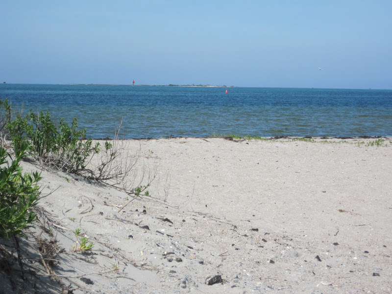 There were a few cars, trucks and RVs, but for most of my ride, it was me, the wind, and the sea gulls.  Ocracoke Island is 14 miles long and by 4:15 I was on the ferry to Hatteras on Pea Island. Forty minutes later, I was on land, again. 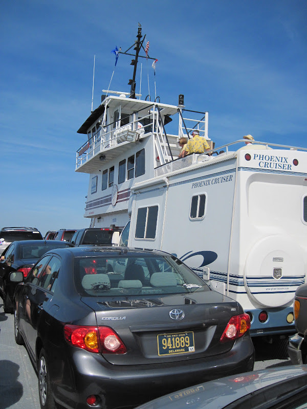 Hatteras is little more than boat docks and huge rental homes surrounded by sand.  As I turned a corner near the port, I saw this historic marker about a little known civil war fact.  Ten minutes after getting off the boat, I was back to sand dunes and a flat road, 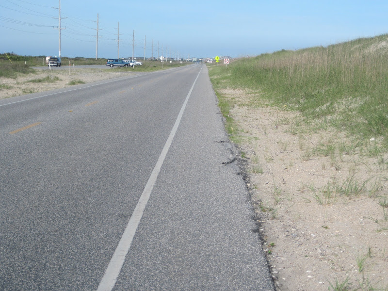 though, there was the occasional wetland.  There are several camping spots on the south end of Pea Island. But, given the uninteresting views and the wind, I wanted to get as far as I could before getting a spot. I made it all the way to Buxton, 11 1/2 miles north of Hatteras, very close to the Cape Hatteras Lighthouse. I followed a sign to a large campground and was charged $30 for a basic campsite. I set up camp, took a shower, and rested. Eventually, a couple of young bike tourists pulled into the campsite behind mine and I met Andrea and David, who were riding down the Outer Banks. Andrea had done some bike touring before and David looked like someone at least as interested in Andrea as bike touring. We talked for about 10 minutes. I made an always filling and tasty Red Beans and Rice dinner and headed into the tent to read a bit and then went to sleep listening to the croaking drone of all sorts of creatures filling the night. |
||||
|
|
||||