|
|
||||
| Date | Starting Place | Ending Place | Author | Last Update |
|
|
||||
| 09-11-06 |
San Francisco, California, United States |
Davis, California, United States |
ray | 03-15-09 00:21:39 |
|
|
||||
|
I got up early and my wife drove me down to the San Francisco Ferry Building to catch the 8:10 am ferry to Vallejo. While buying my ticket, the vendor told me he had recently done the Western Express - Transamerica route. I asked him about the uphill and was told that it wasn't all that bad. It wasn't accurate in my experience, but it made me feel better nonetheless. When I left San Francisco, it was cold and foggy and I was wearing both my arm and leg warmers. The ferry was deserted, maybe 5 people in total. By the time we got to Vallejo, the sun was out and it was quite warm. I took off my warmers. I had already changed clothes and I hadn't even peddled the bike yet! Here is a (the same) picture of my loaded bike just off the ferry. 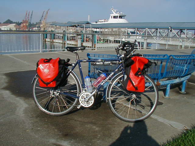 The route starts by going through downtown Vallejo and then through a section of old homes called The Vintage District. I went over a few short city hills, over highway 80, and in 2 miles was in the outskirts. For the moment, the land outside Vallejo is empty but it will quickly be full of new homes, as I saw several construction sites. Once past those, the road climbs over the short hills that surround the bay at Vallejo. This view is from the top of one such hill. This is looking east, toward Benecia. 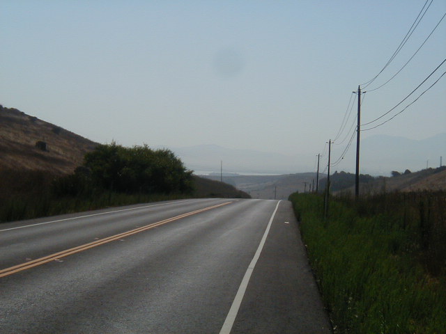 Once over the hills, the road meanders through hills and valley covered with sun-dried weeds that make the hillsides look golden. There are also are scattered oak trees.  There wasn't much road shoulder on this stretch but there were very few cars to worry about. 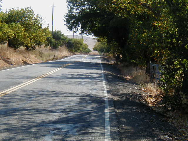 Benicia, about 10 miles east of Vallejo, is an industrial city that has lots of oil refineries. 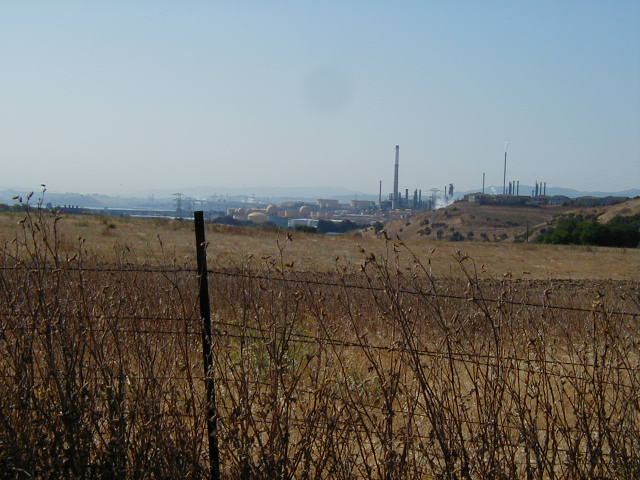 Benecia is also right on the bay. This particular part of the San Francisco Bay is called Suisan Bay and it is one place where the US Navy "mothballs" surplus ships. 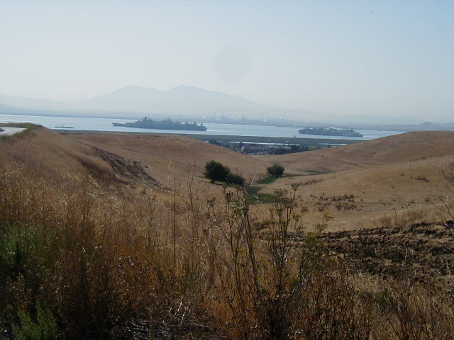 The route turned north and followed highway 80 for 10 miles. The road I was on is a frontage road that is right next to the freeway and somewhat noisy. The scenery stayed the same: oak and dried weed covered hills. 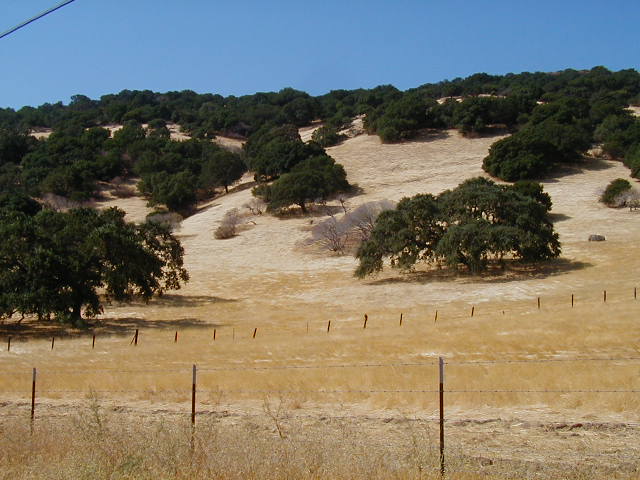 Here is the view looking the other direction, toward the road and the mudflats. 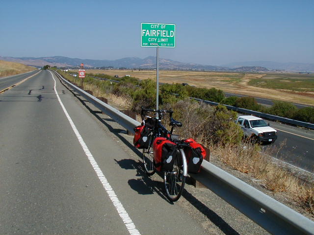 At Cordelia, the route heads away from Highway 80 and it becomes farms and vineyards. There are lots of fast food places at Cordelia and I ate a bad Chinese meal there. Here is the view along Suisan Valley Road. 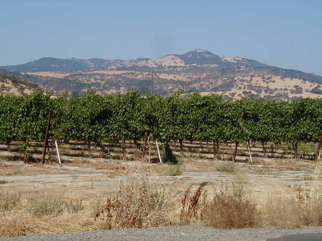 There were a fair number of streams in this valley. You could tell you were in "the country" because the stream beds weren't concrete. 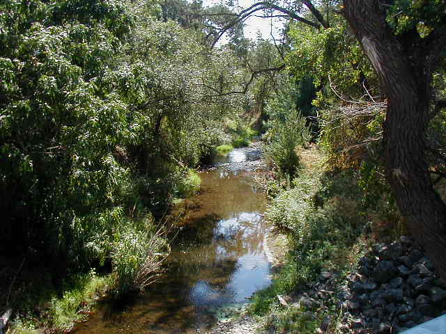 Here's another valley view. 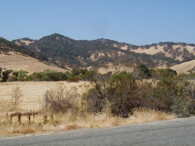 If this looks hot, it is! It was over 90 degrees when I stopped to eat a sandwich (and forget about the Chinese meal). 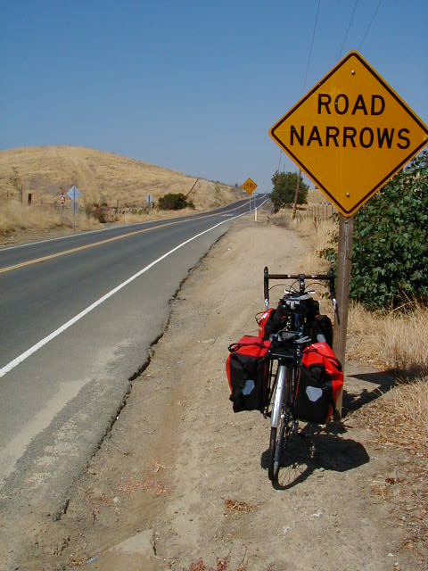 After I passed Vacaville, without actually going into it, I ended up on Pleasant Valley road for 10 miles. It was the first of two Pleasant Valley roads that I would ride on. The road has no shoulder but also has virtually no traffic on a Monday afternoon. 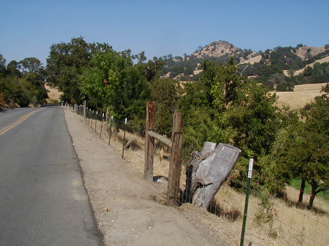 If you miss the turn onto Putah Creek road, you go by this lake, which had a campground. I took several pictures of this lake as I rode along it. This was the one I liked the best. 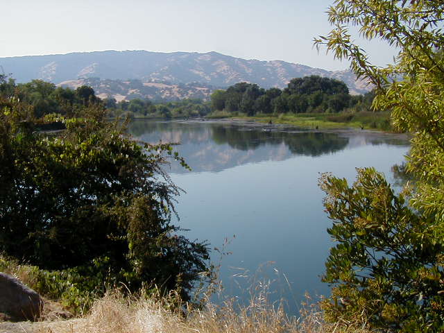 A few miles after the lake, the scenery turns to orchards, where I saw prune (small plums), pear, and walnut trees. I was past hungry and stopped in Winters for a tasty, spot-hitting mexican meal. Ten miles later, I was on the bike path that lead into Davis. I arrived at my friend Ray's place about 5pm. |
||||
|
|
||||