In May and June, 2017, I rode from Amsterdam to Passau, Germany. I took over 2000 photos. I've chosen 88 of the best ones to provide some idea of the things I saw and the vistas I had. If you'd like to know the route I rode, I tracked it using the trackmytour app. I also put all my tour planning on-line, as well. Just after arriving in Amsterdam in the early evening, I saw this iconic canal view. 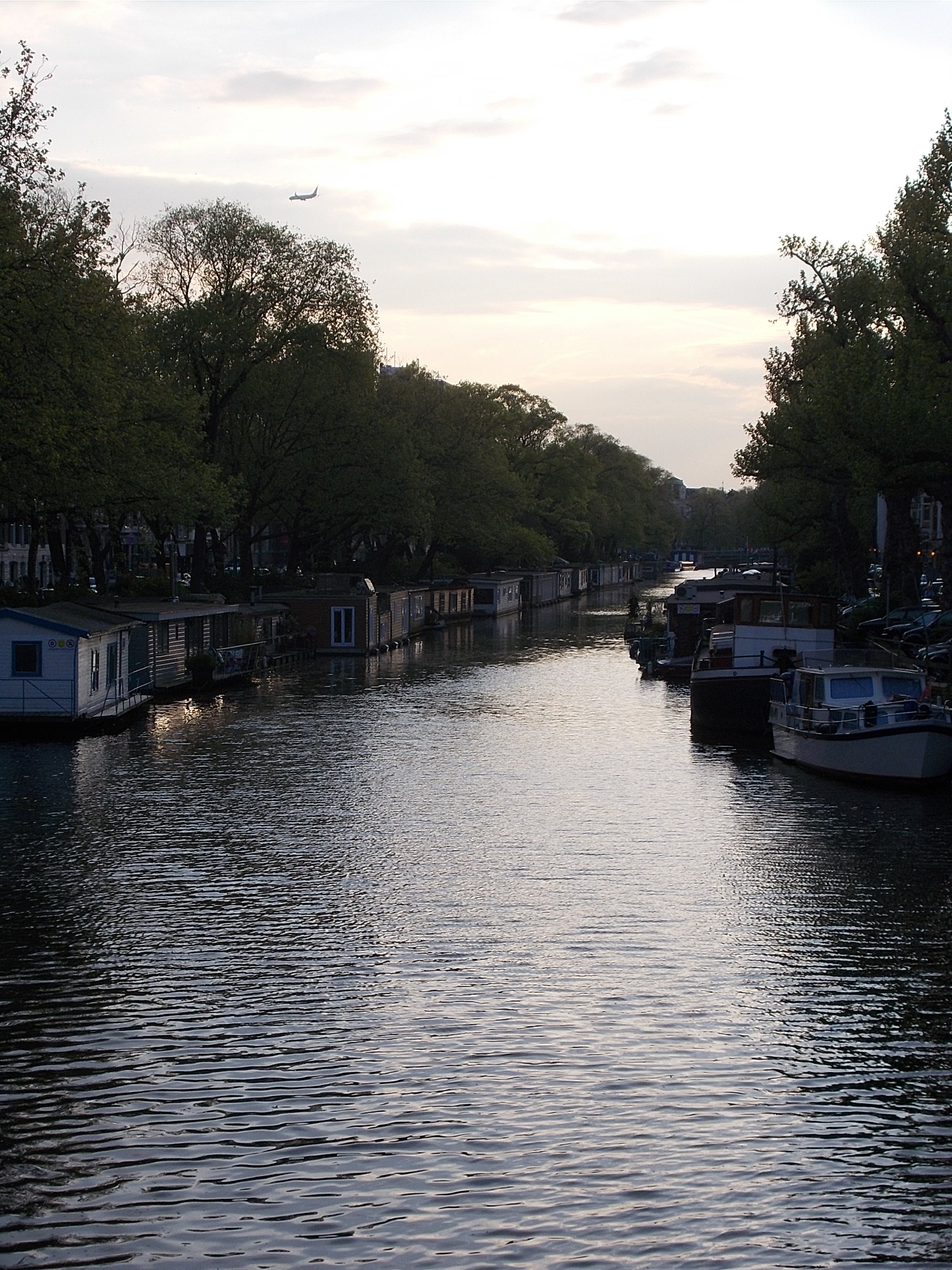 One my first biking day, I rode west from Amsterdam to the sea, where there are extensive sand dunes. I couldn't help but see them as a huge abandoned golf course with too many sand traps! 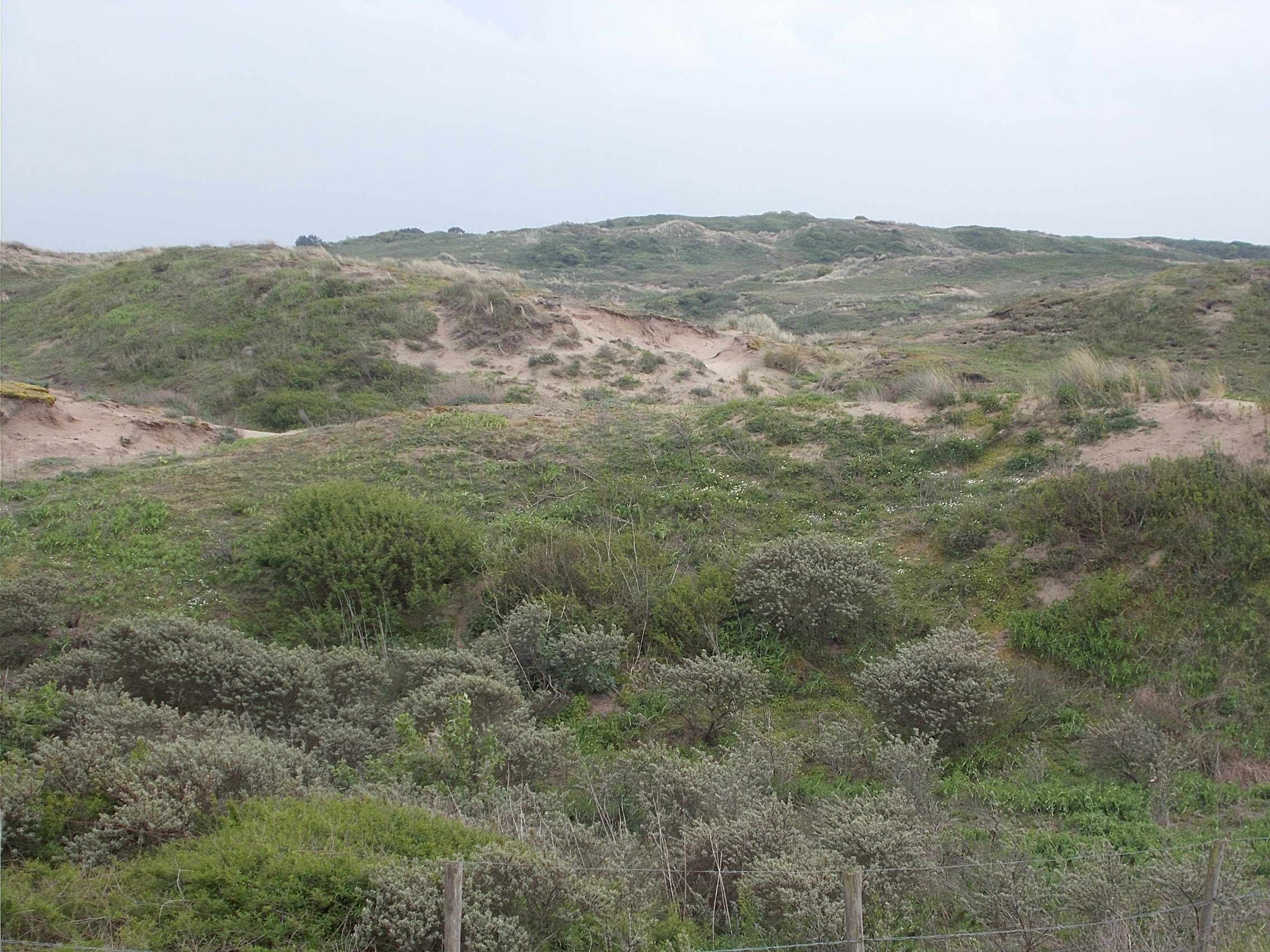 There is a great deal of public art all over The Netherlands. This one was my favorite. 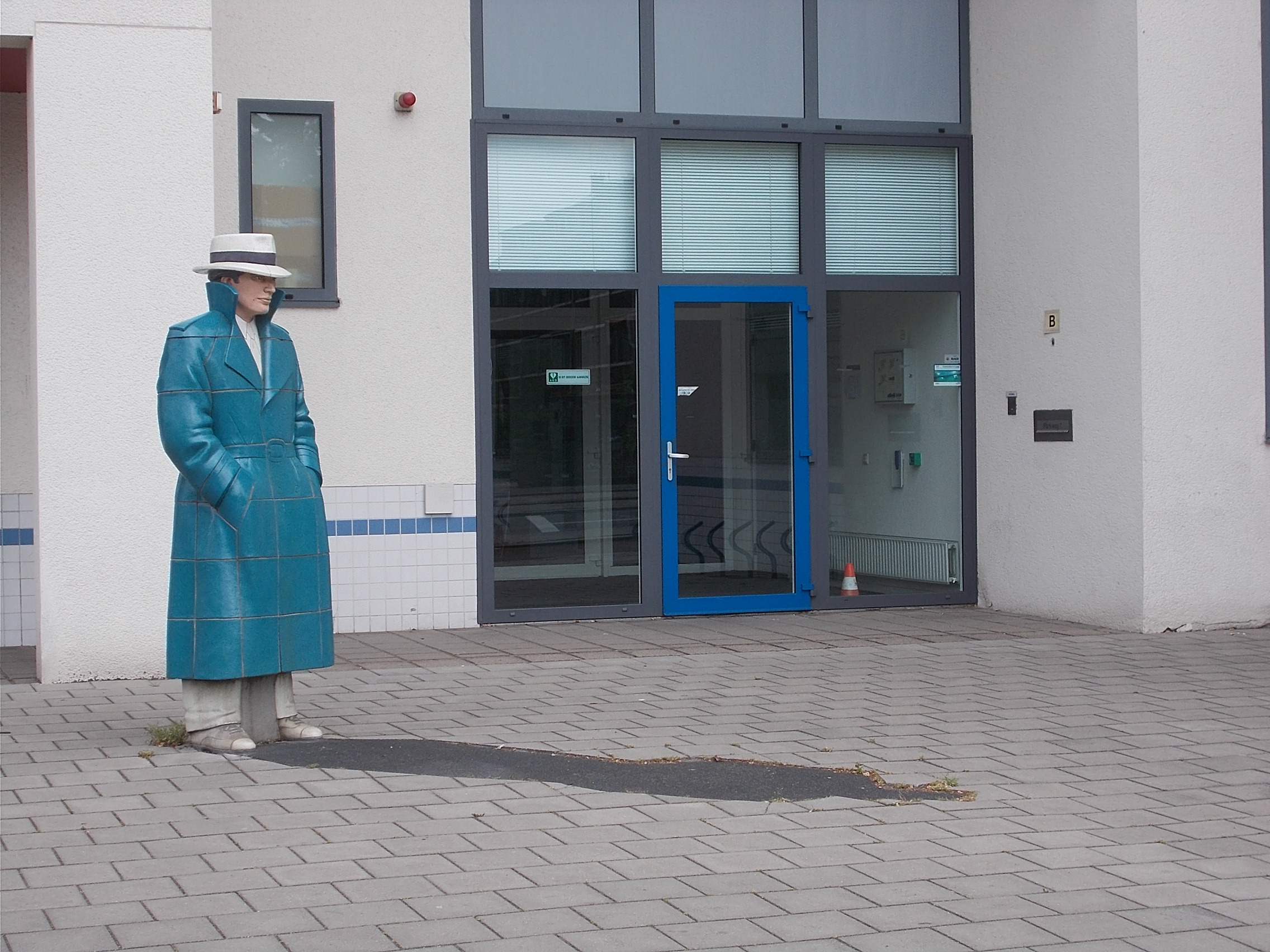 Riding through The Netherlands means spending a good deal of time near water. Just east of Gouda, I rode by houses separated from the road by this bit of water. 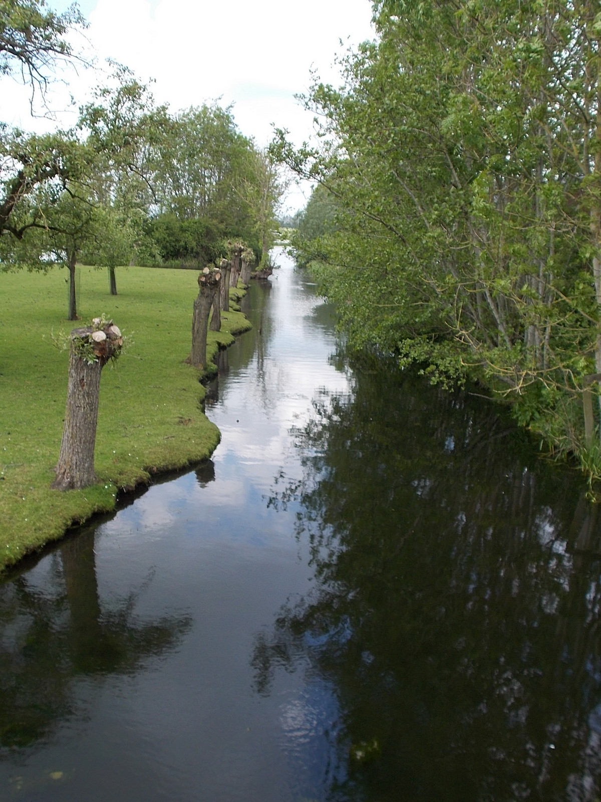 East of Zeist, I passed this historic structure. It is the (rebuilt) pyramid that Napoleon used to watch and guide the Battle of Austerlitz. 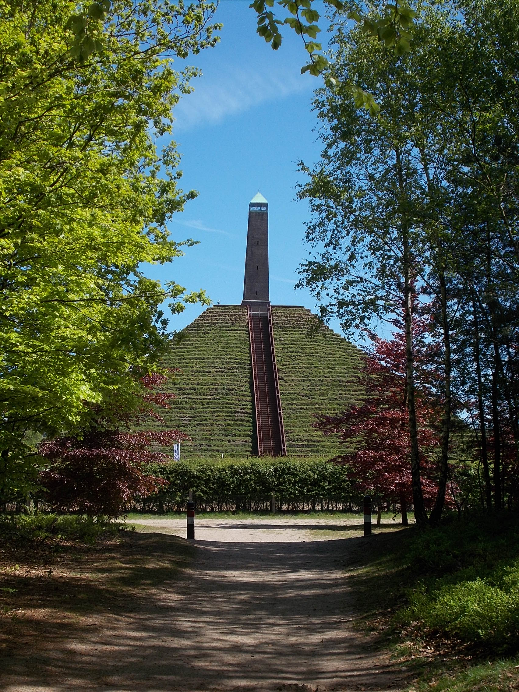 This park bench in Nijmegen was too pretty not to photograph. 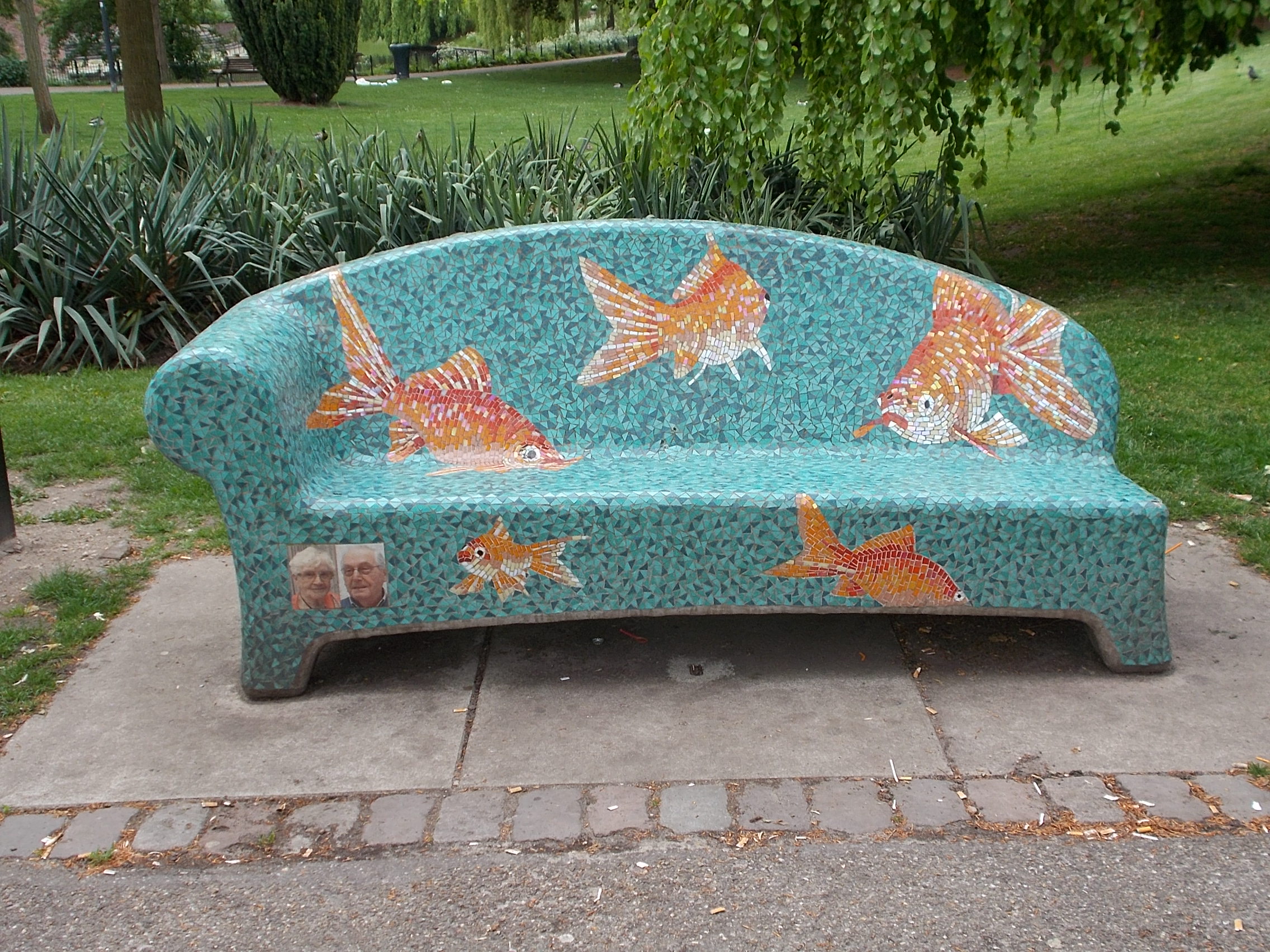 The bridges over the Rhine were the target of Operation Marketgarden, a failed commando raid during World War II. The allied paratroopers who landed in and around Groesbeek were memorialized in historic panels all over the village. 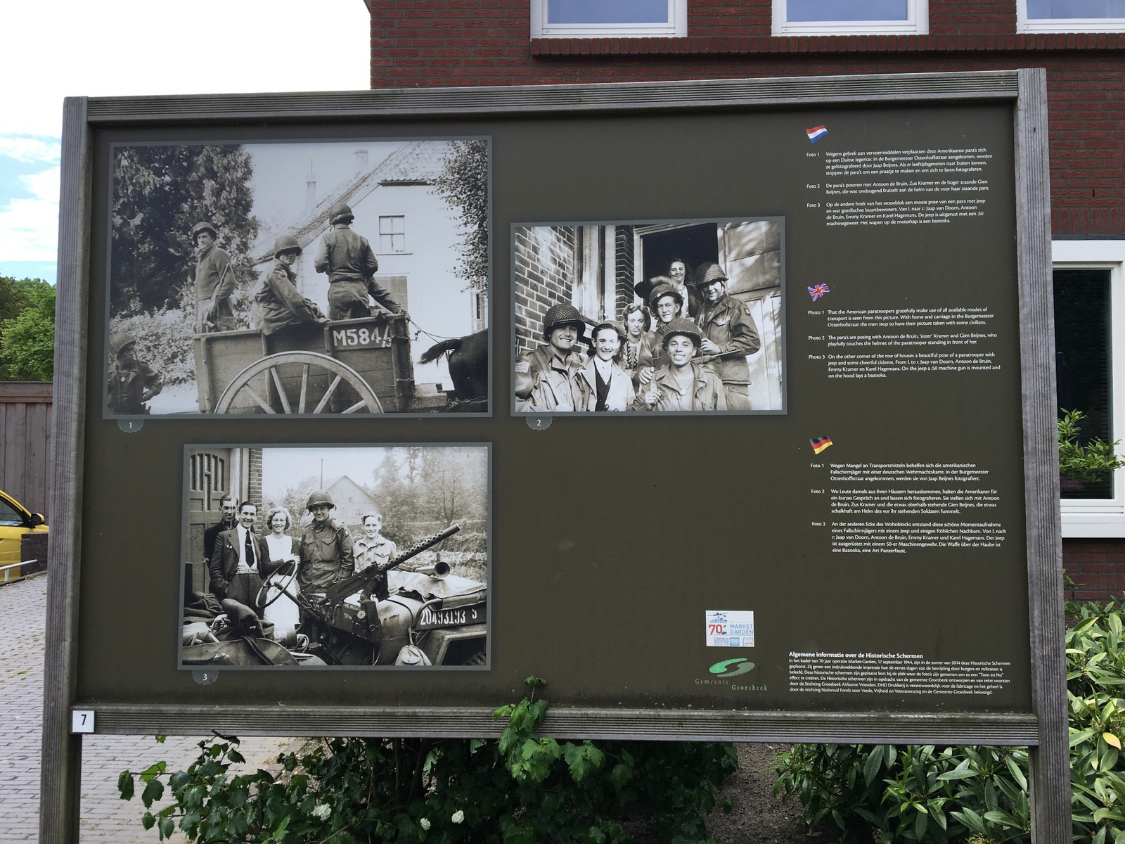 This carefree sculpture (in front a far more serious one) in Aachen brought a smile to my face every time I walked past it. 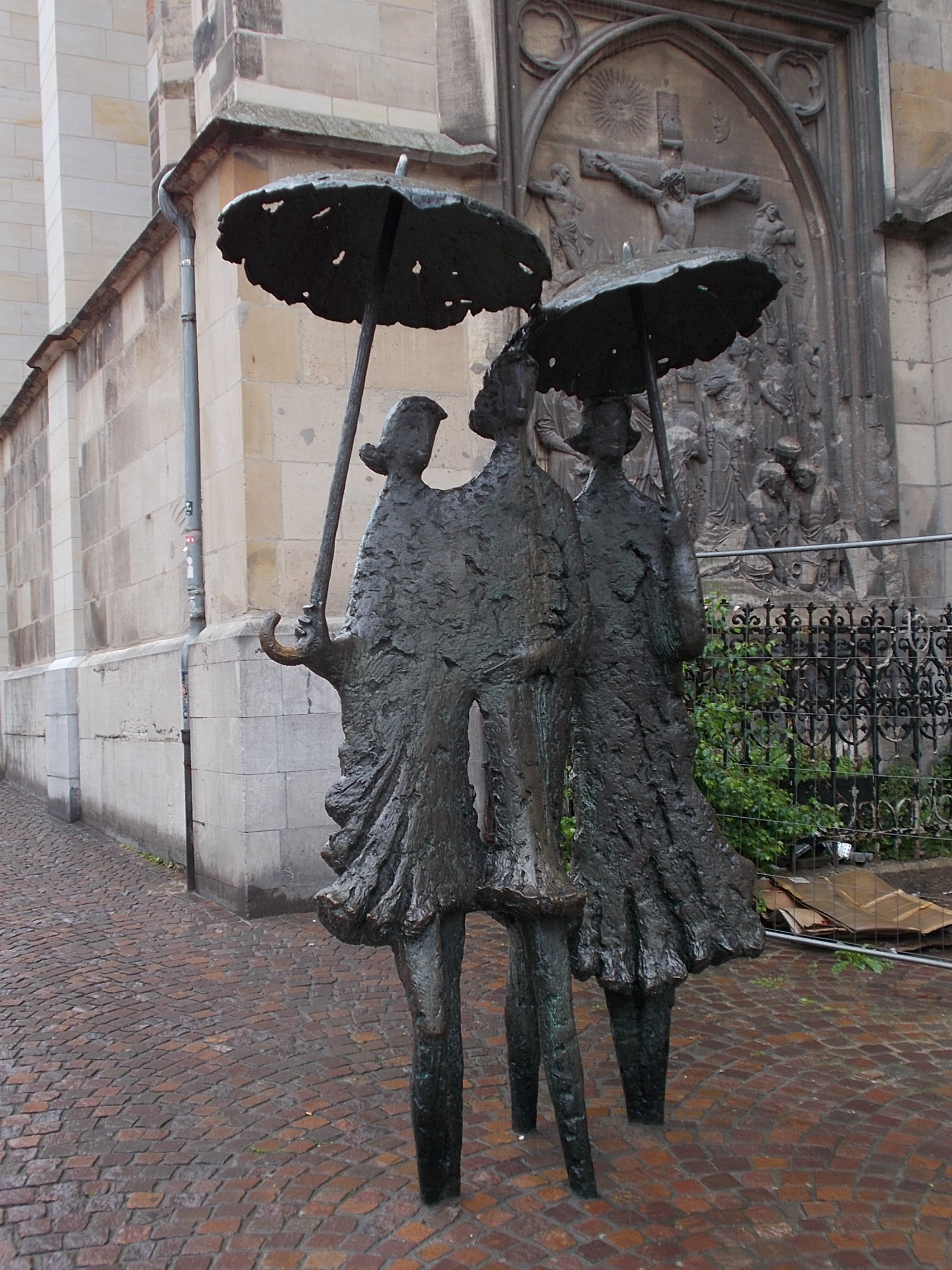 The Aachen cathedral is covered in fabulous mosaics and has these stunning windows. 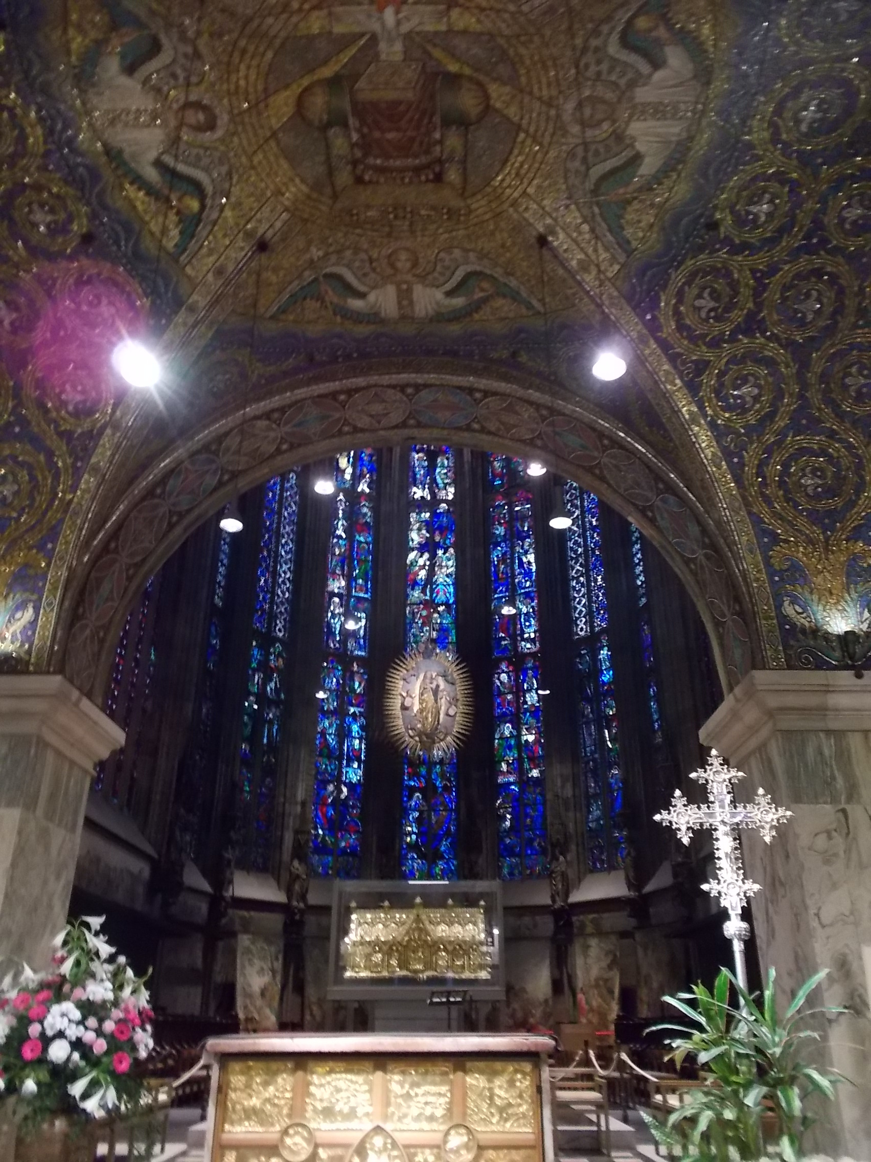 For this first time in all my bike tours, the day I rode out of Aachen and into the Huertgen Forest it rained non-stop. Still, the views were memorible. 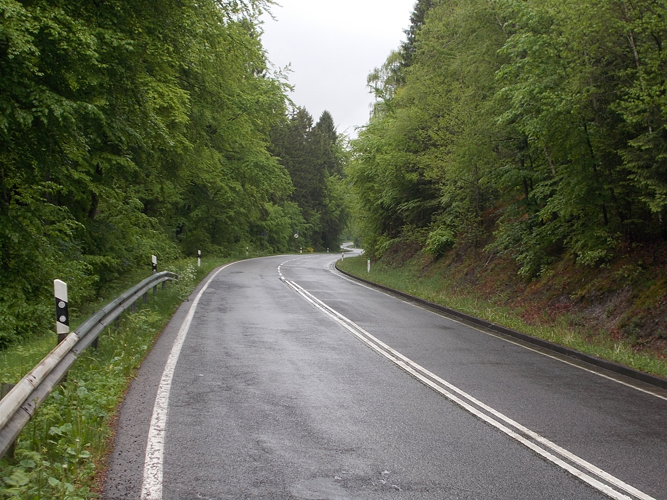 After Monschau, I spent the day riding the lower half of the Vennbahn, one of Europe's longest rail to trail conversions. The river and forest views were inspiring. 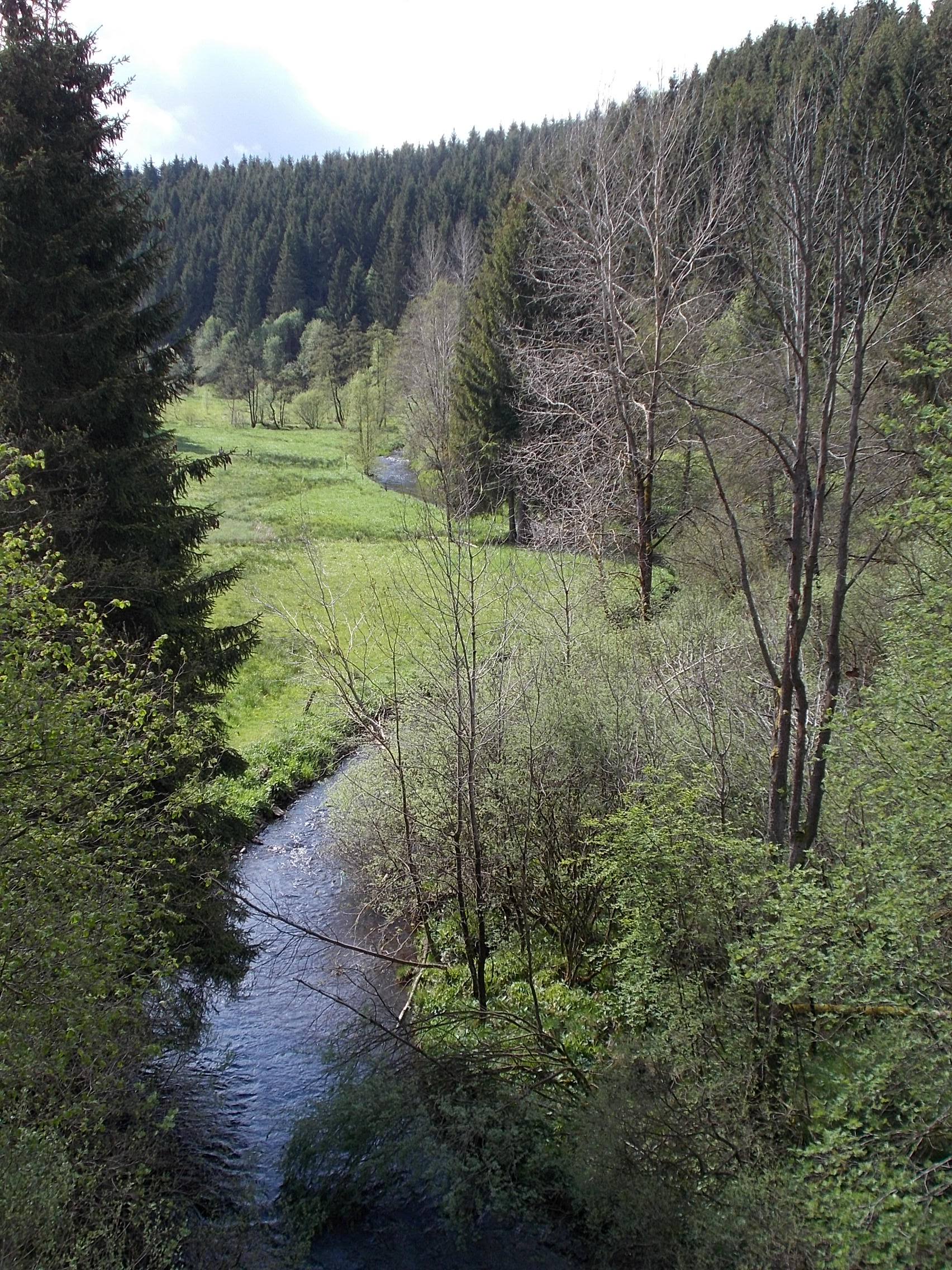 While on the Vennbahn, I passed this bit of textile art which brought a smile to my face. 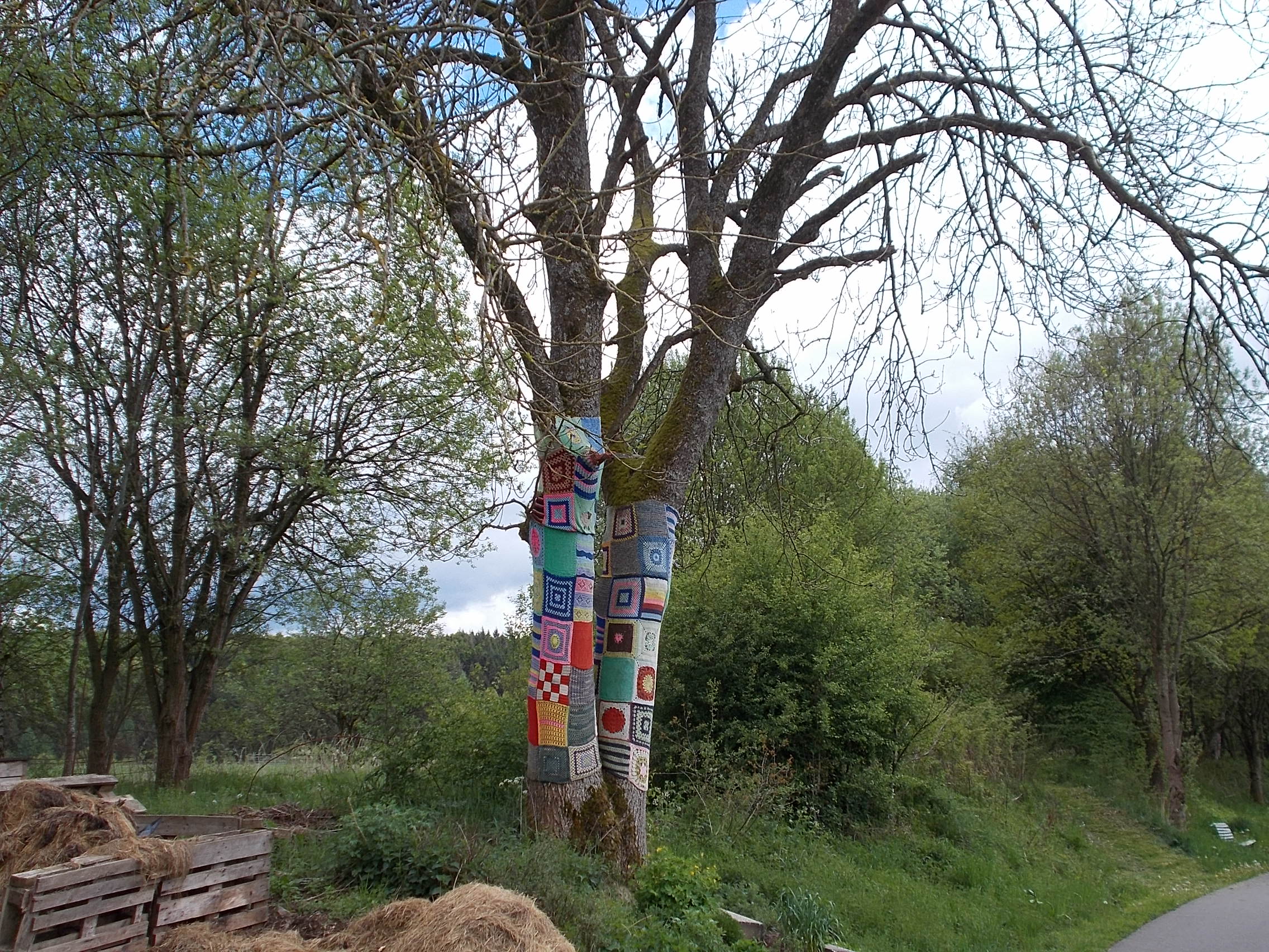 This Vennbahn river view took my breath away when I turned a corner and saw it. Note the Vennbahn path is on the left. 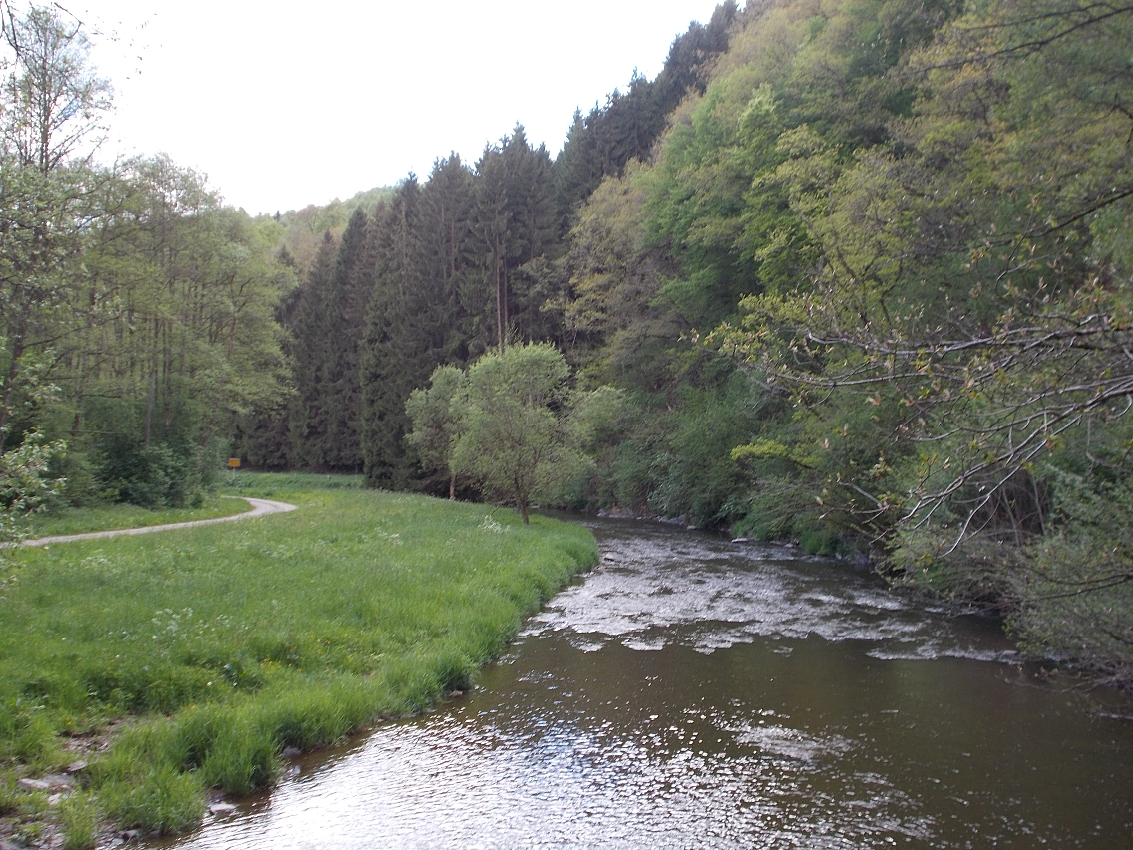 I spent the night in Clervaux, one of the first towns overrun during the Battle of the Bulge. These military pieces were on display on the grounds of the town's castle. The plaque to the left of the tank identifies it as the only one that survived from the 9th Armored Division that was defending the town the day the battle commenced. 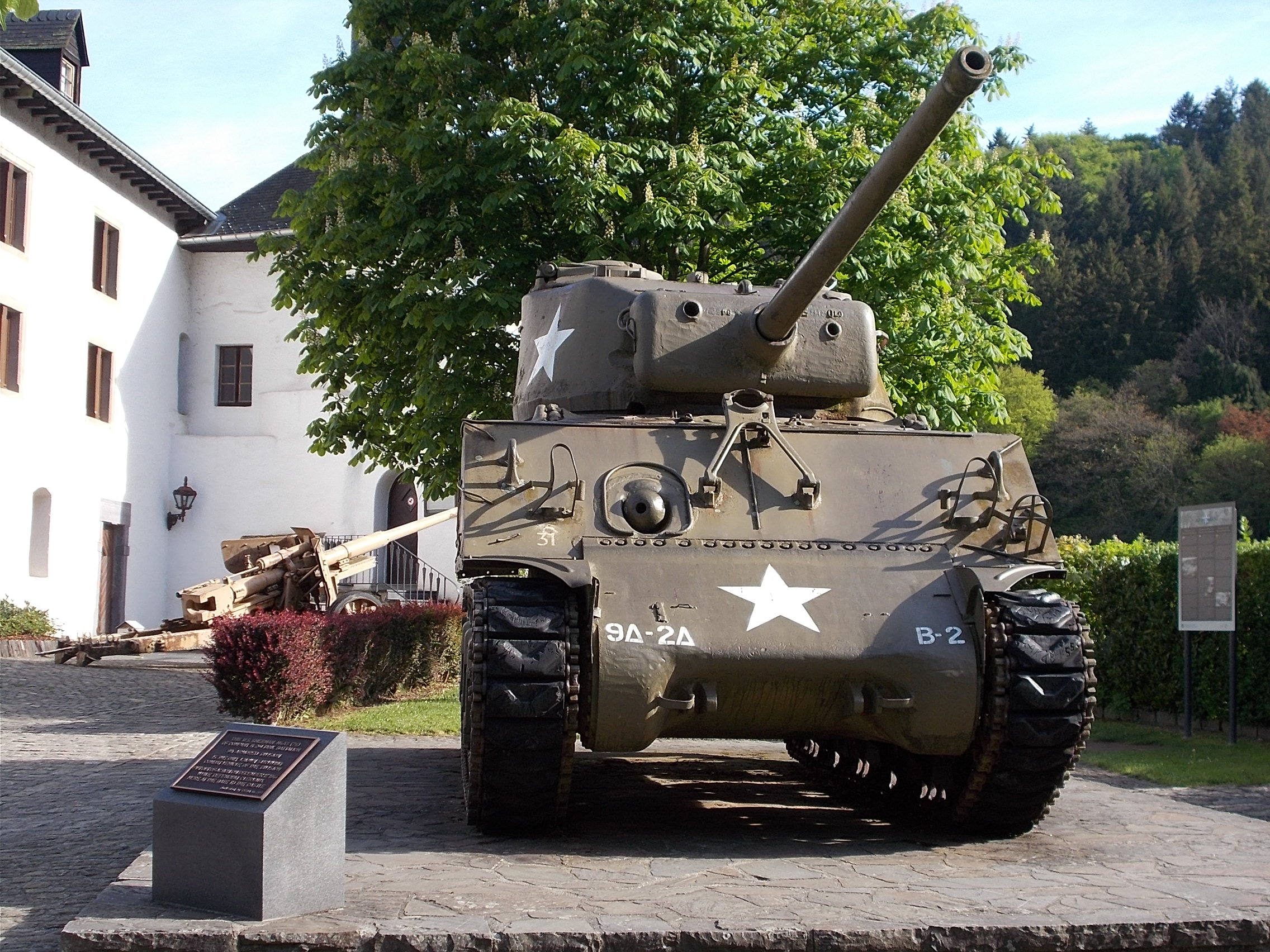 Much of the time, I was riding through rolling farmland. This view is a few miles east of Clervaux. 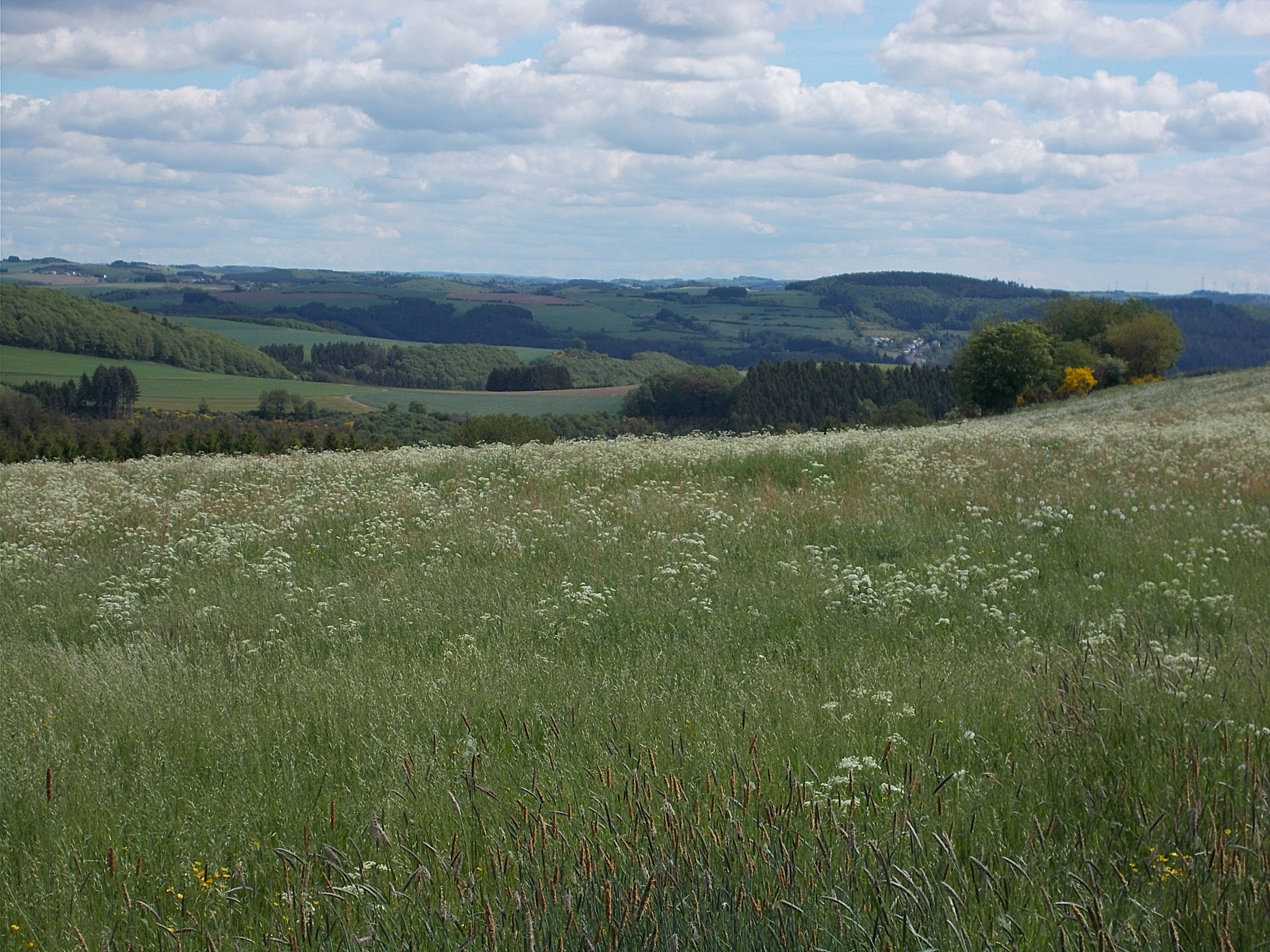 The Our River is dammed just above the town of Vianden. The photo doesn't come close to capturing just how stunning this vista was. 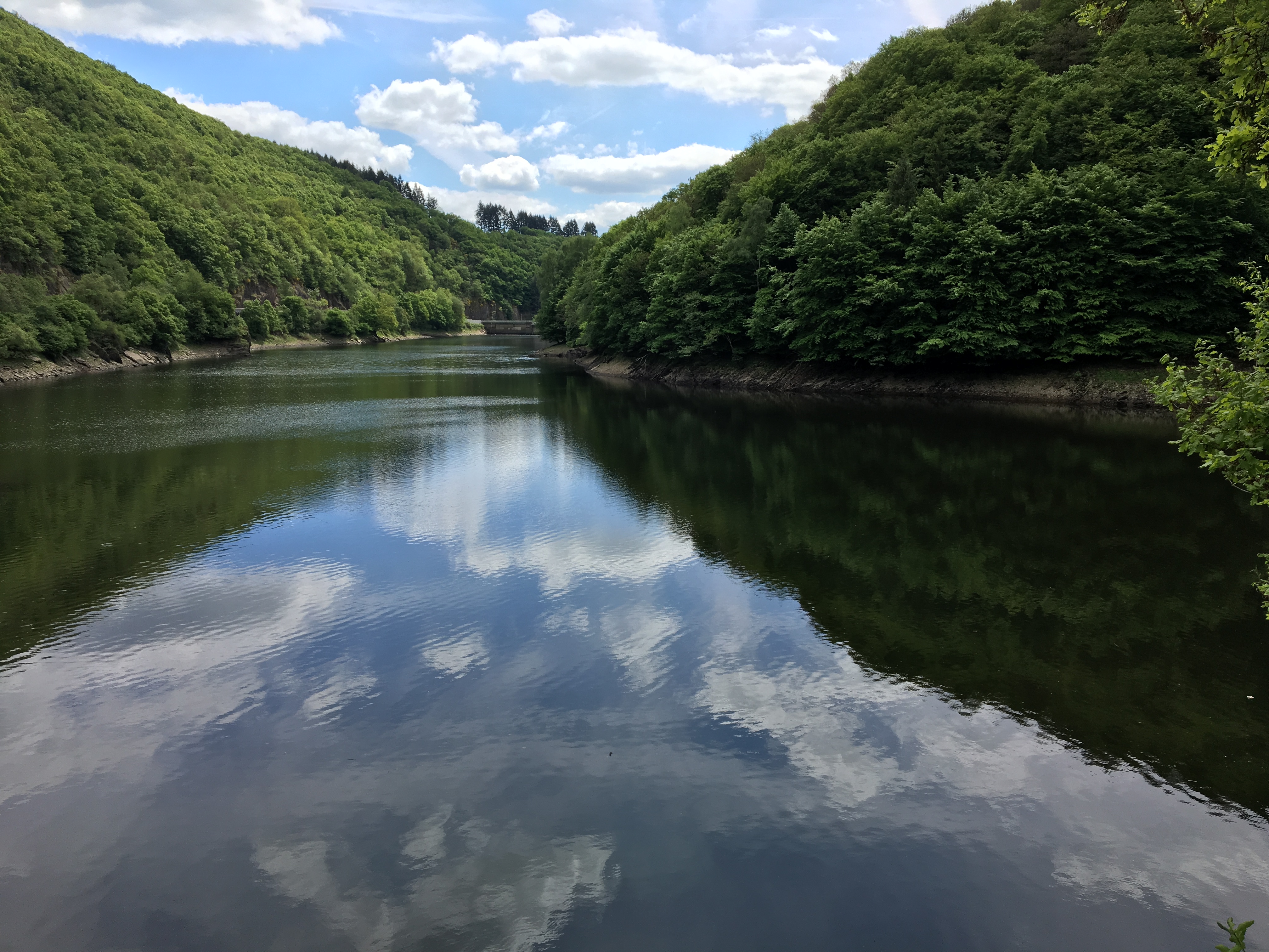 Just past the dam, less than a mile from the above photo, I got this view of the Chateau of Vianden. 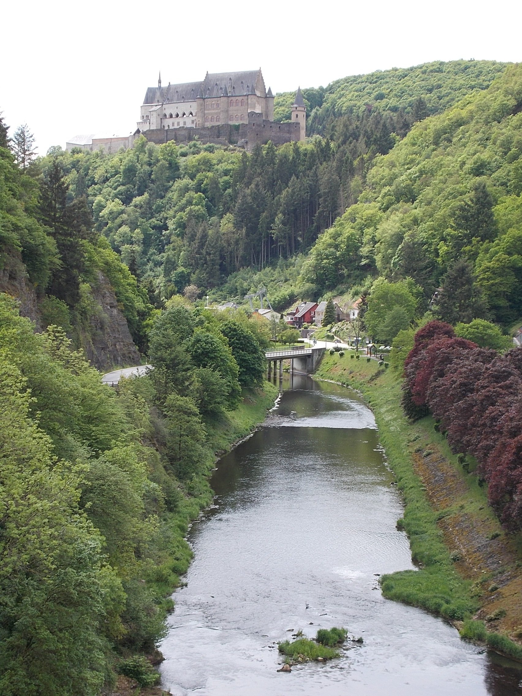 Near the village of Mullerthal is the Schiessentempel waterfall. 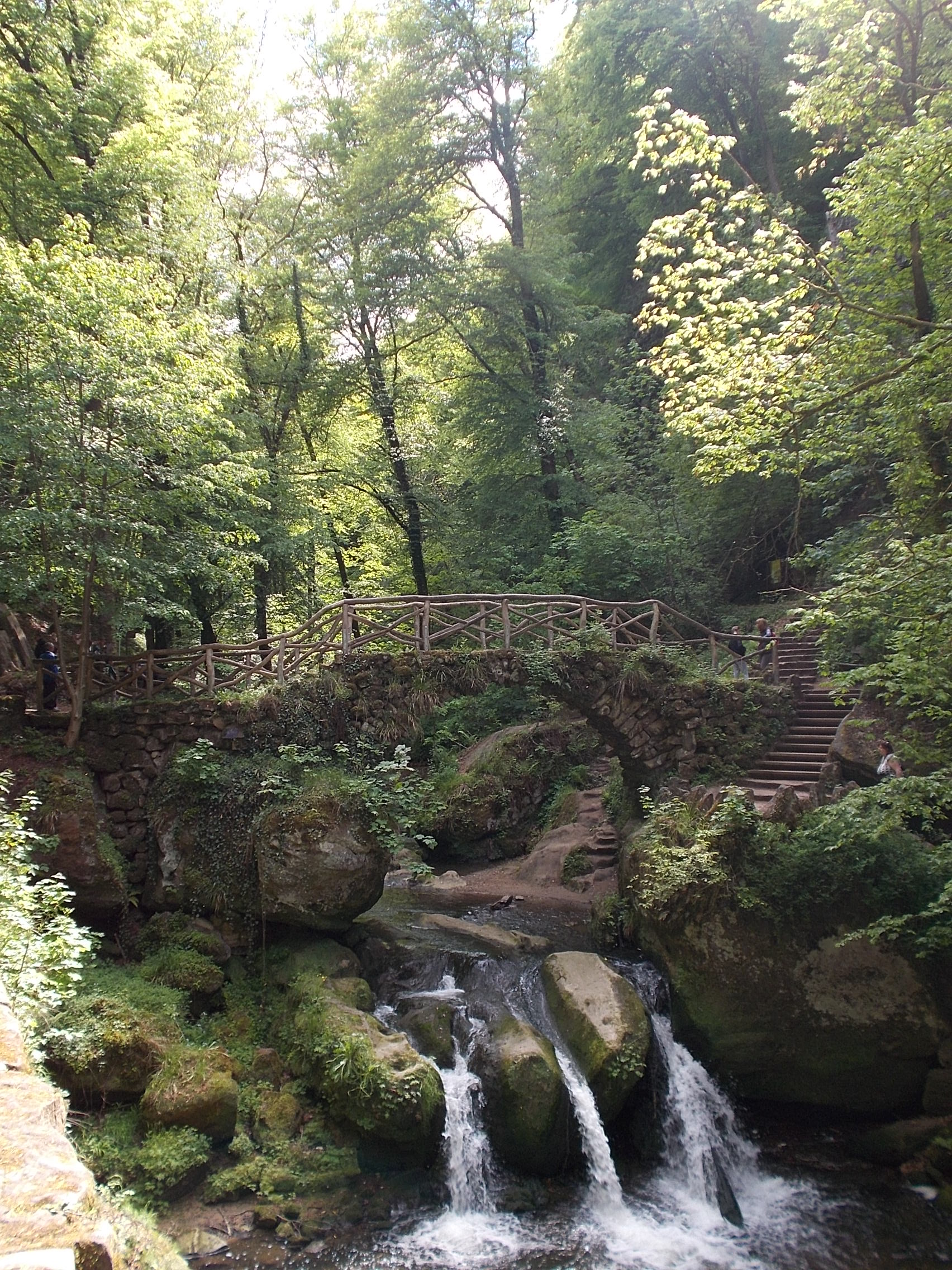 This view of sheer cliffs surrounded by forest is not far from the Schiessentempel waterfall. 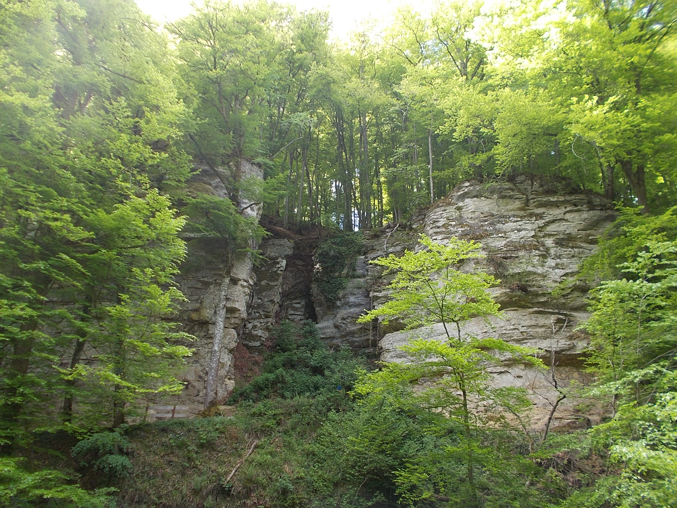 Before it's shores turn industrial, the Saar is quite bucolic. 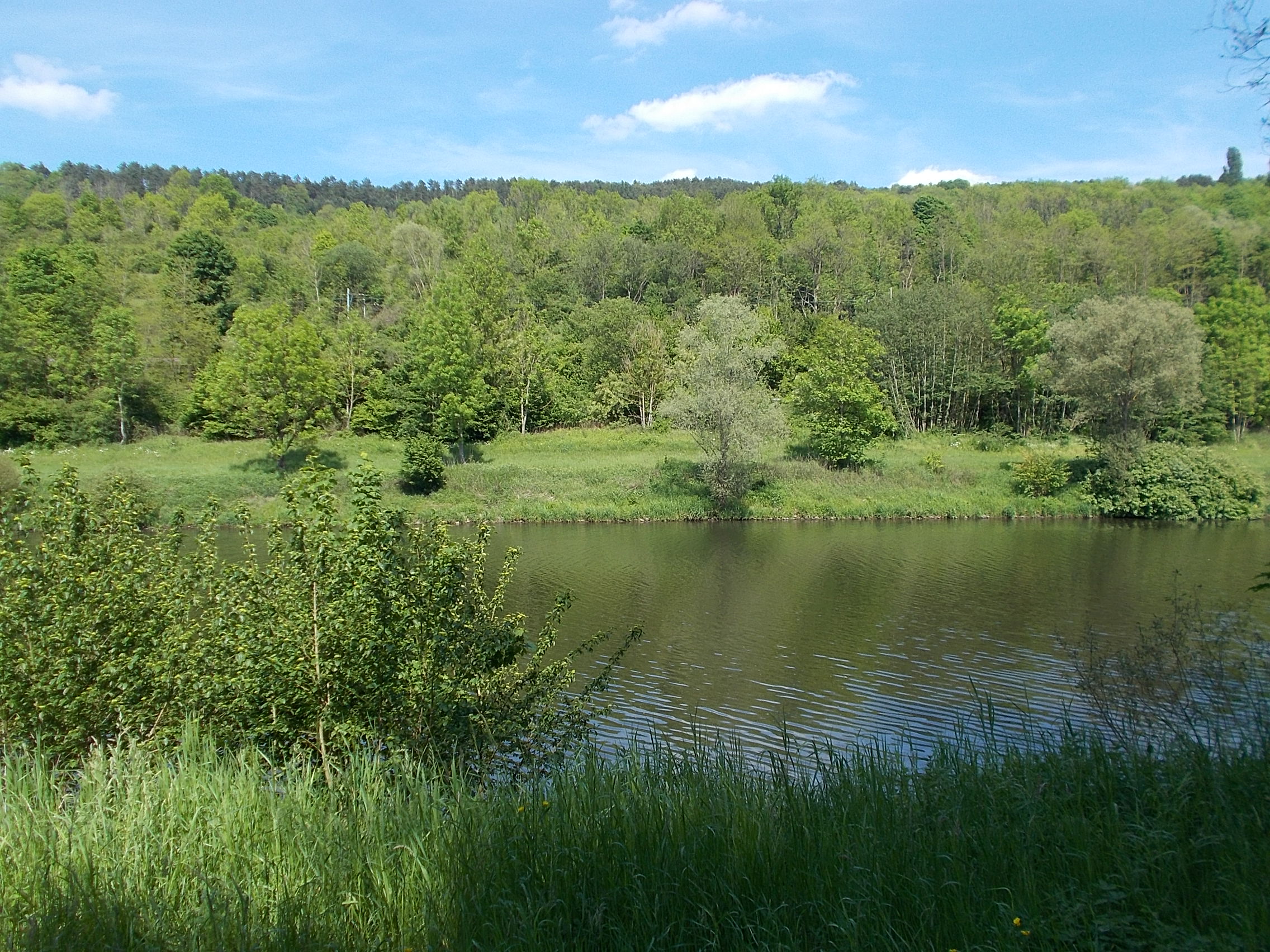 This stunningly pretty lake is in France's Parc Naturel Regional des Vosges du Nord. 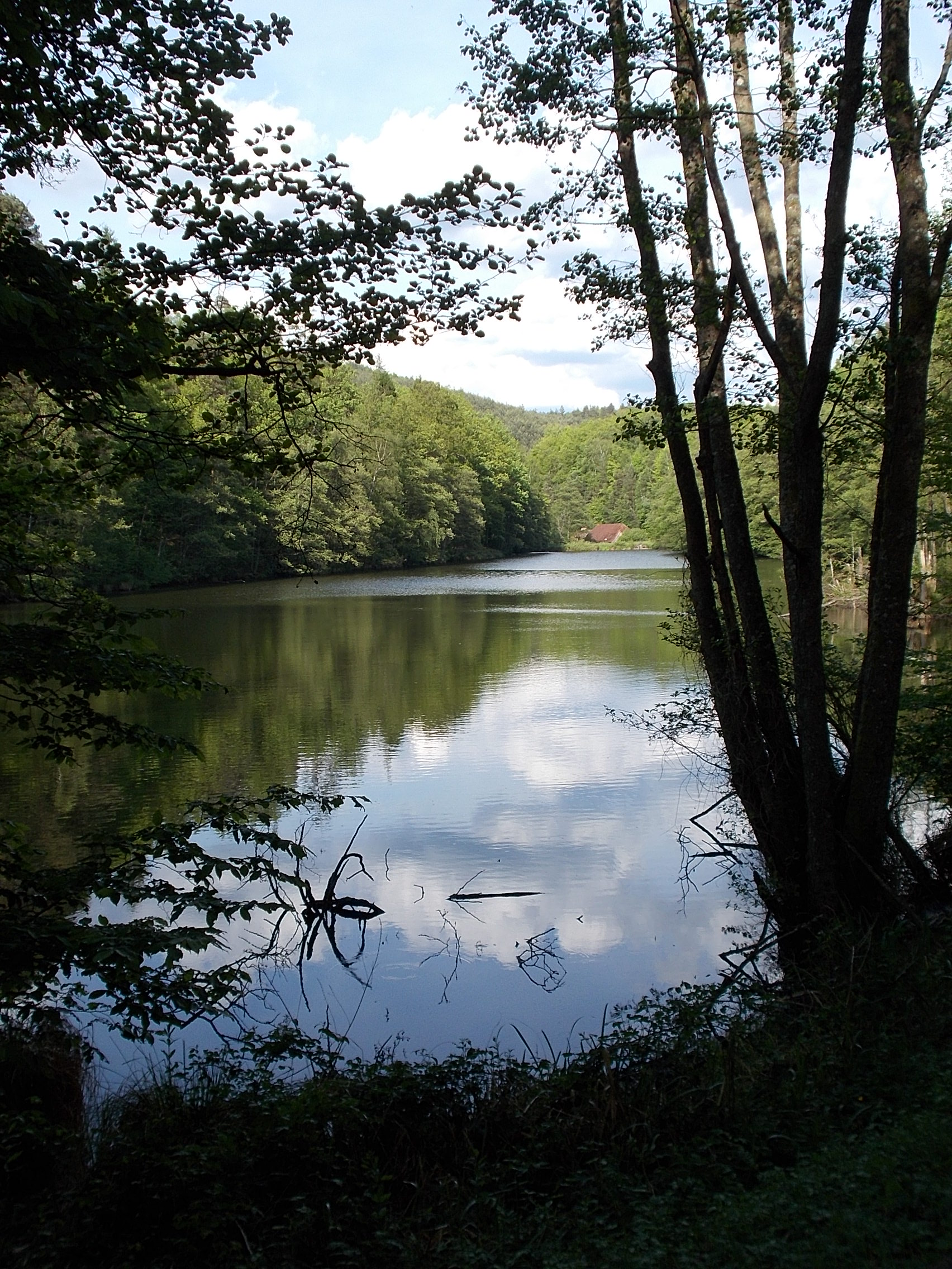 I passed a piece of the Maginot Line, a series of fortified positions on France's border with Germany. 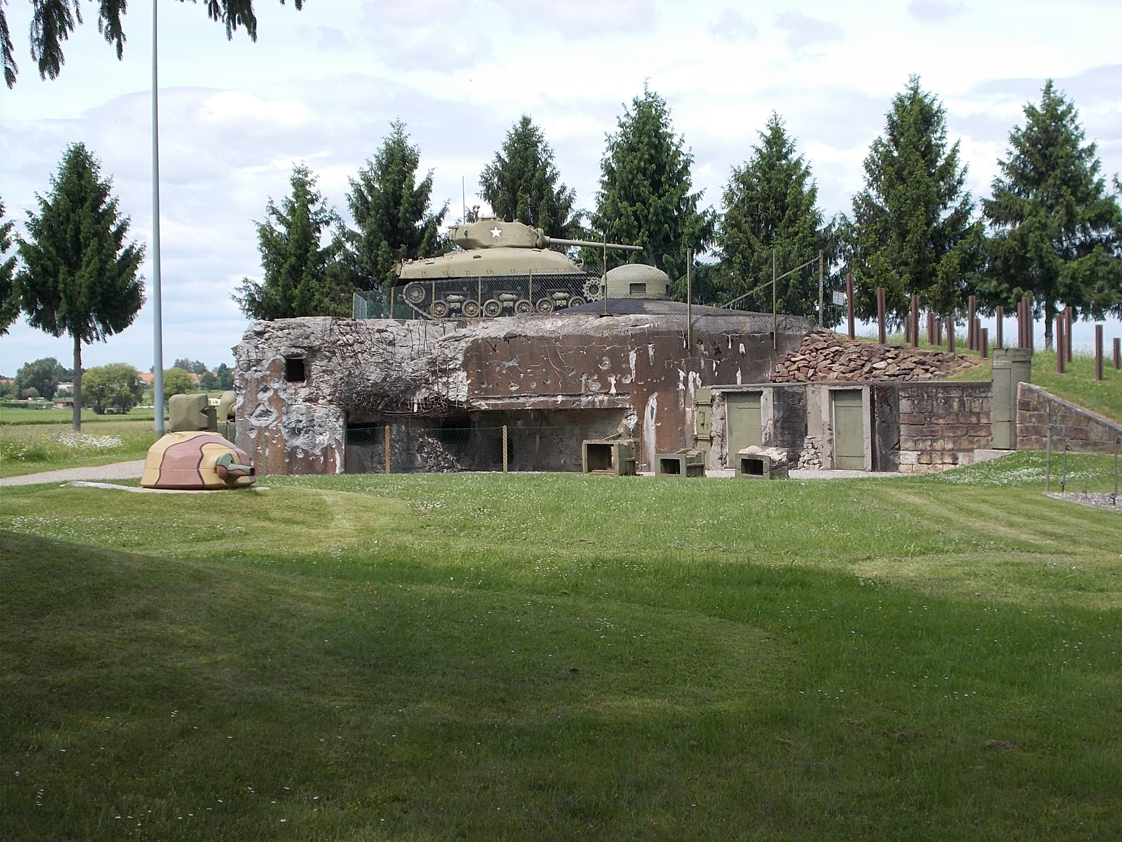 The wildflowers were abundant throughout Western Europe. This field of light lavender flowers was absolutely stunning when I rode past it. Unfortunately, the photo doesn't even come close. 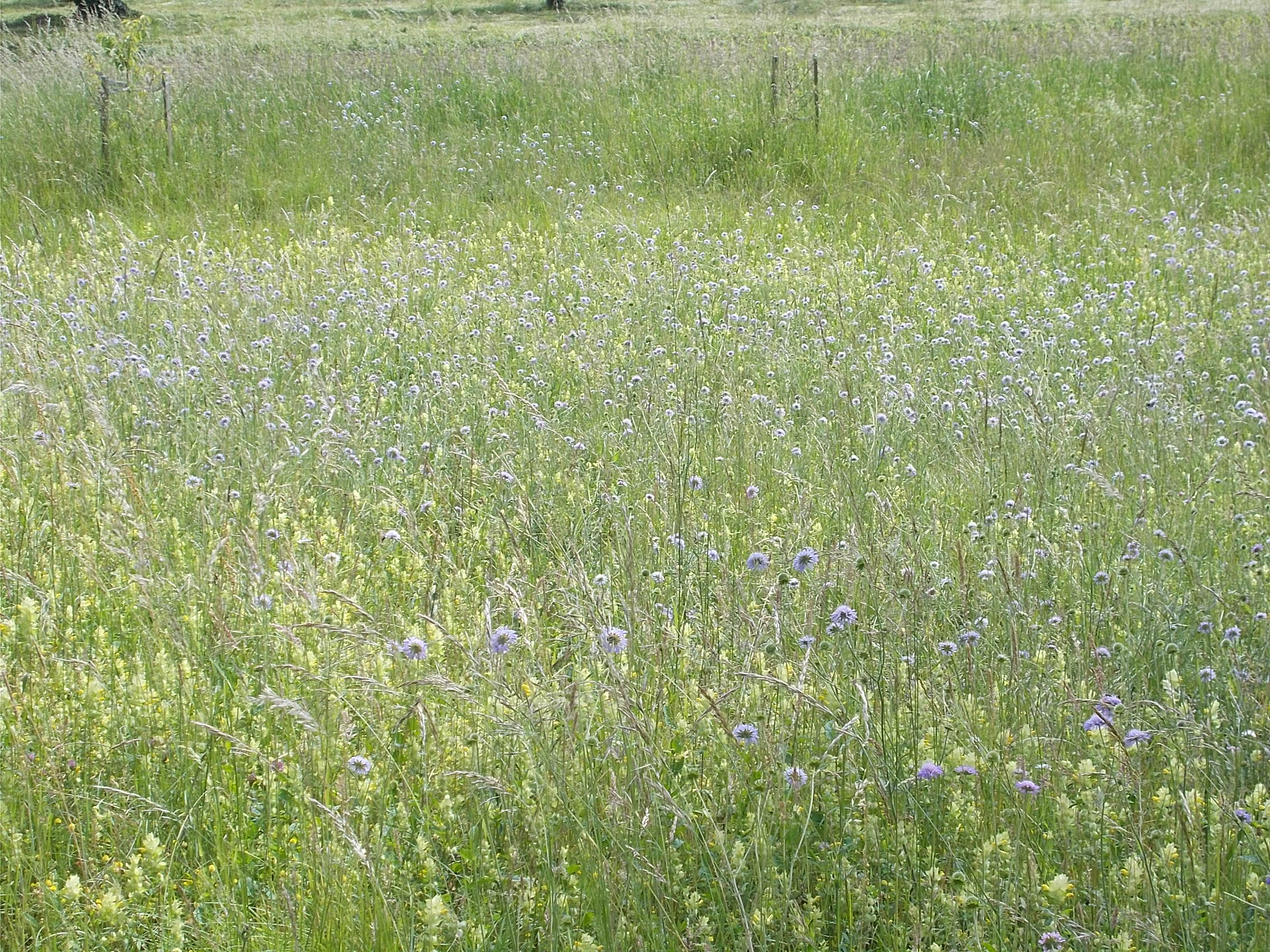 The Trinkhalle in Baden-Baden is full of Old World charm. 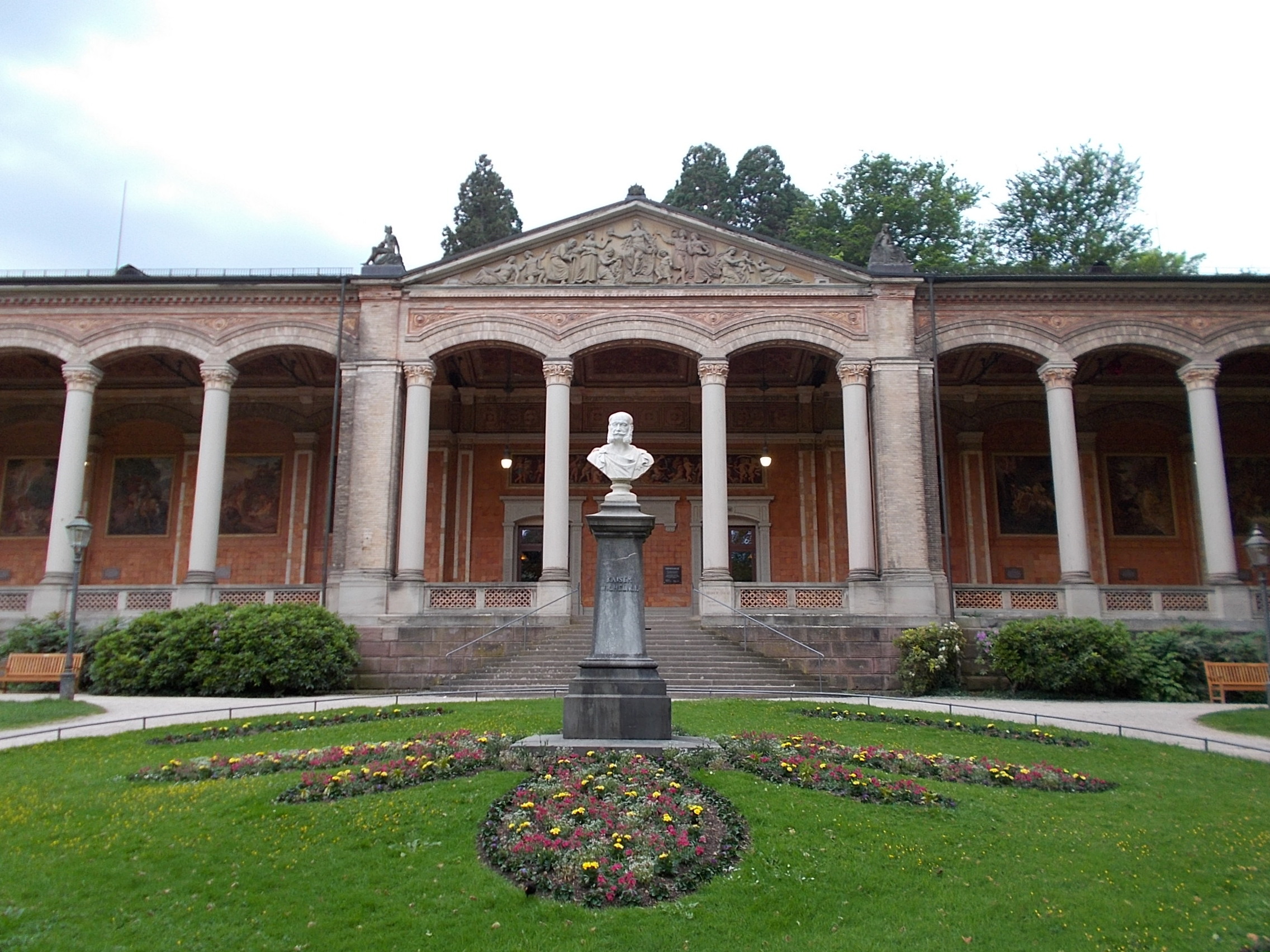 I spent a rest day in Steinbach near Baden-Baden and hiked to the top of the YBerg. Here is the view west into the valley. 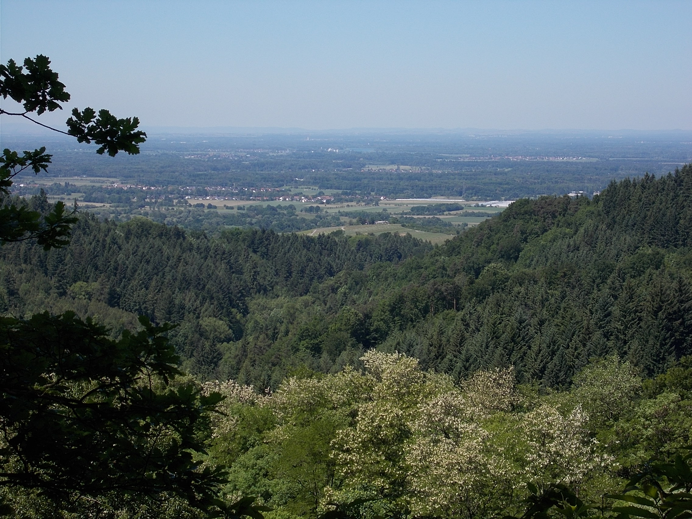 Here is the view looking north toward Baden-Baden, which is out of view. 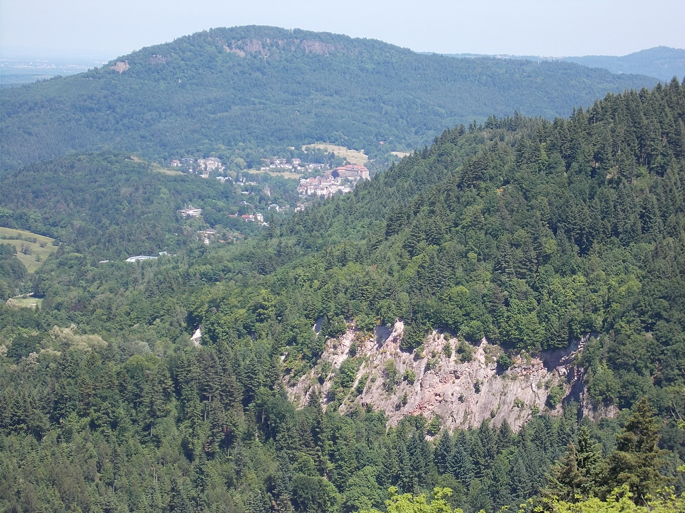 The night I spent in Steinbach happened to be the opening of the annual wine festival. This shot was taken just as the "mayor" finished reading an old proclamation declaring it a trading town. 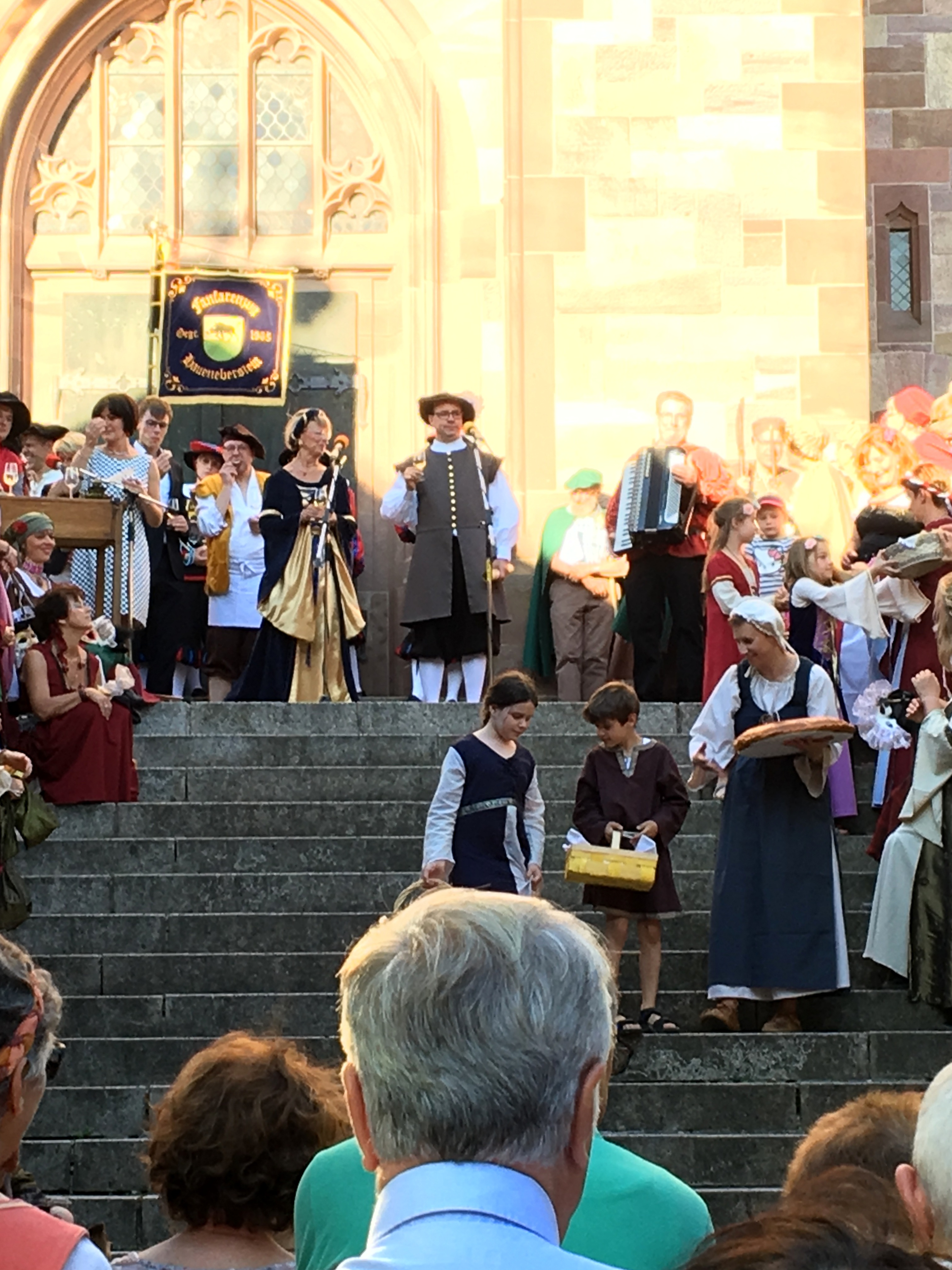 This street-side morality lesson in Offenburg(the serpent and the apple) caught my eye as I rode past. 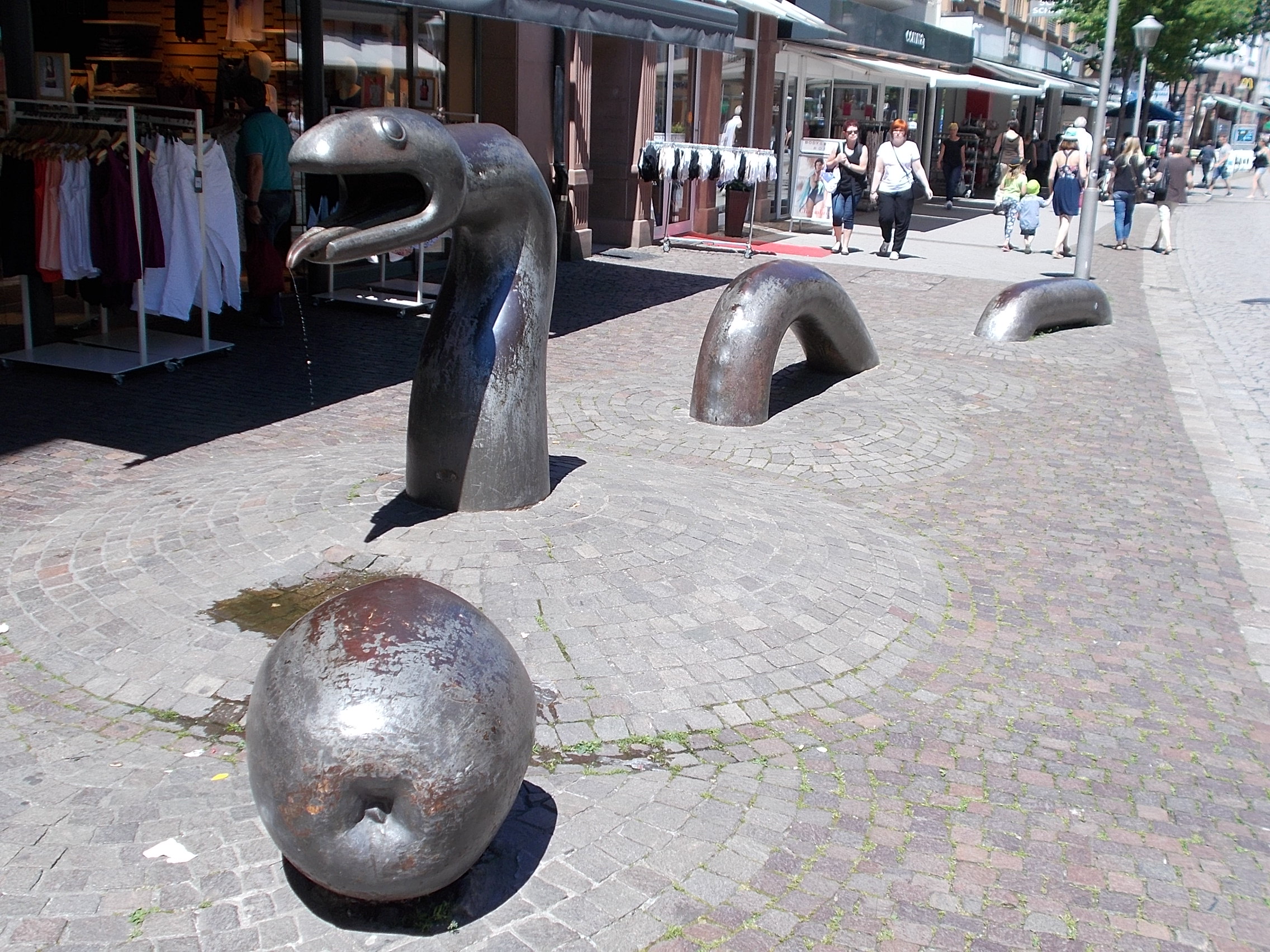 My ride along the Kinzig river, south of Offenburg, was full of pretty water views. 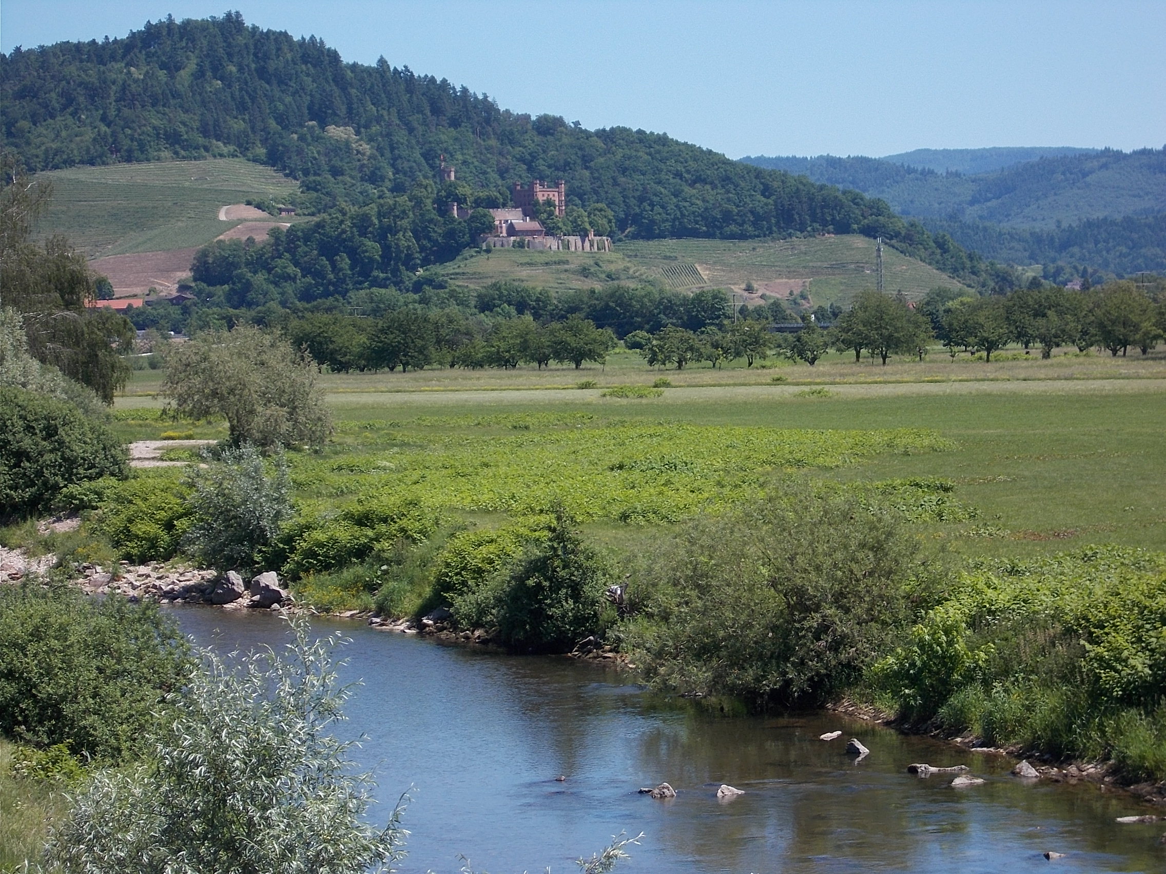 I rode up the Schiltach River from its confluence with the Kinzig until it turned away at Schramberg. This view is just south of Schiltach, my stop for the night. 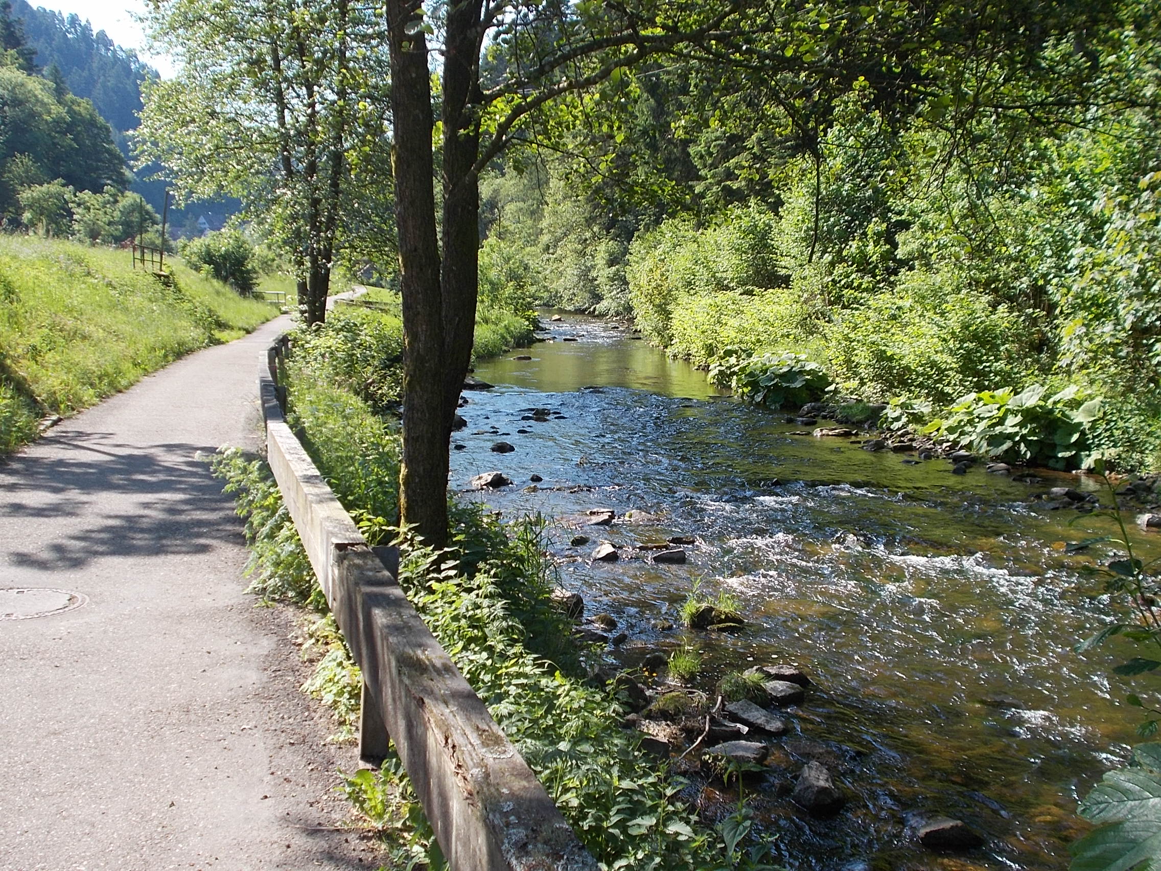 This is the vista from the top of valley of the Schiltach, a hard, sweaty low gear grind. It took me an hour to ride the 3 miles to the top at Hardt! 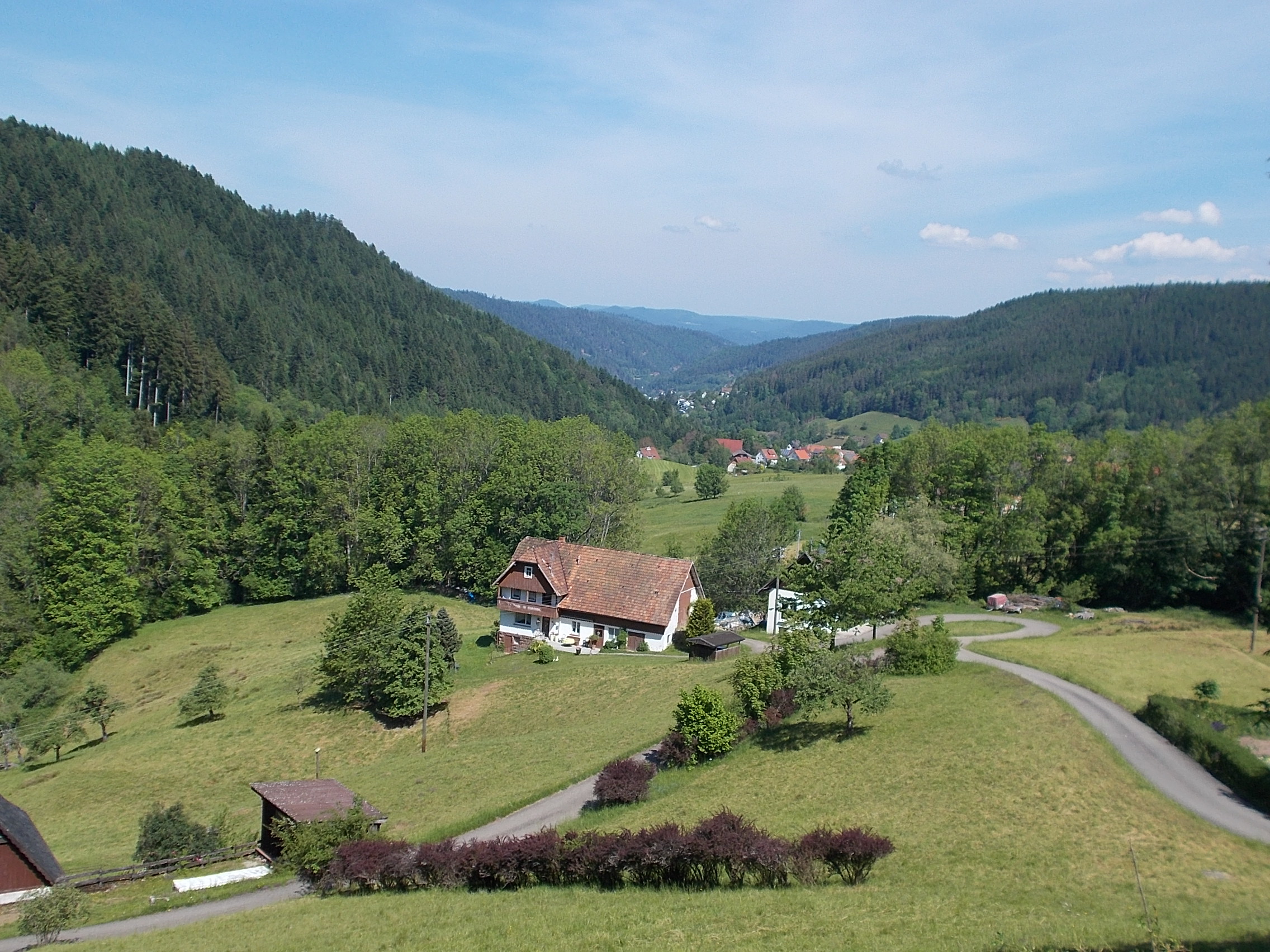 This riot of yellow wild and rapeseed flowers was too stunning to pass up. 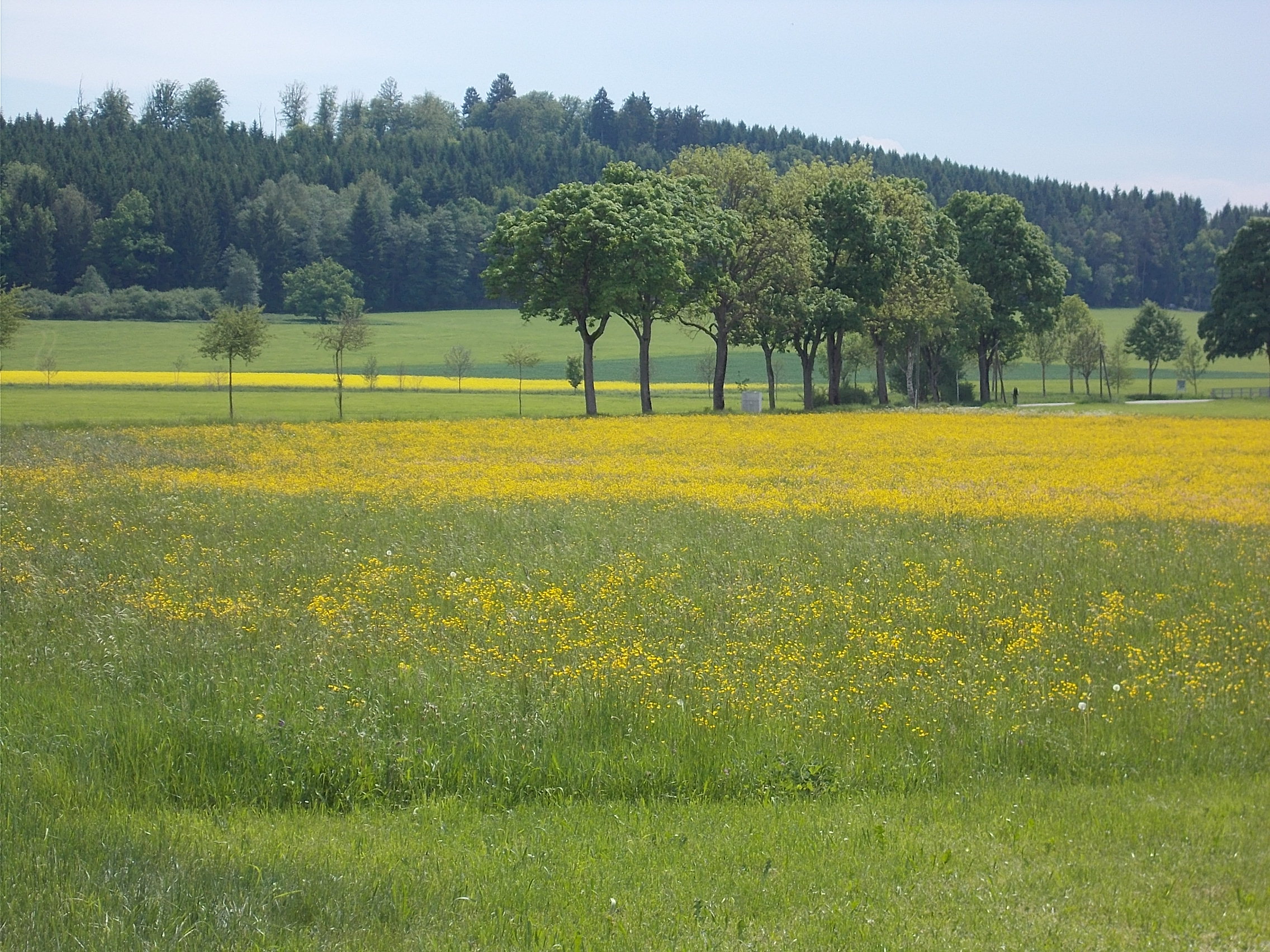 The Bodensee is where Germany, Switzerland, and Austria meet. This wall of bird boxes was along its northern shore. Note the bird looking out of the second one the left. 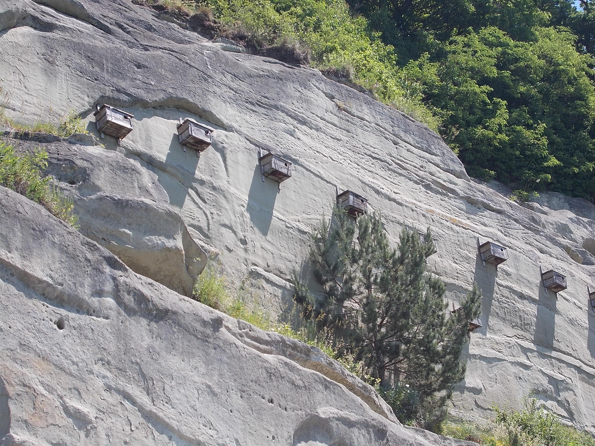 I spent the night in Lindau, an island in the southeast corner of the Bodensee, where I saw this cute ensemble. 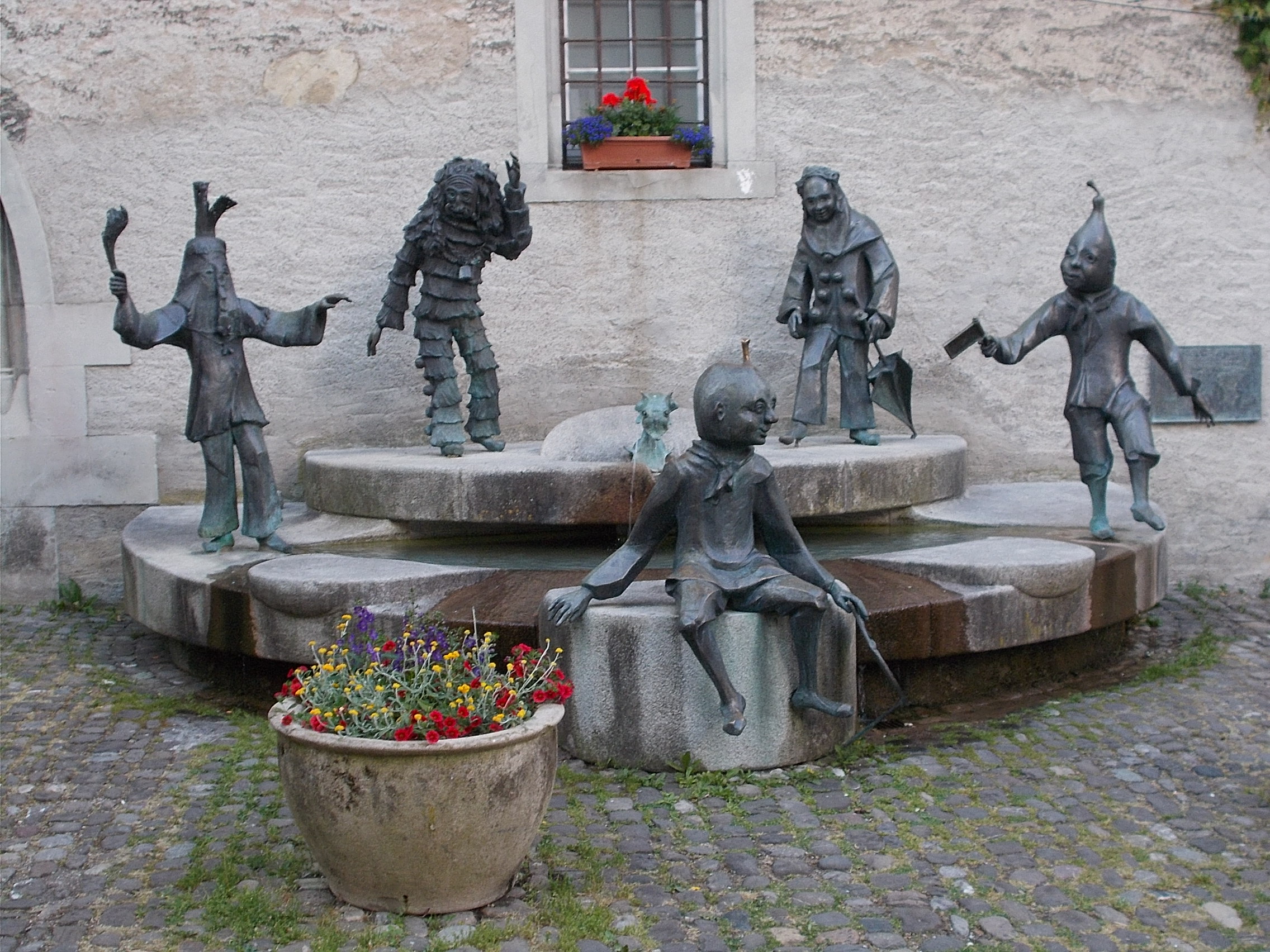 This is a view through Lindau's harbor entrance near sunset. 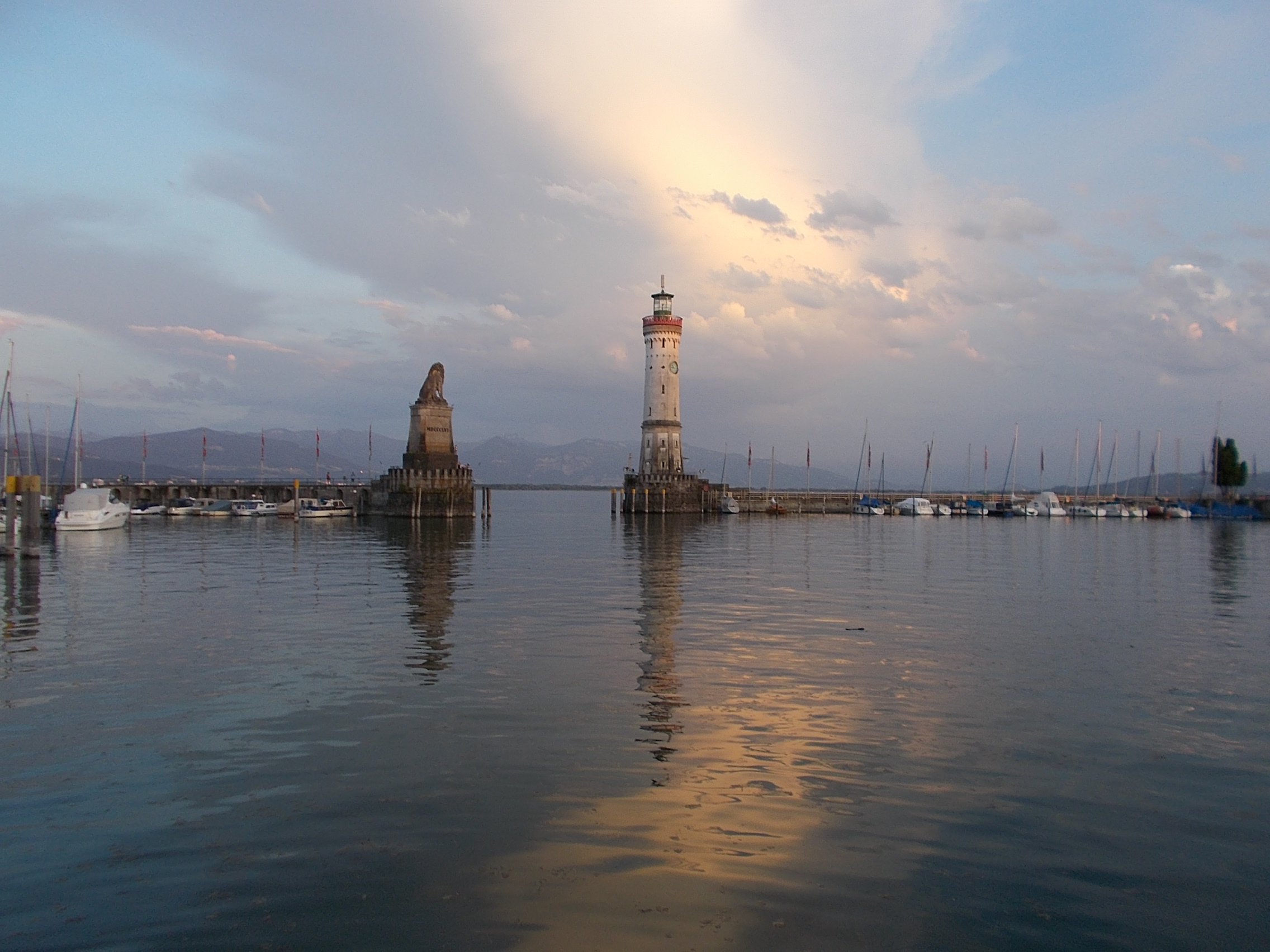 The Alps loom over the hills surrounding the Bodensee. 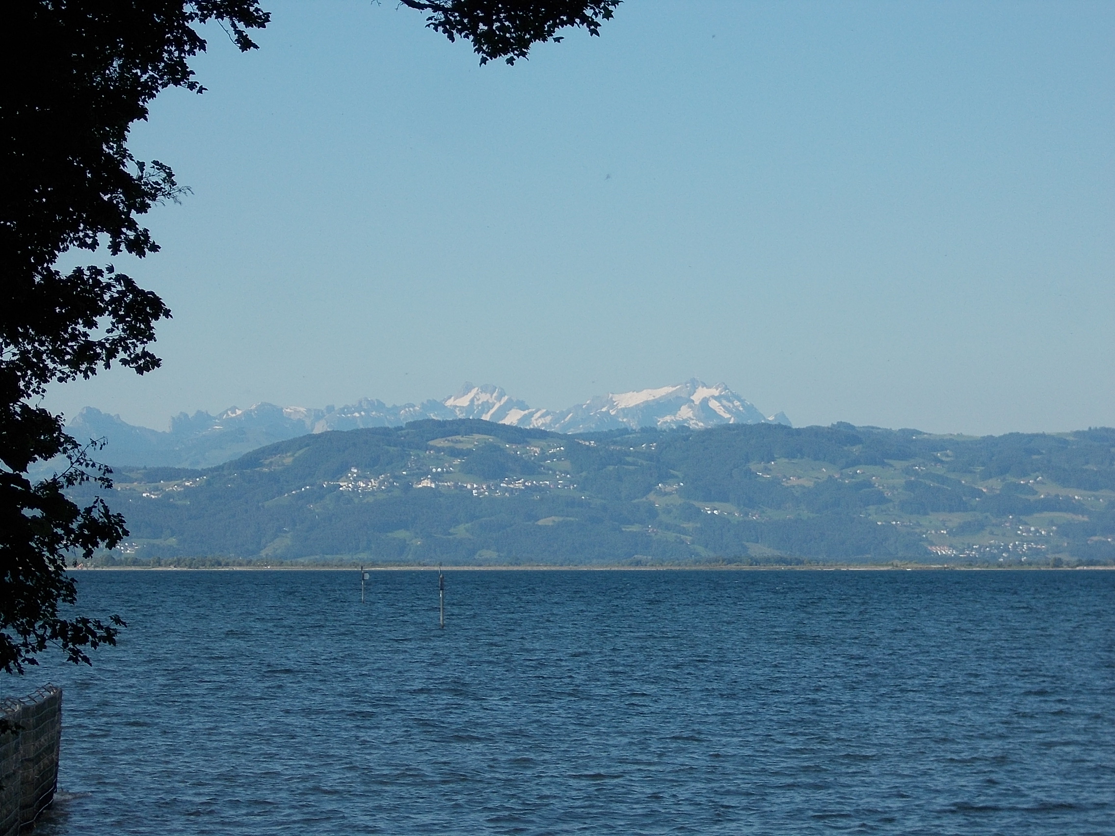 The ride up into the Alps was steep, long, and twisting. 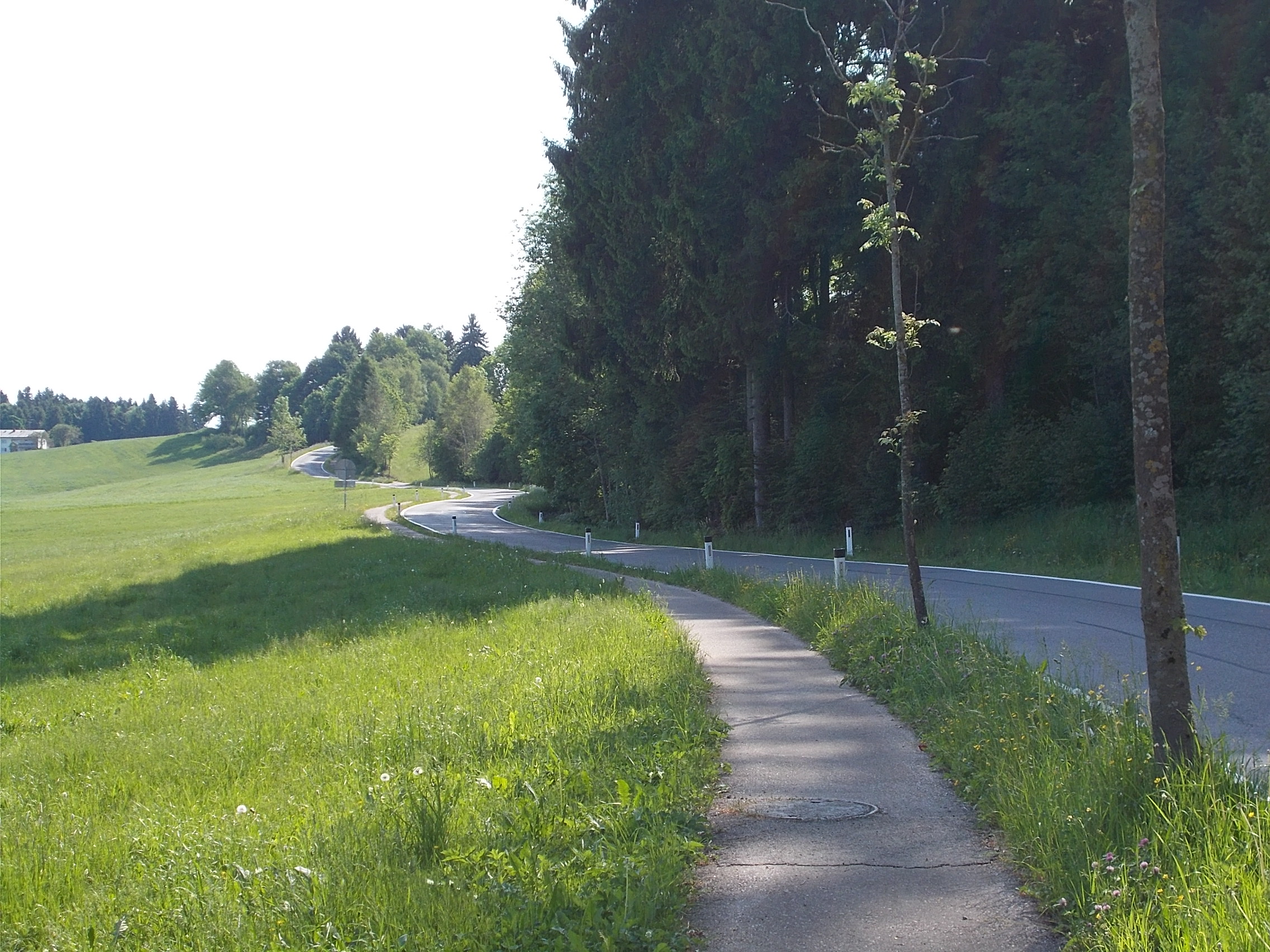 The morning alpine vista at the start of the climb out of Bad Hindelang. 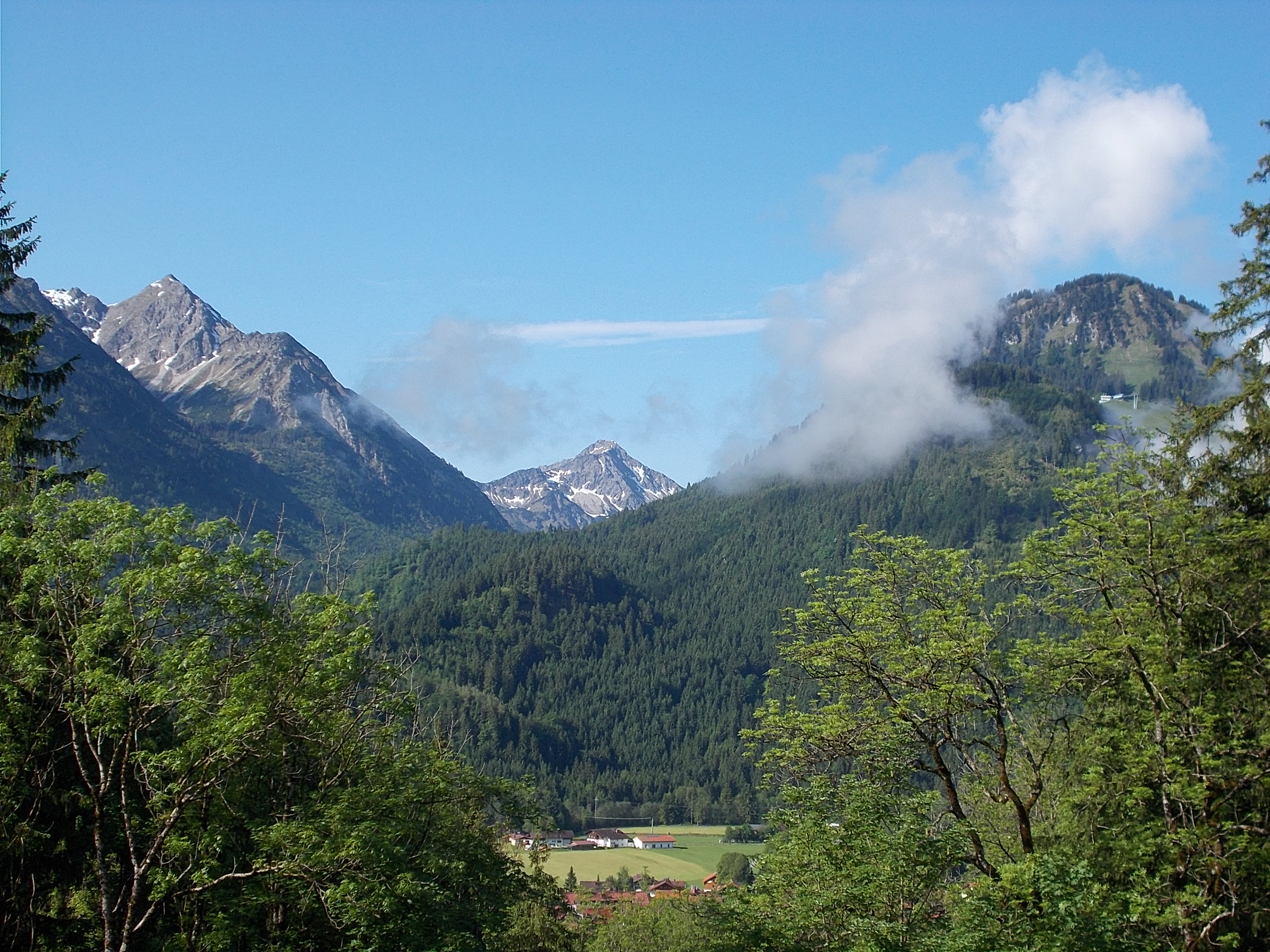 This field of wildflowers in the valley just past Oberjoch seemed unending. 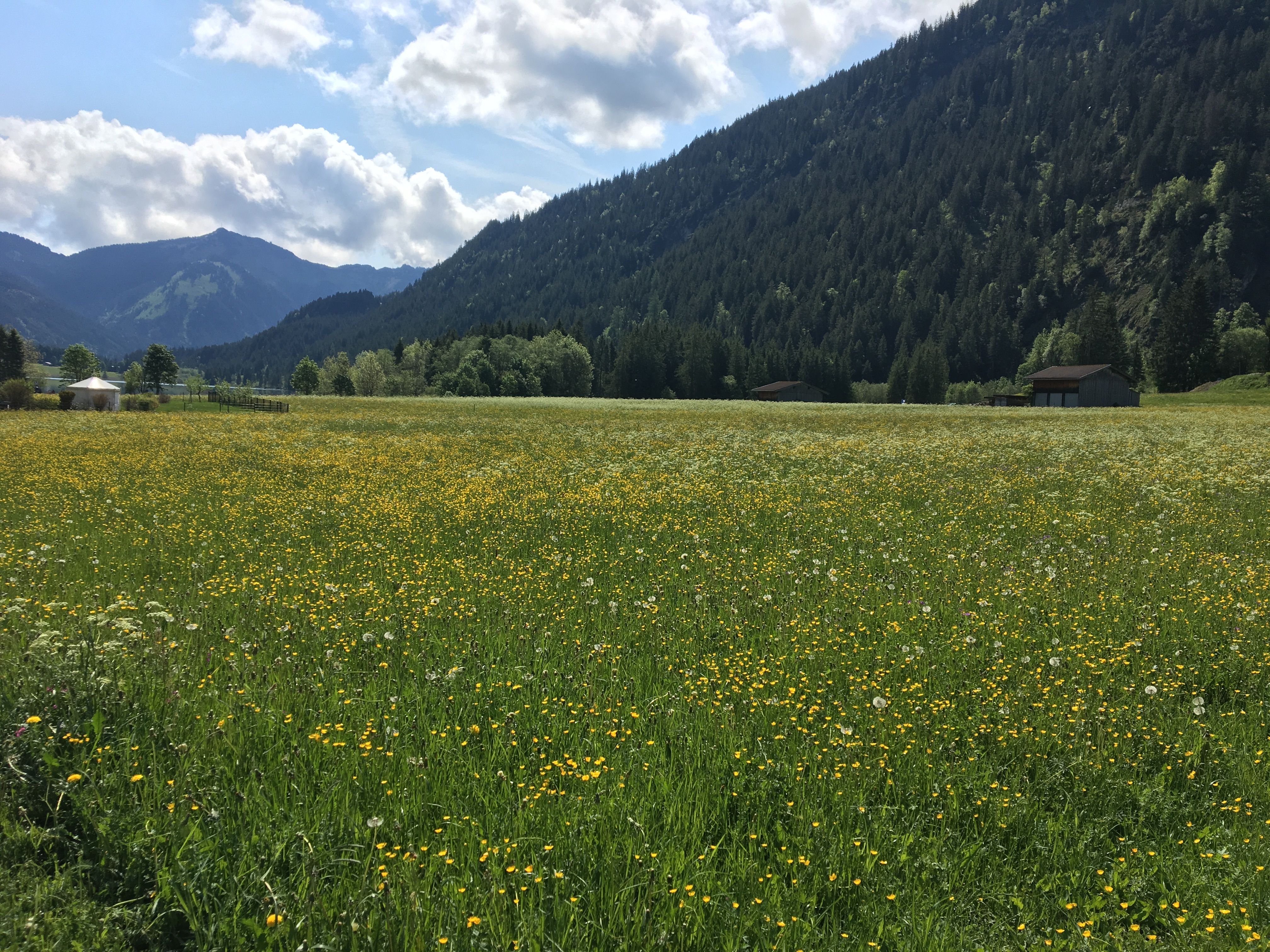 Stunning reflections in the Haldensee. 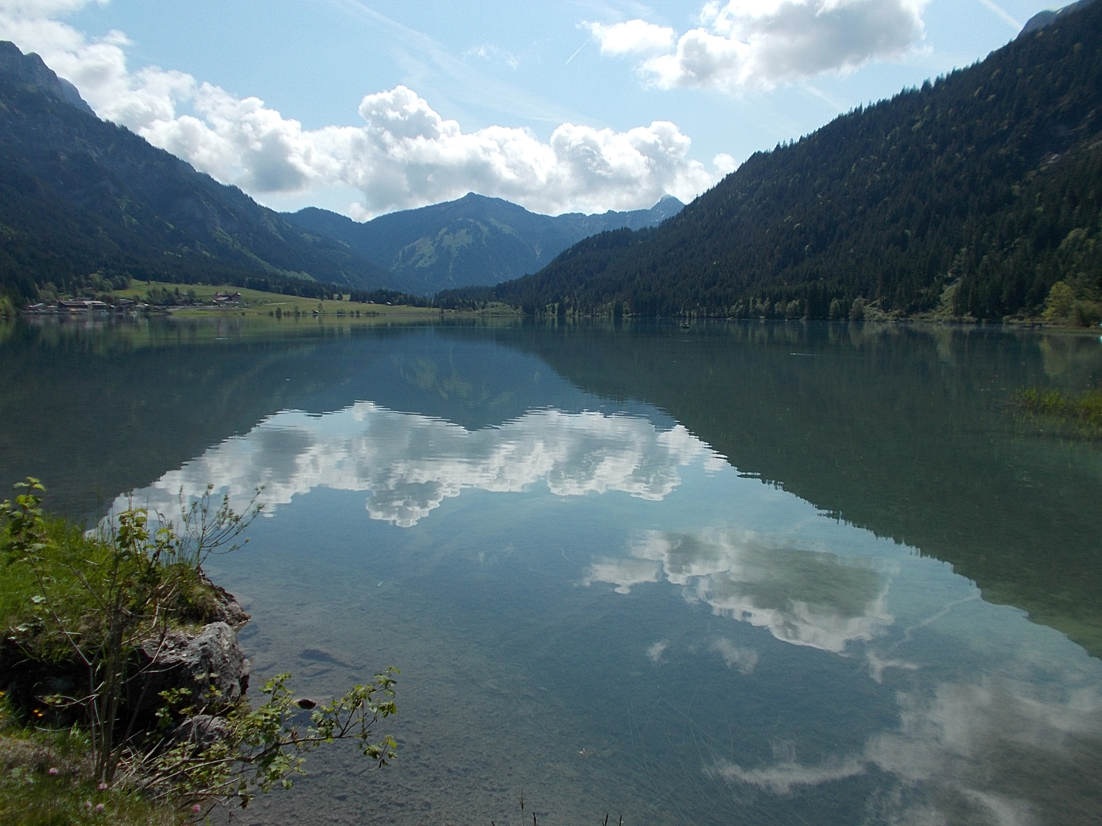 The view down the Plansee and its aquamarine waters. 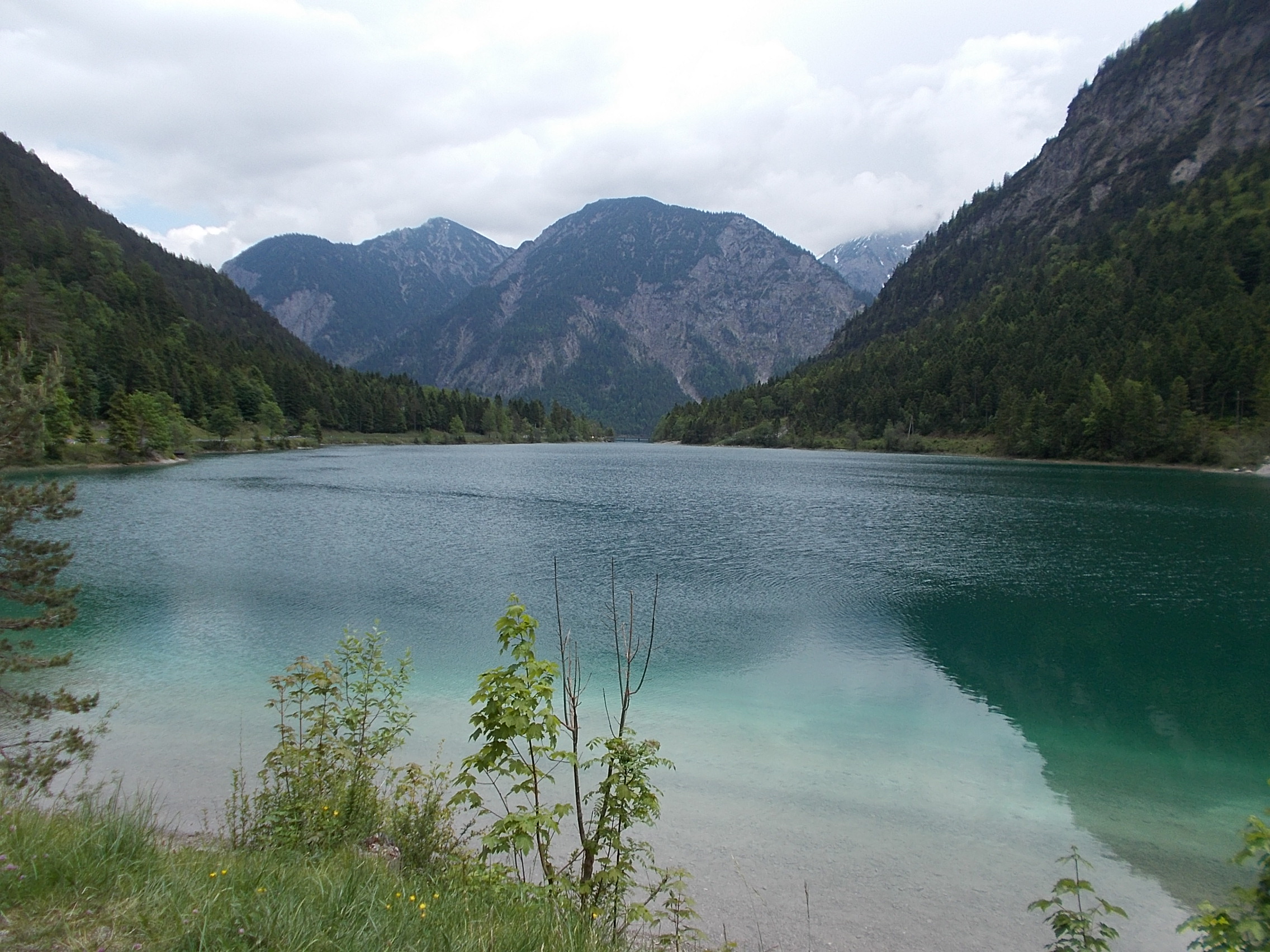 I followed a loose gravel path along the beautiful Schellbach river that challenged my bike riding skills. 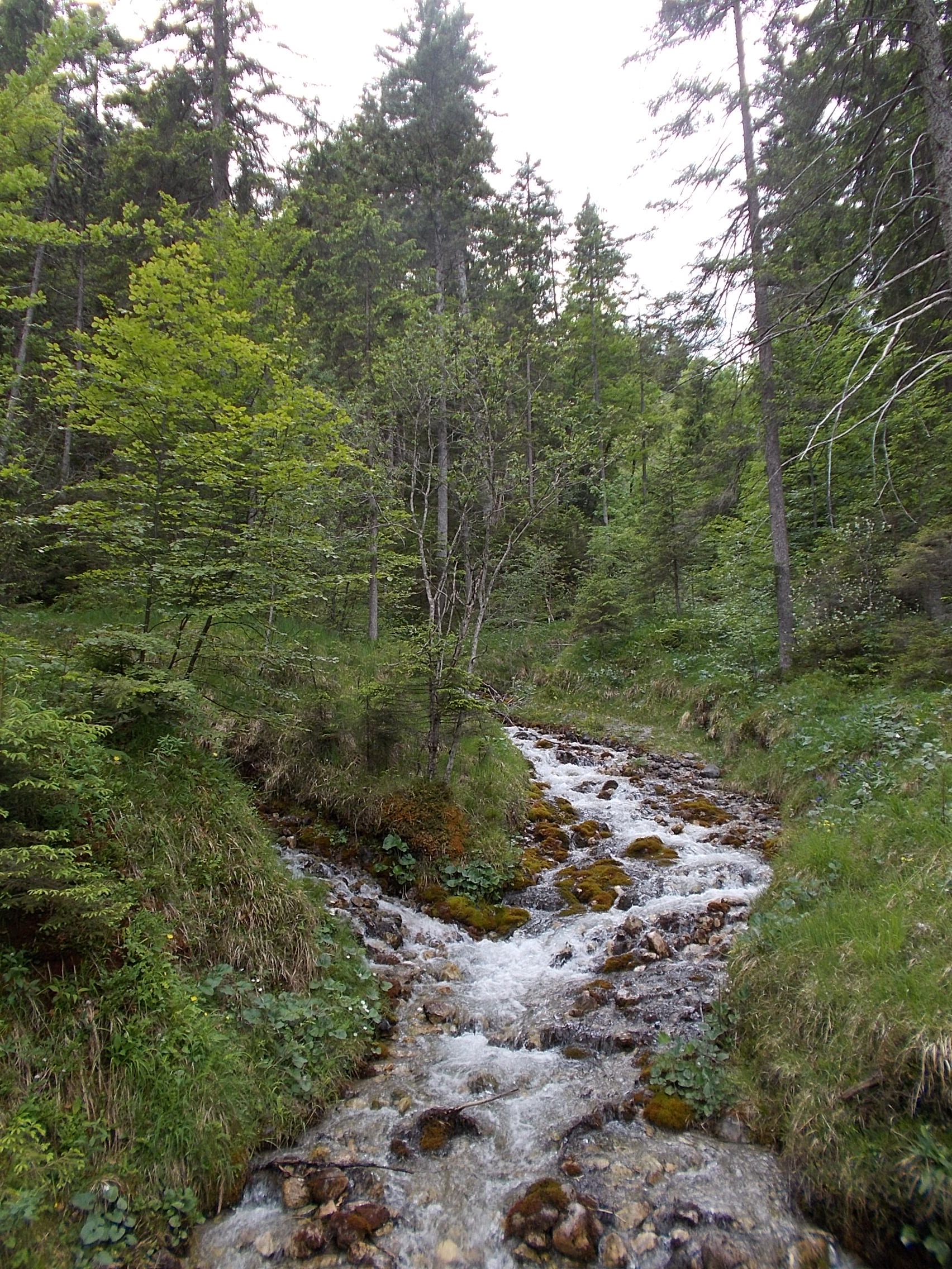 The bike path into Garmisch-Partenkirchen weaved through forest. 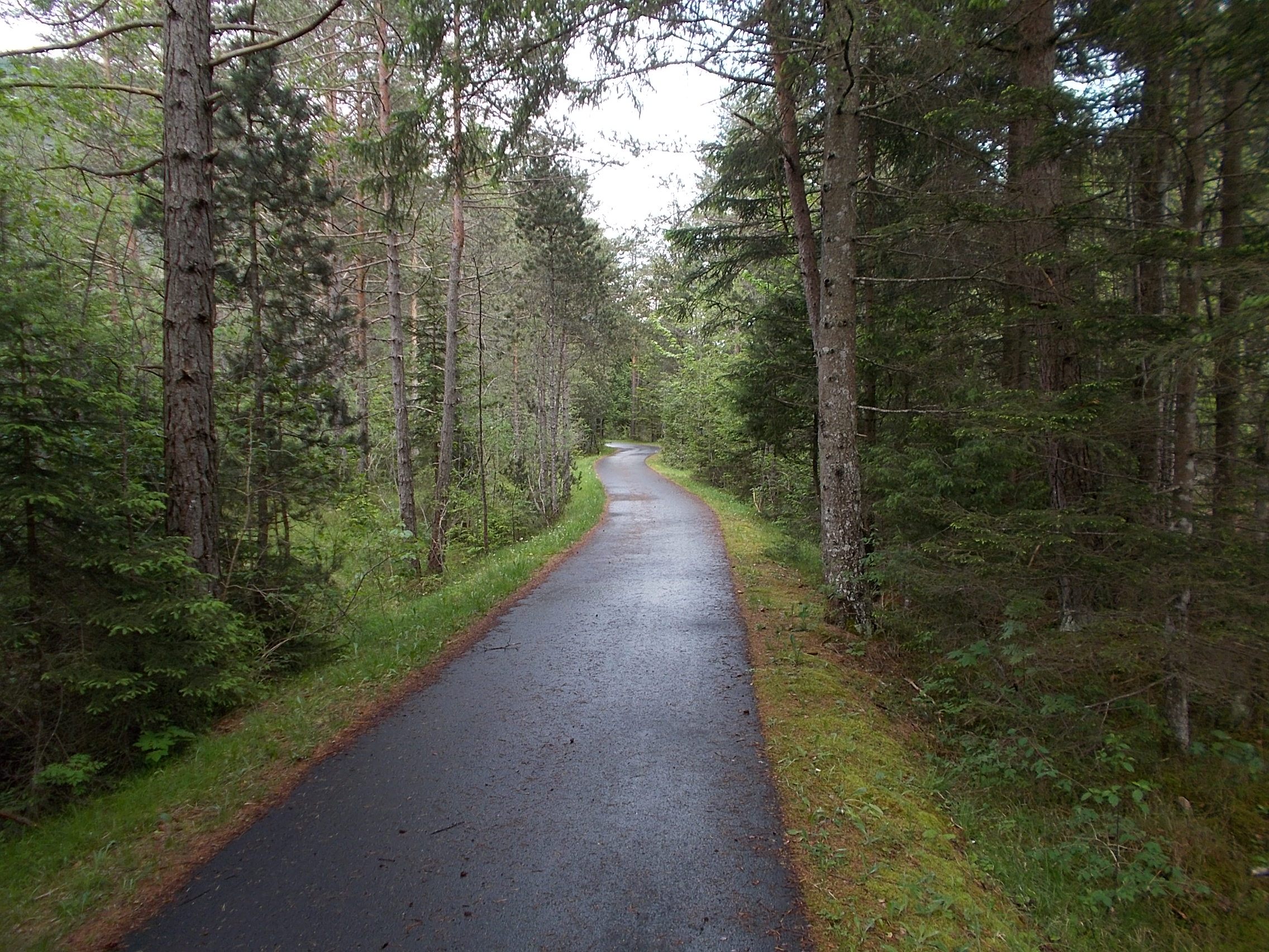 Garmisch-Partenkirchen is surrounded by wonderful mountain vistas. 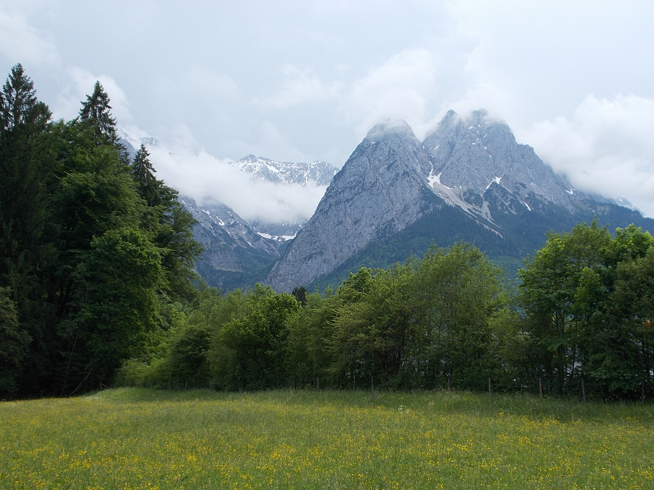 The 1936 Winter Olympic Ski Jumping was held in Garmisch-Partenkirchen. The stone facades around the stadium are Nazi originals. 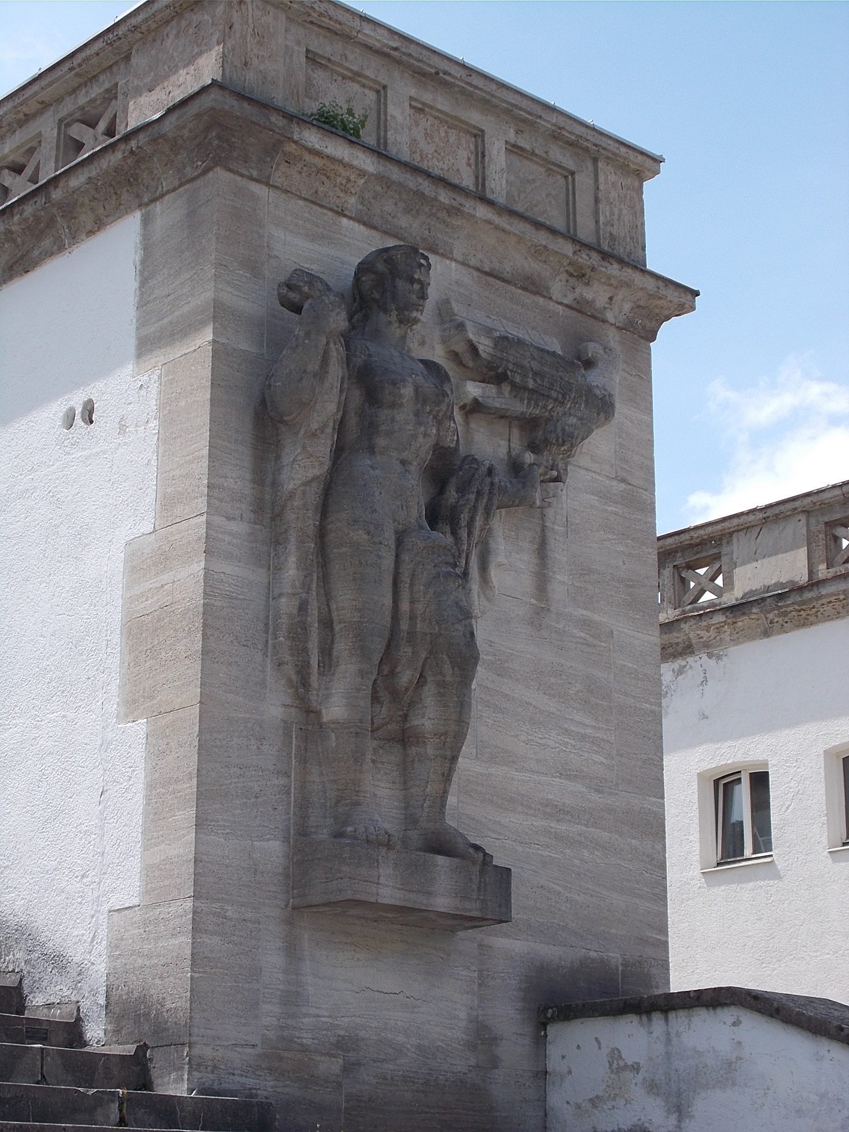 Just above Garmisch-Partenkirchen is a narrow gorge through which the Partnach River surges. The sound of the river churning through this passage was unnerving. 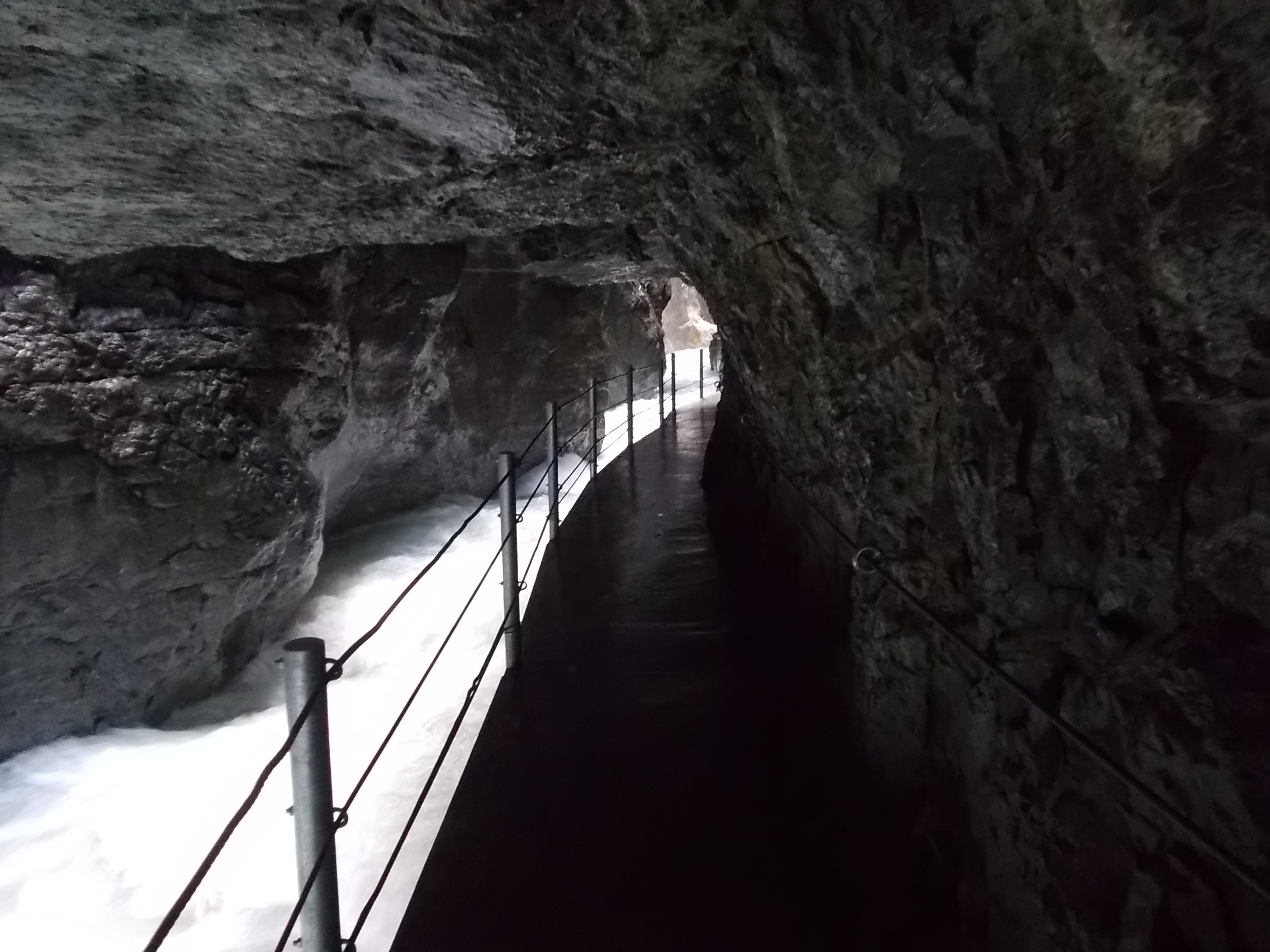 The ski ramp and mountains above Garmisch-Partenkirchen. 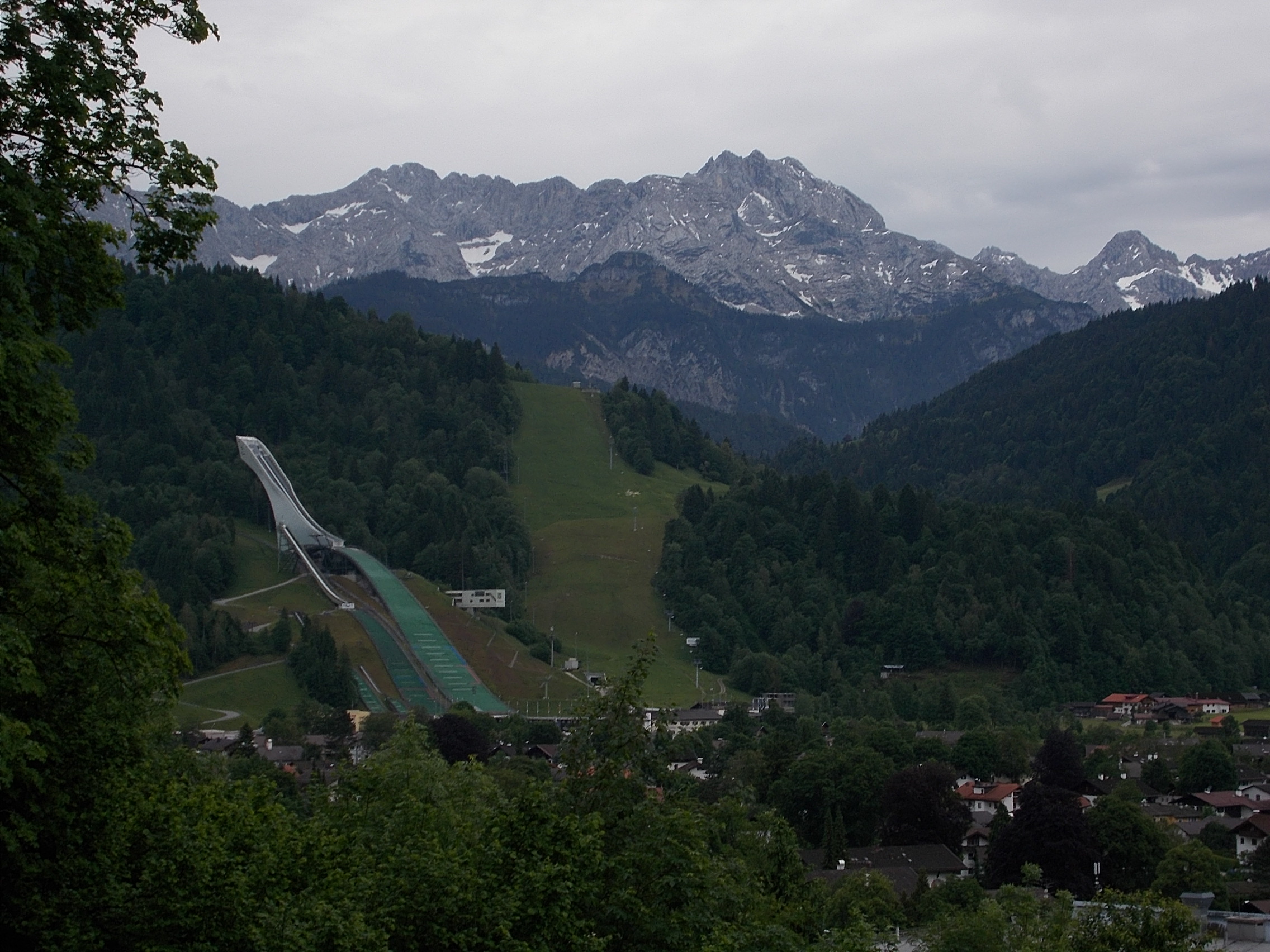 Looking south over the Isar River just past Mittenwald. 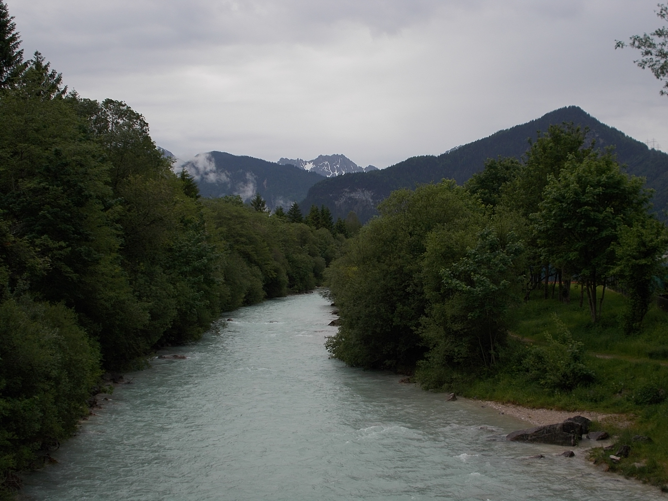 View across the Wildsee in the pretty town of Seefeld.  Just past Seefeld, I saw this wonderful field of flowers.  This view from the top of the Seefeld Saddle looks down into the valley of the Inn River.  The main altar of Innsbruck's Wiltern Bascilica. 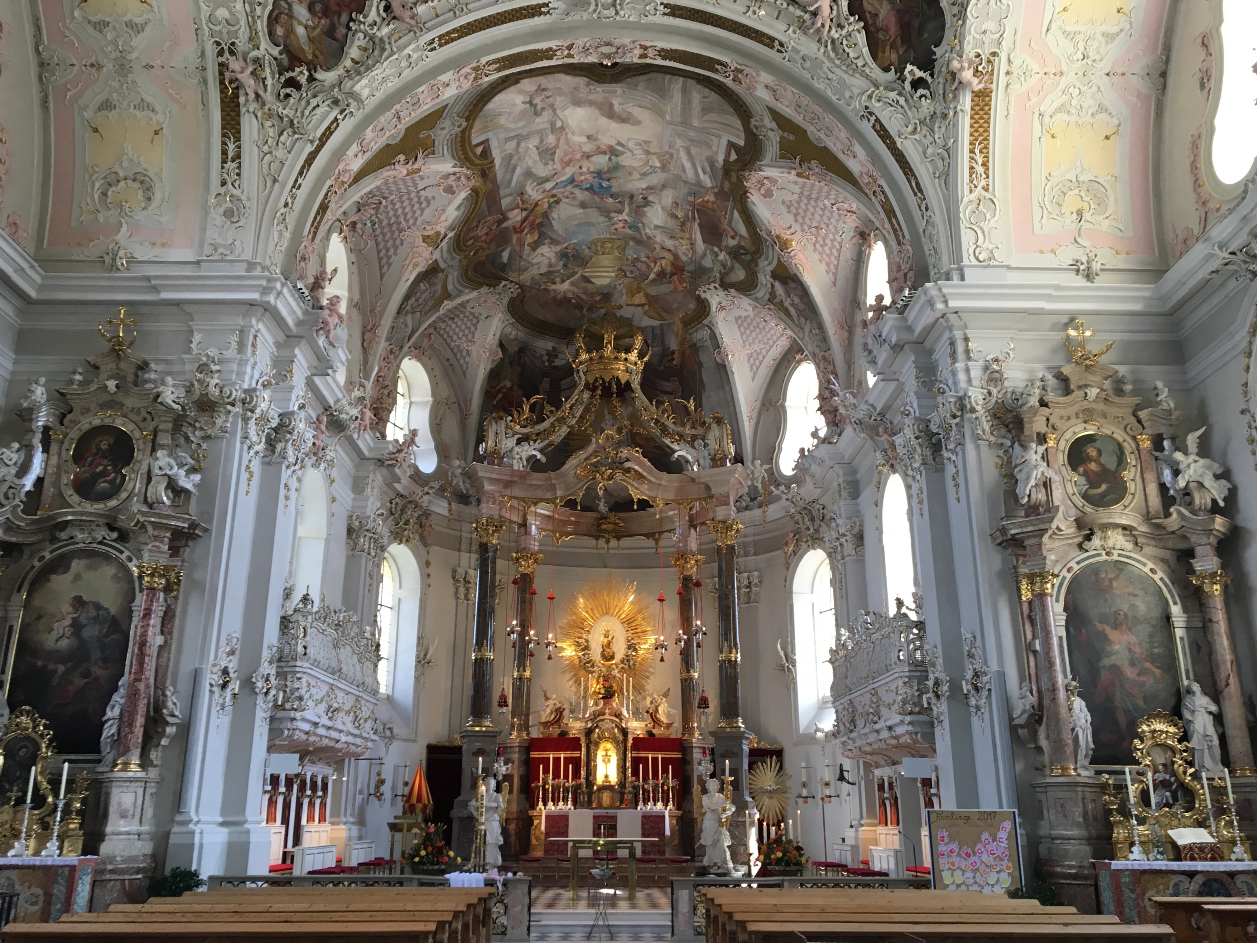 The mountain views all around Innsbruck are truly stunning. 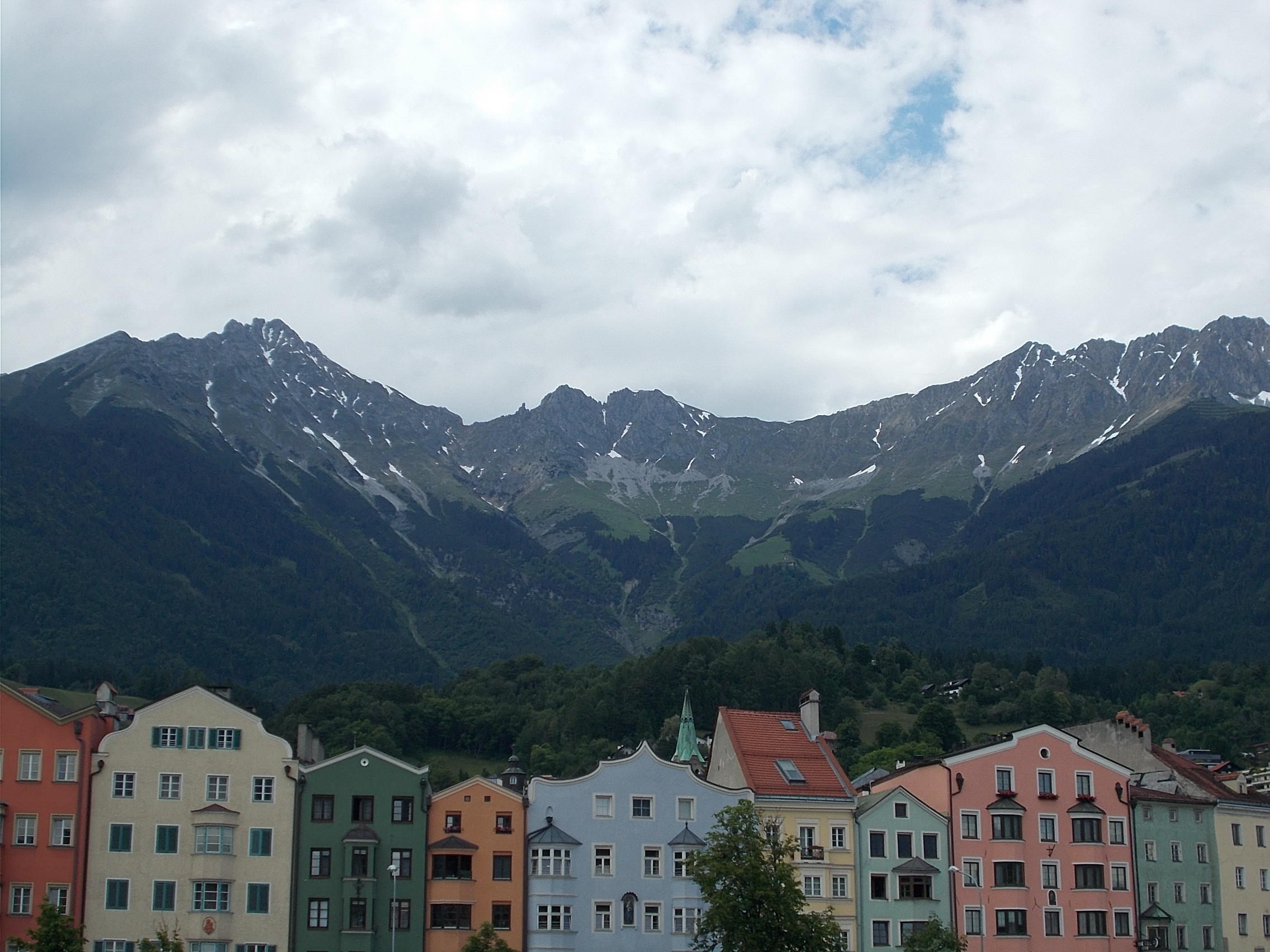 It rained the day I left Innsbruck. This dark, foreboding photo was taken just after I left. 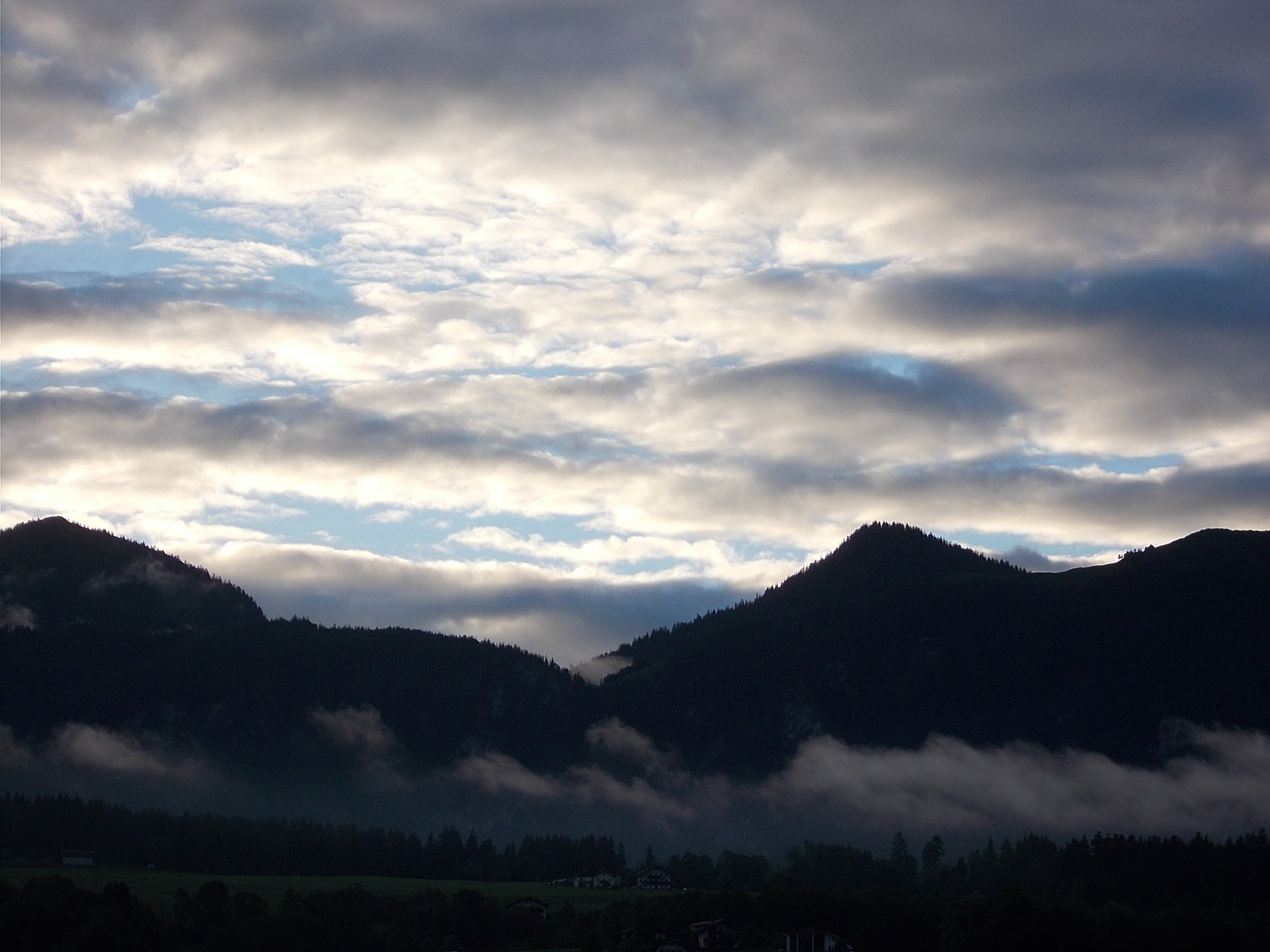 The Saalach River near Lofer in the Tyrol. 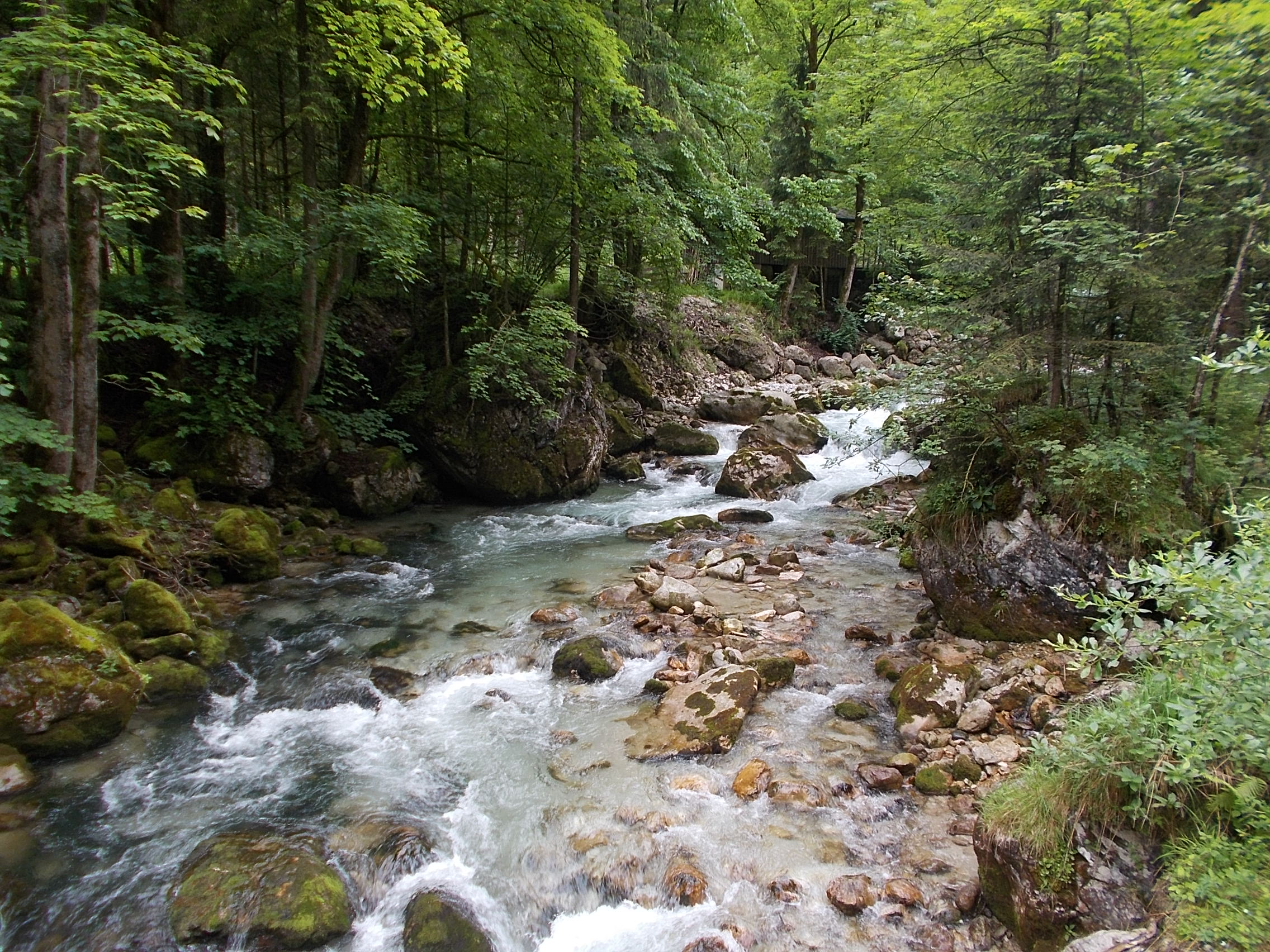 Mountain vista north of Lofer. 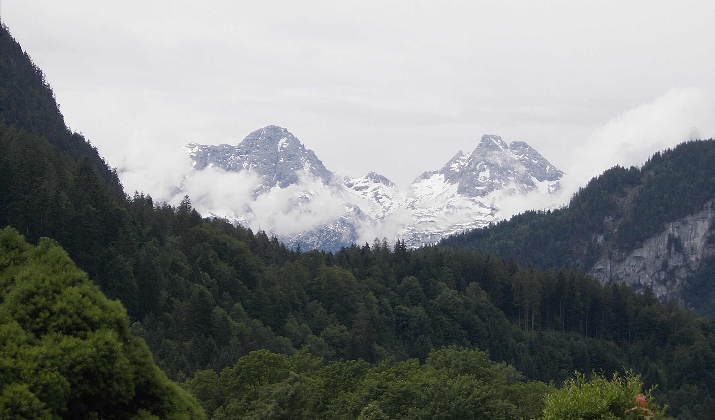 Bike path through the forest just northwest of Unterjettenberg. 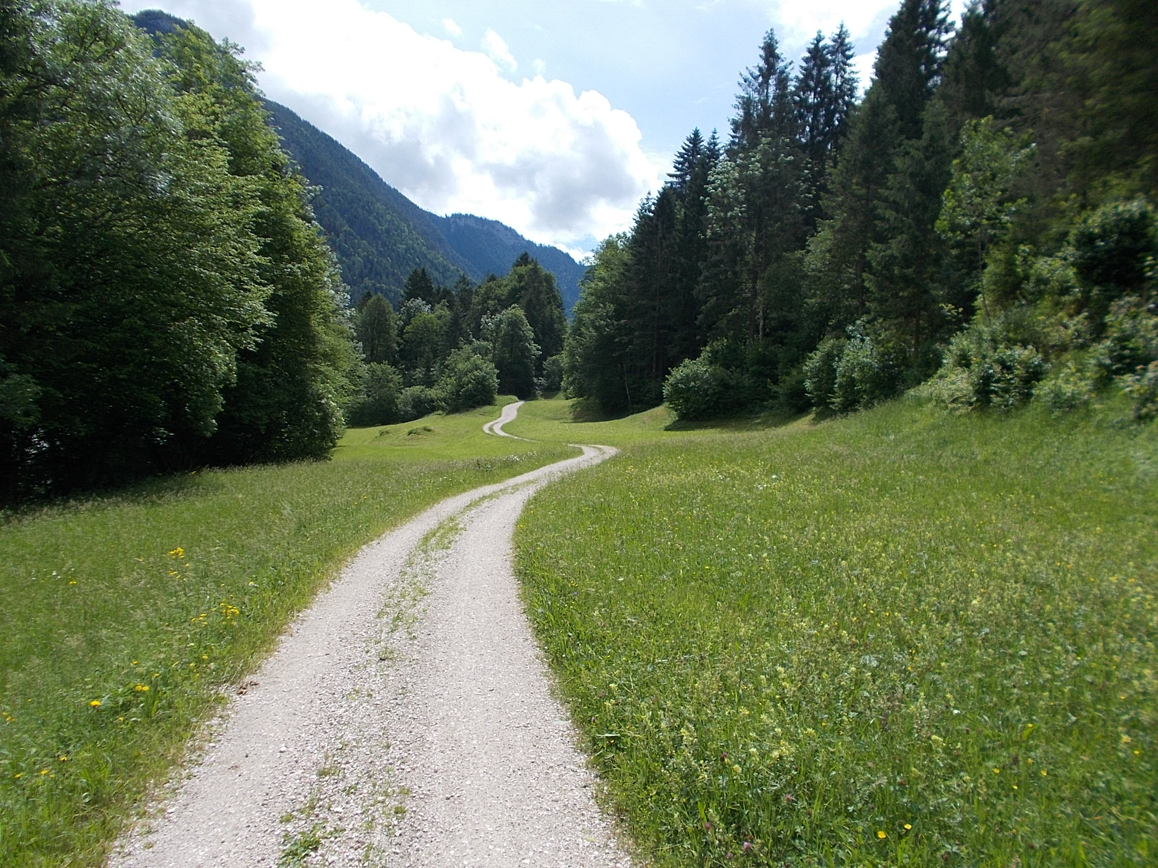 The stunning beautiful Schwarzbach River. 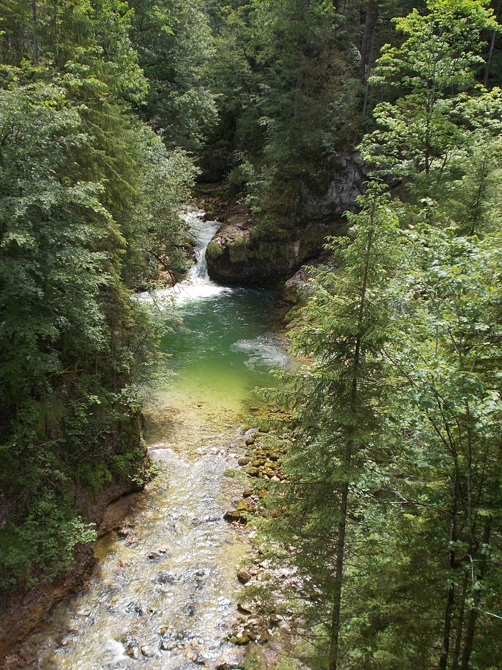 The milky blue Ramsauer Ache near Berchtesgaden. 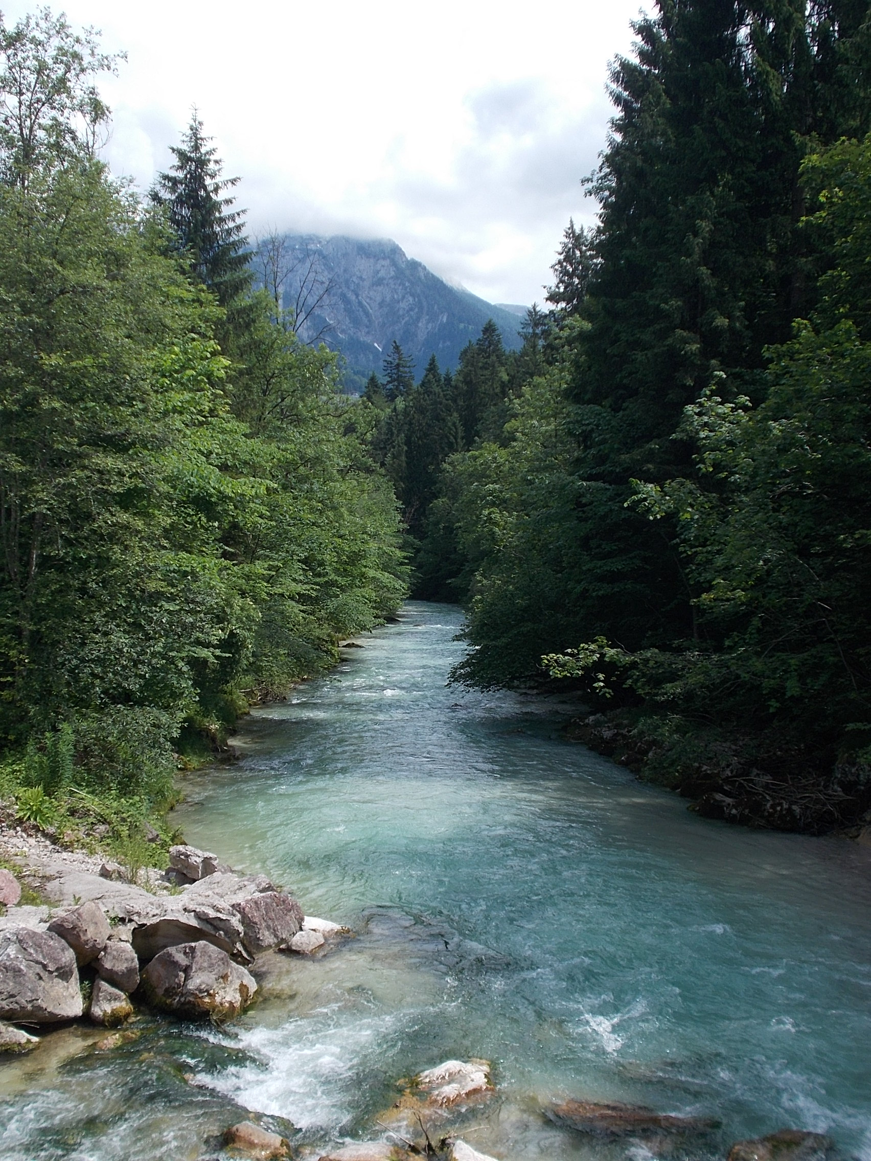 View over the village of Berchtesgaden. 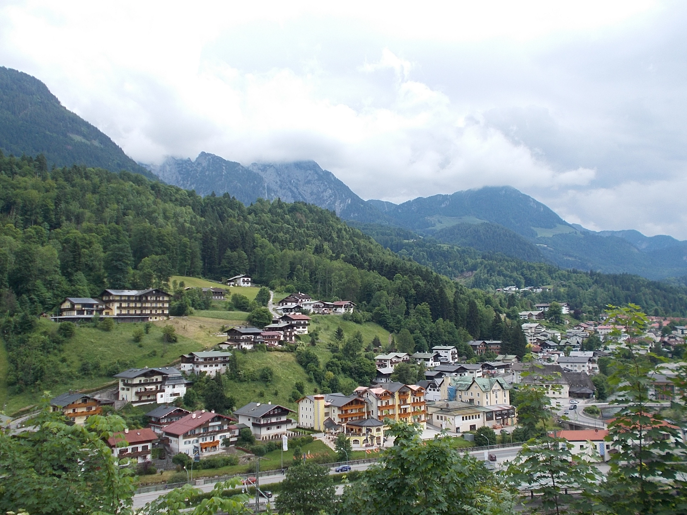 Mountain vista from area near Hitler's home in Obersalzberg. 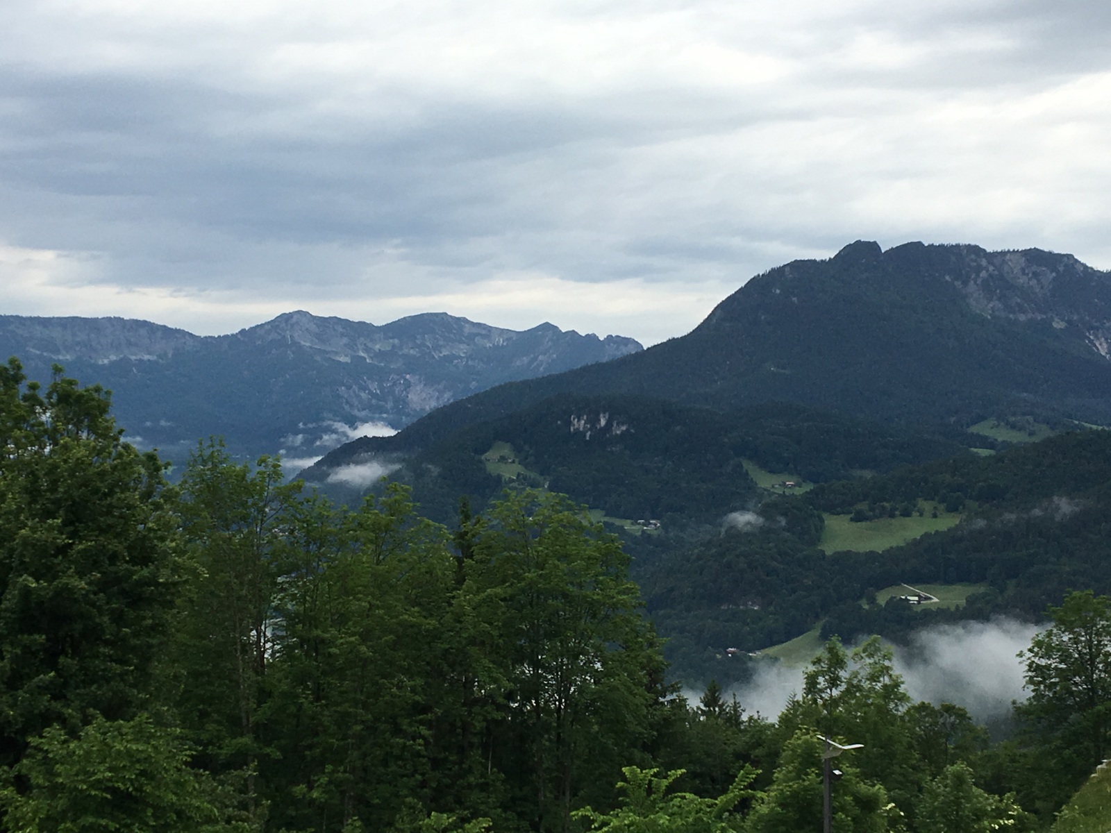 Rainy view along the Konigsee reminescent of New Zealand's Doubtful Sound. 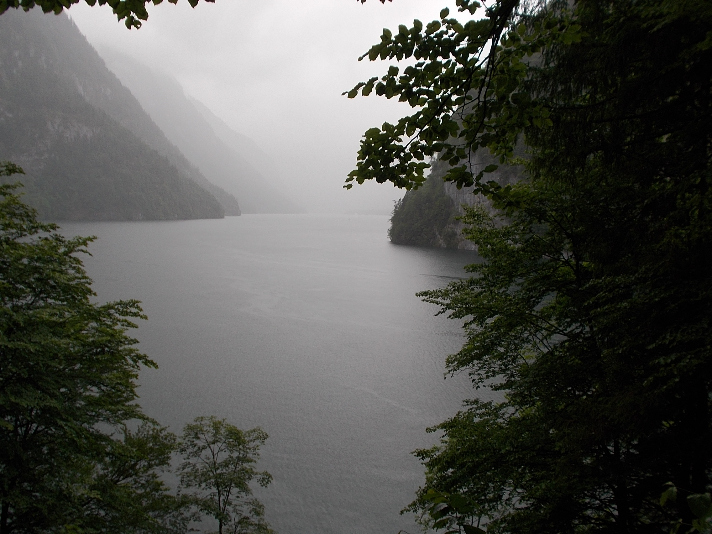 View from a Berchtesgaden parking lot. 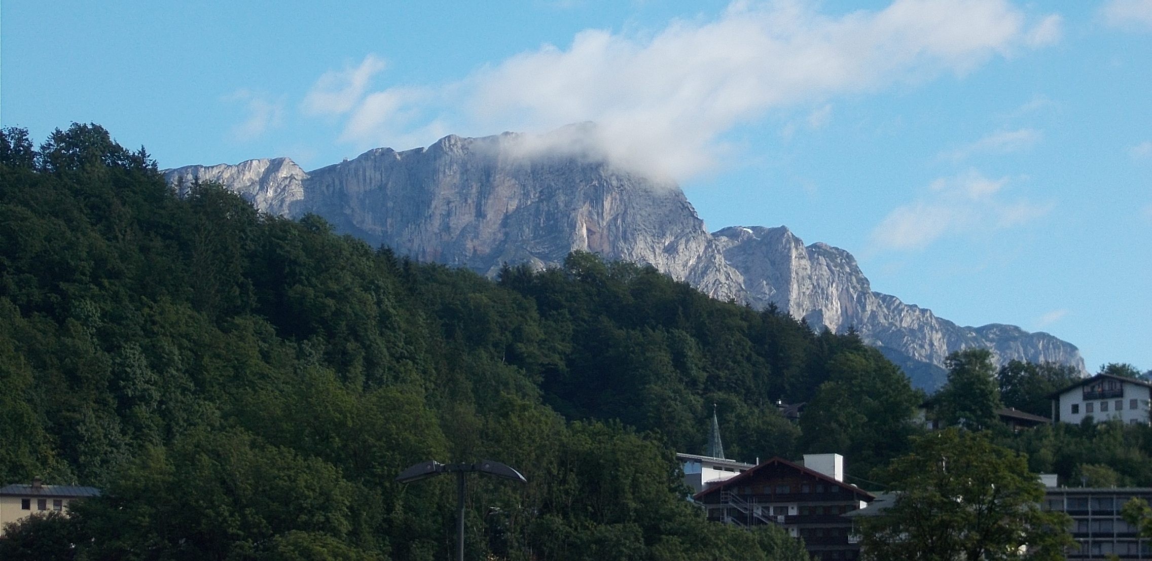 Bike path along the Berchtesgadener Ache.  Path side cascade. 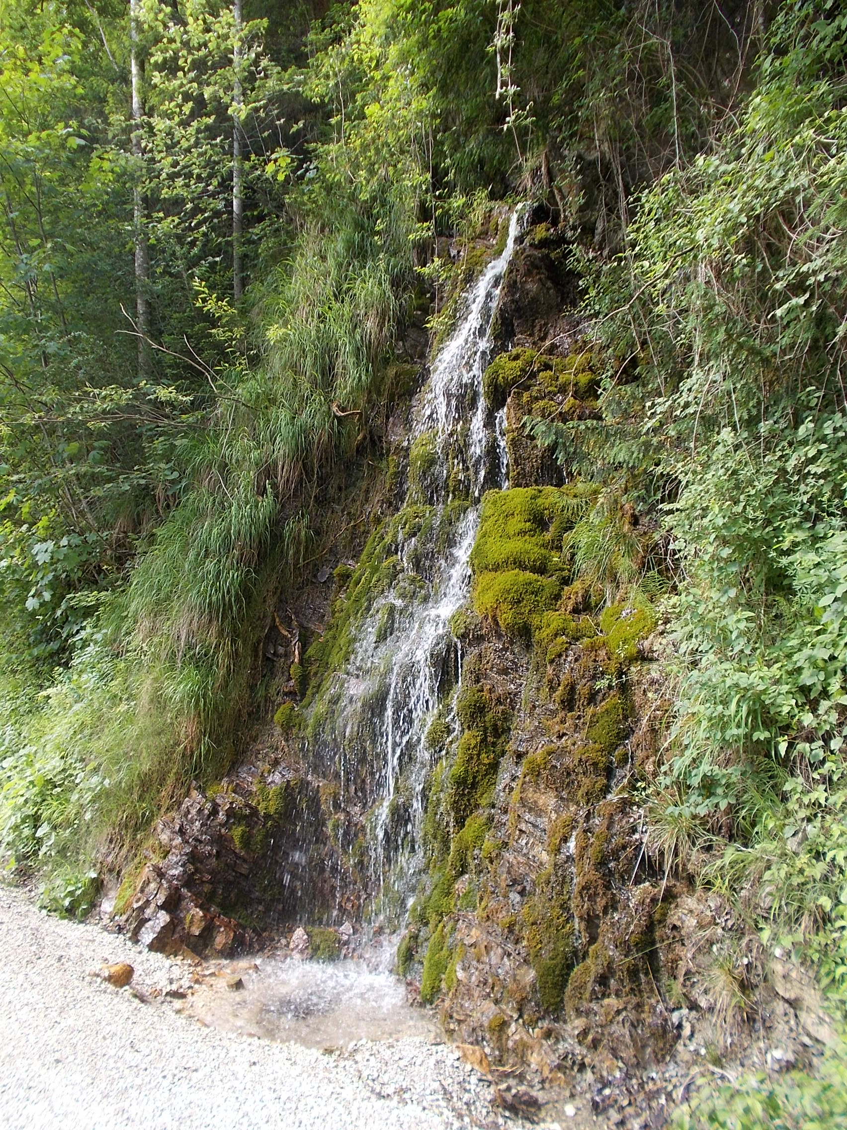 Pretty roadside stream where I snacked on ripe cherries. 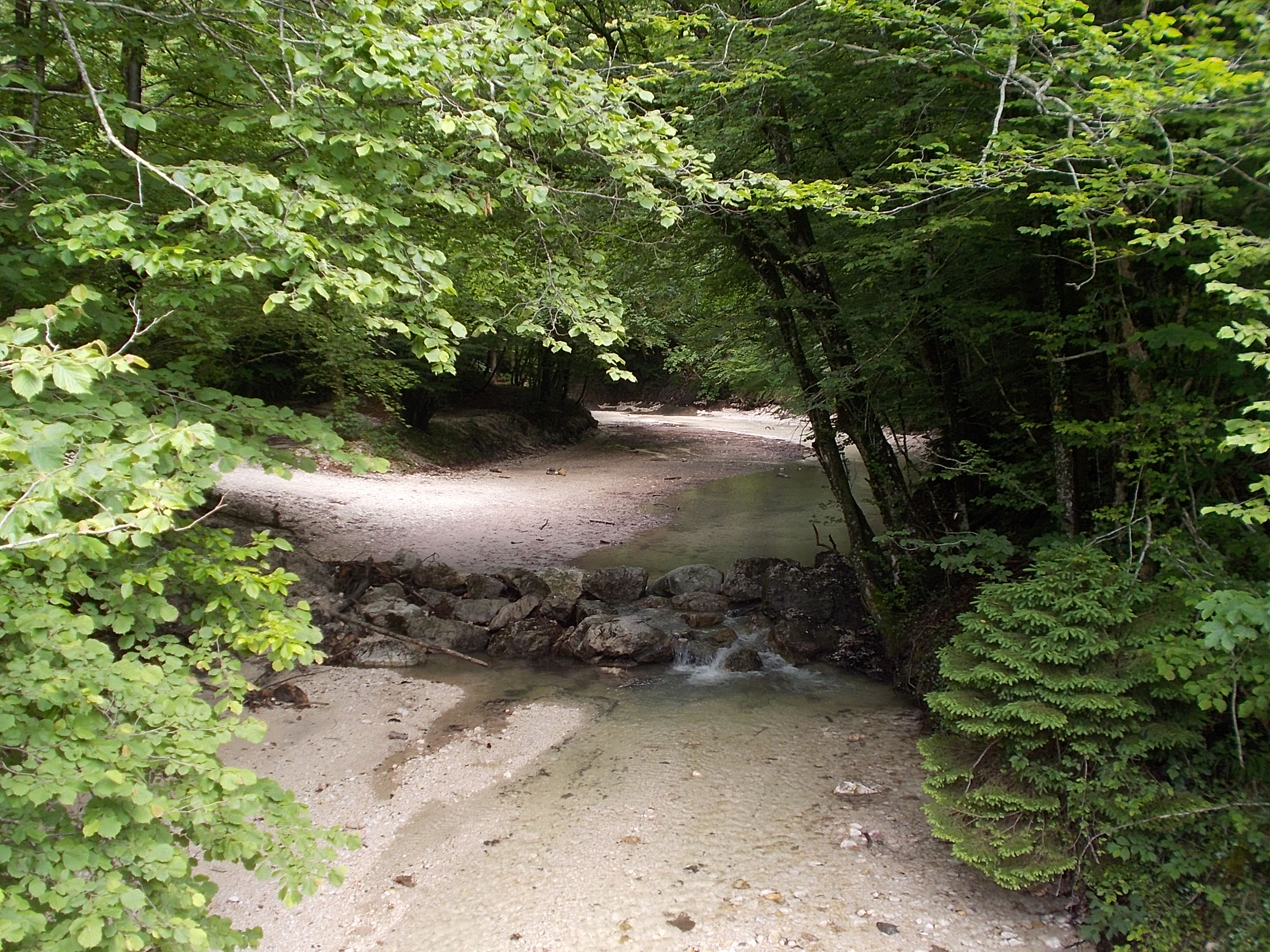 A field of red poppies below Hohensalzberg Castle. 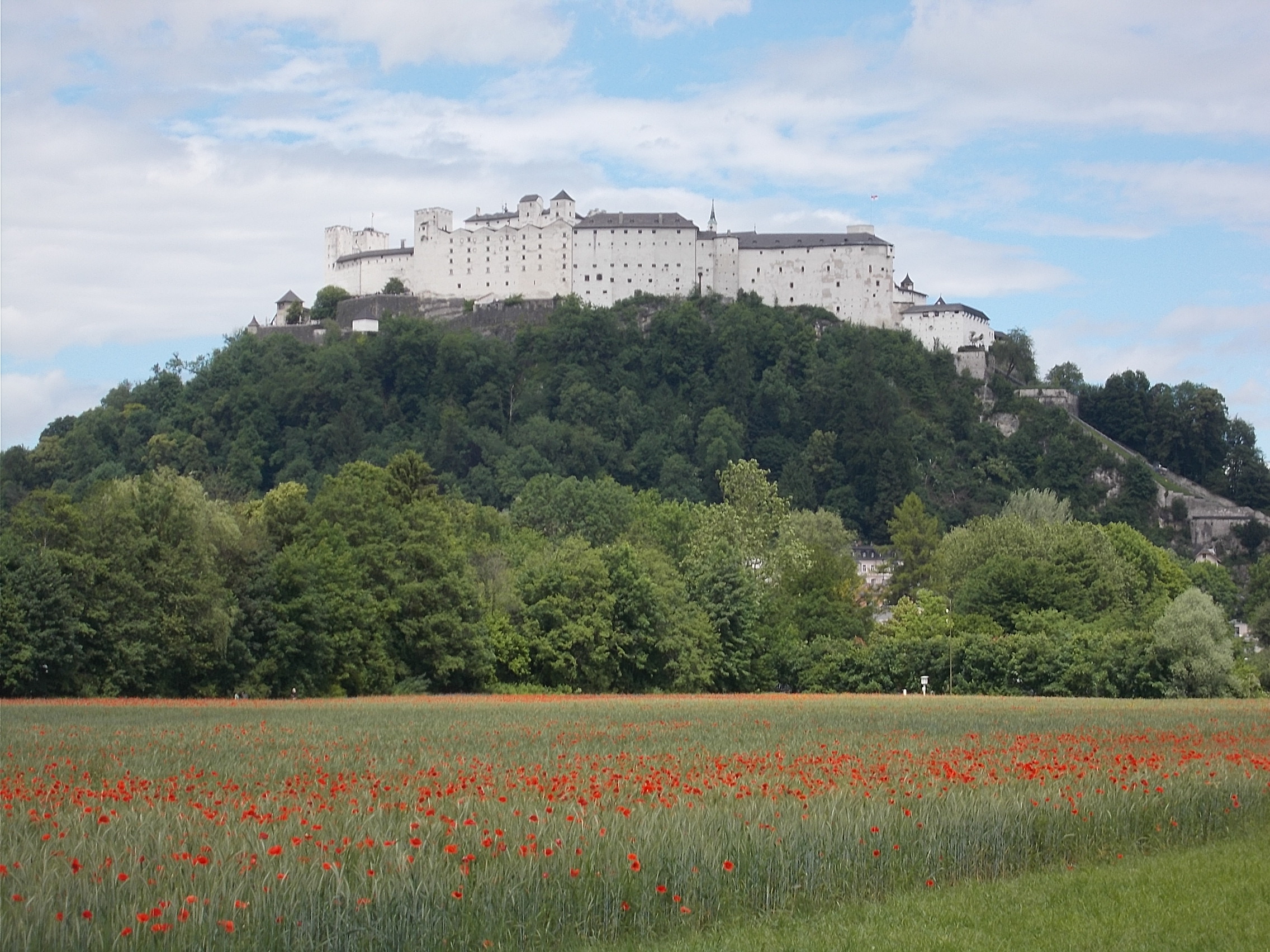 Looking back toward Grodig over the same field of red poppies. 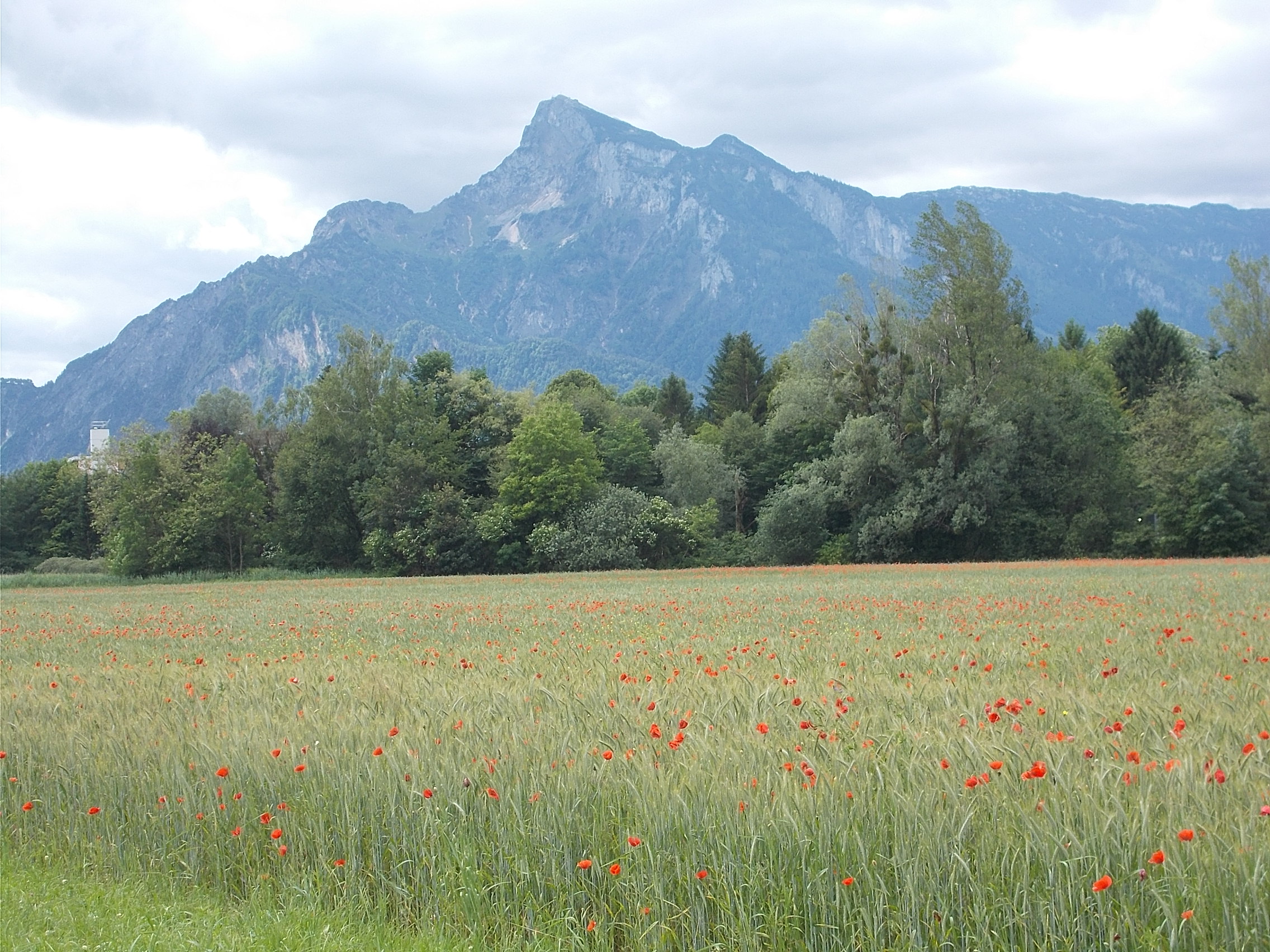 The layers of Salzberg. 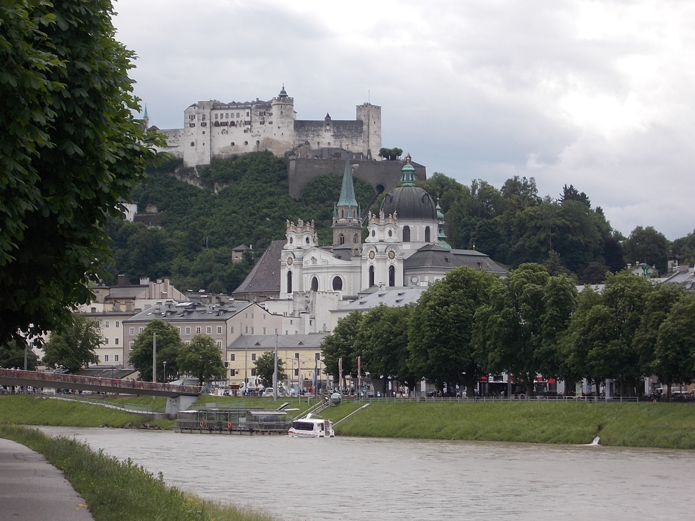 The Salzach River is lined with forest. Sometimes the path went through the trees. I saw many of these huts on stilts. The best I could figure is they were used by hunters. They were always deserted when I rode by them.  The bike path along the Salzach River. 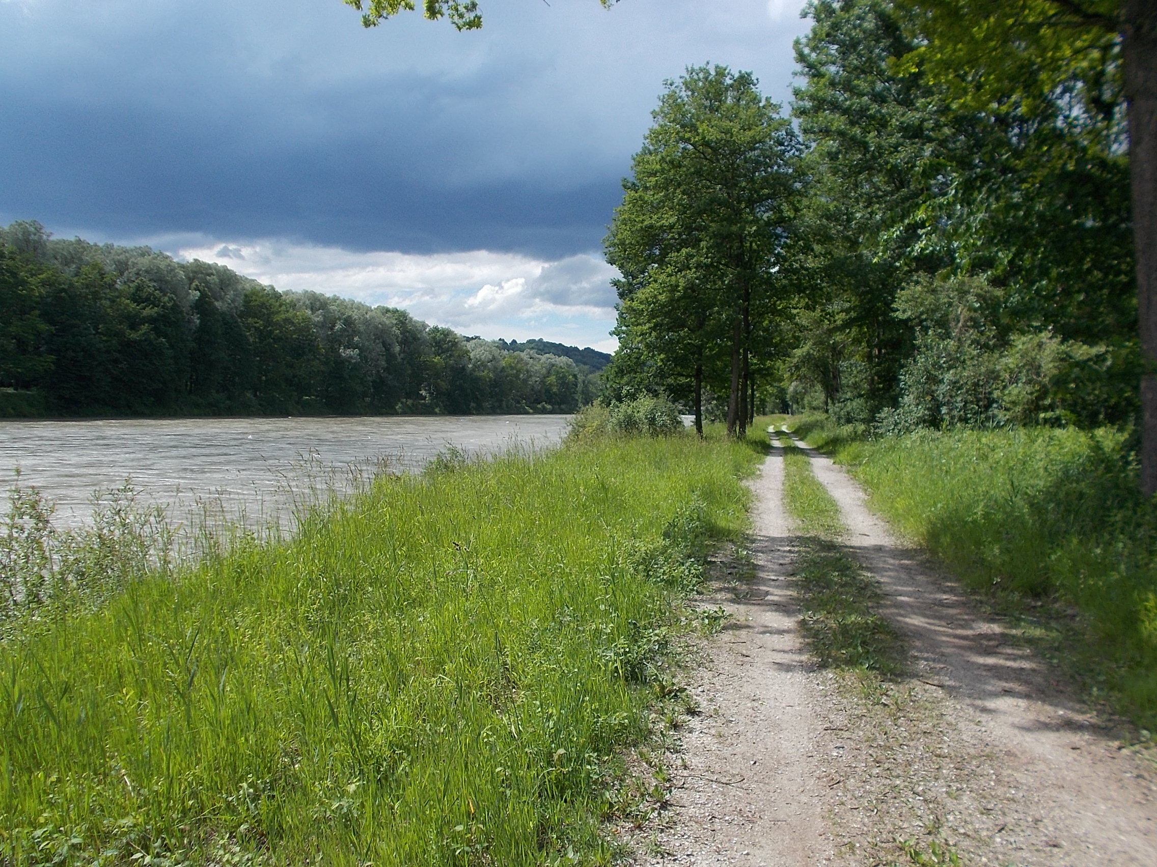 Stunningly modern house in the countryside near Burghausen. 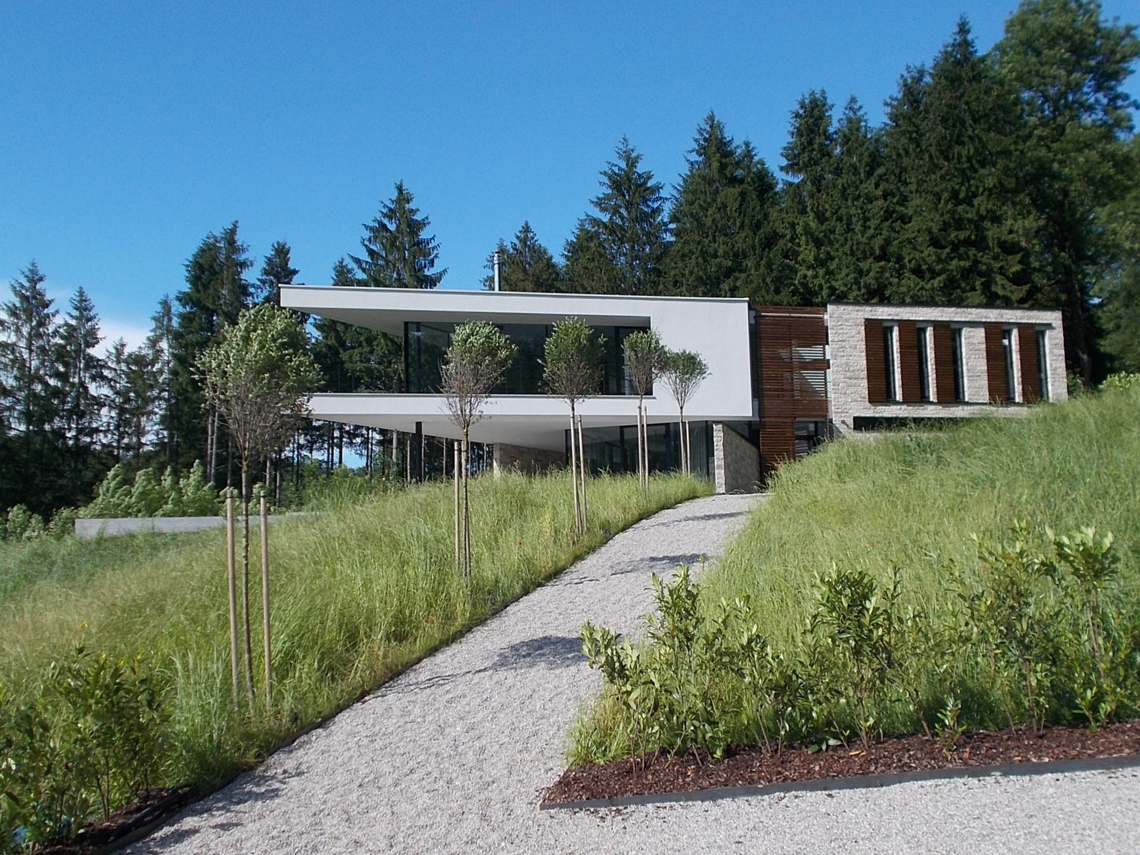 More traditional house near Burghausen. 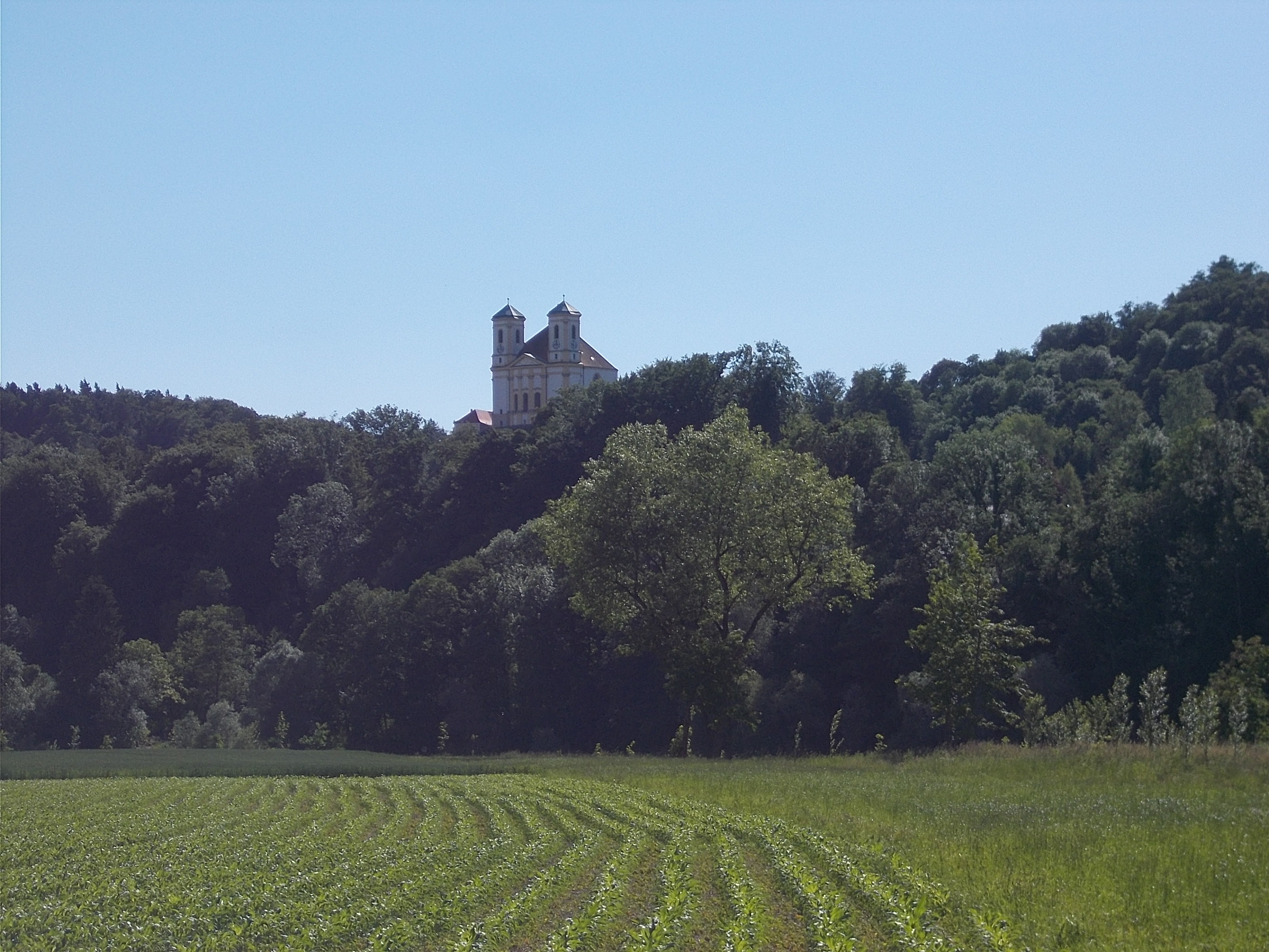 Castle atop Burghausen. 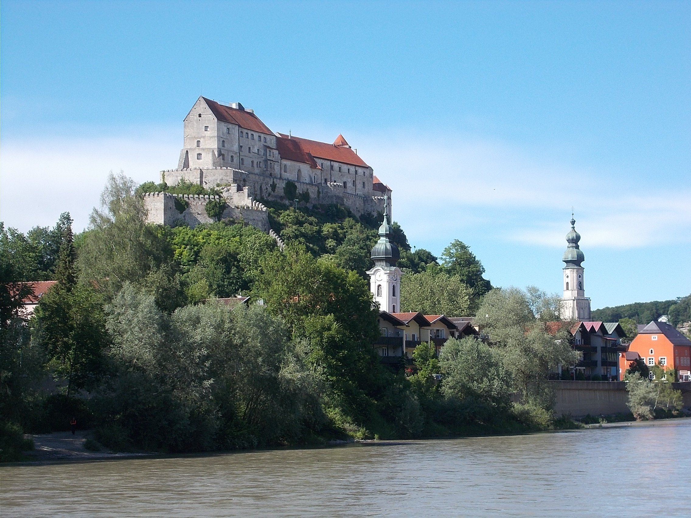 Late day view over the Salzach River from Burghausen Castle. 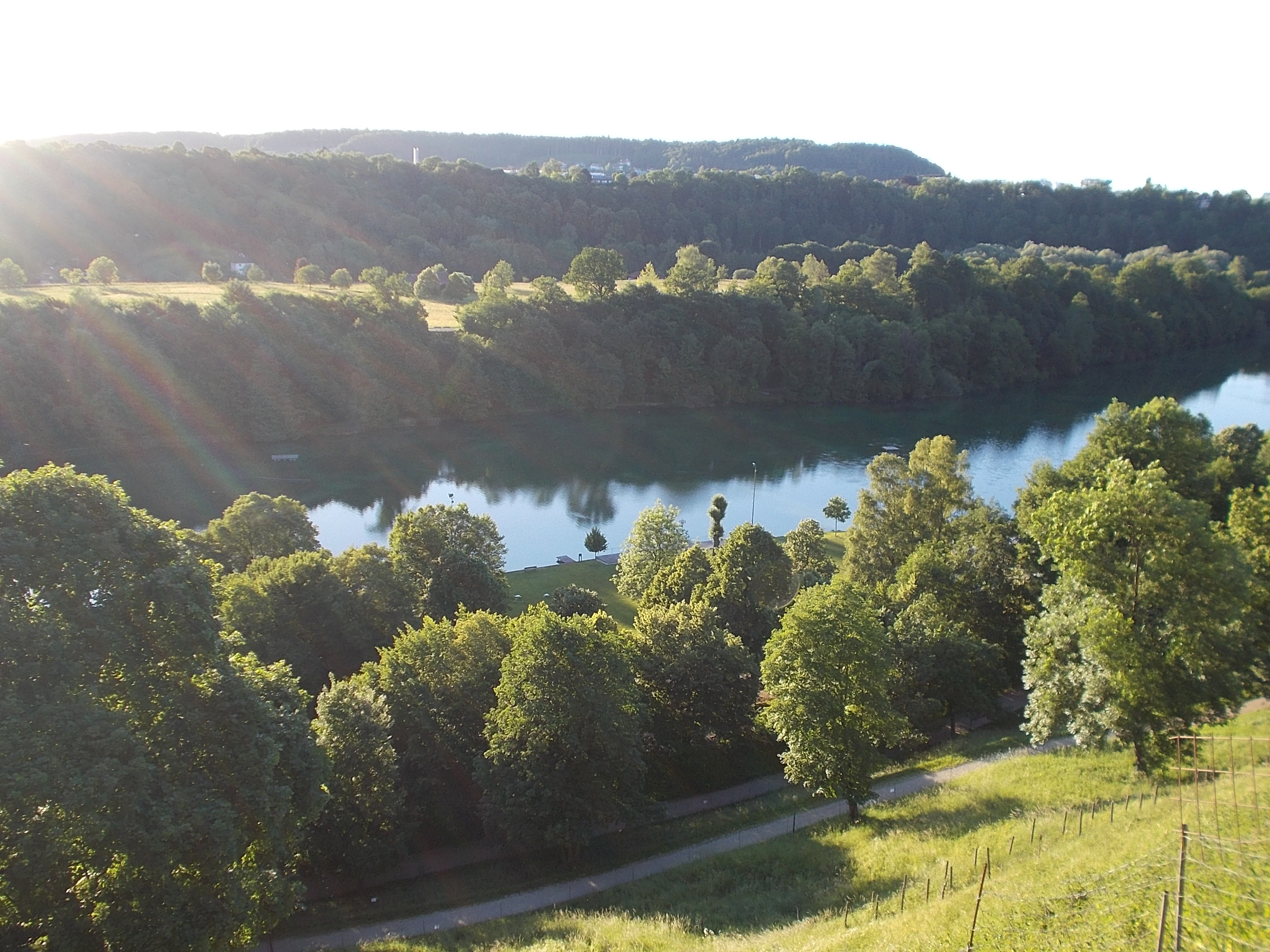 Artsy shot of boats moored along the Inn River near Reichersberg. 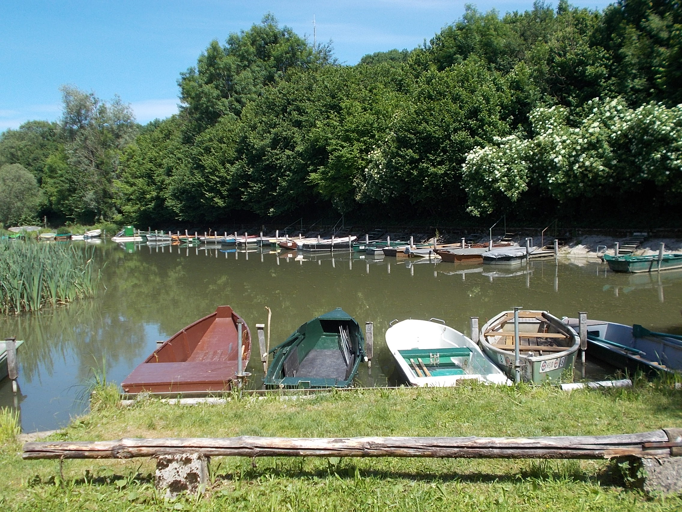 Grand building reflected in the Inn River north of Scharding. 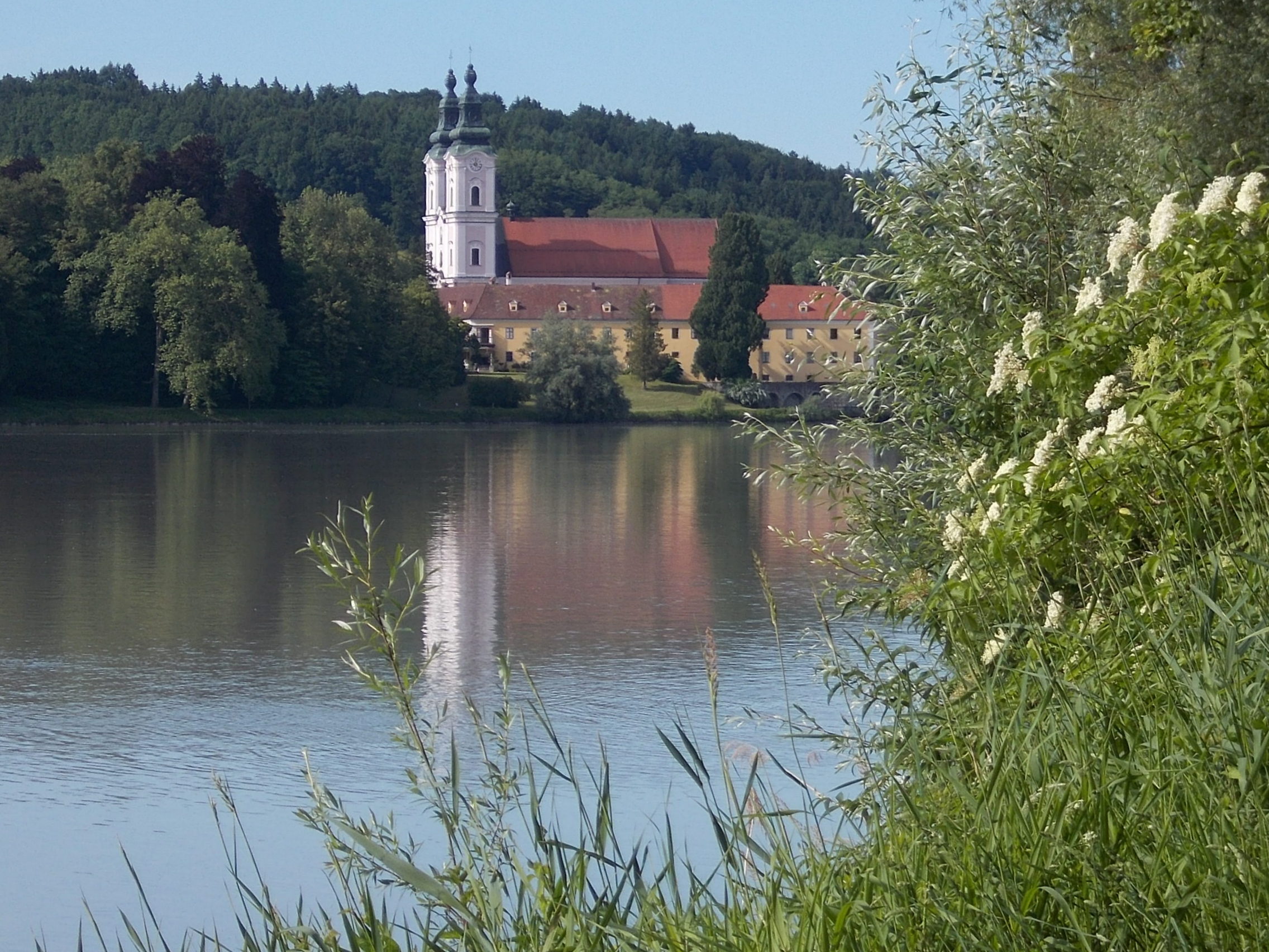 View over Passau, where the Inn River meets the Danube. 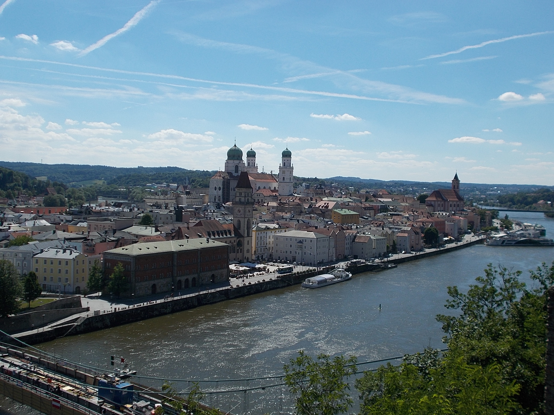 |