|
|
||||
| Date | Starting Place | Ending Place | Author | Last Update |
|
|
||||
| 09-24-10 |
Belfast, Maine, United States |
Waldoboro, Maine, United States |
ray | 11-23-10 17:50:42 |
|
|
||||
|
It started to rain as I was returning from dinner the night before, was raining when I went to bed, and woke up this morning. The weather report was for rain off and on all day. I ate a banana, packed up, and waited for the rain to stop, which it did about 9am. It was a cold, overcast day with a bit of breeze. My motel was on the east side of the Passagassawakeag River, about 2 miles from downtown Belfast. I passed this bit of wetland on my way to the bridge over the river. 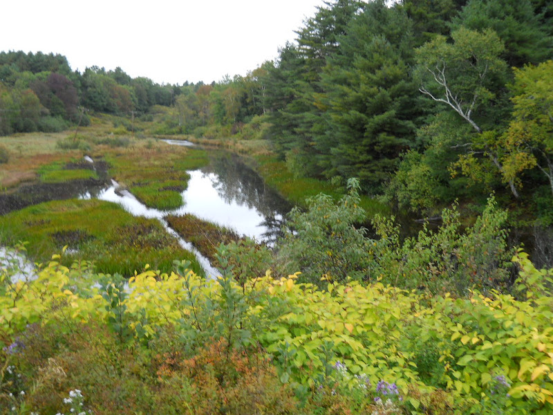 I wanted to find a cafe for breakfast but I wasn't interested in anything offered on the menu of the first place I saw. On my way through Belfast, 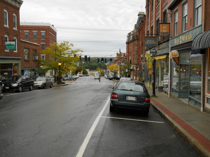 I came upon the Grocery Co-op and went in. I had a bagel and a smoothie and ordered a tempeh bacon sandwich for lunch, along with a couple bananas and some cookies. This hit the spot and, after eating, rode out of town. Out near Highway 1, which skirts Belfast, I saw this pretty stand of trees behind a fire station. 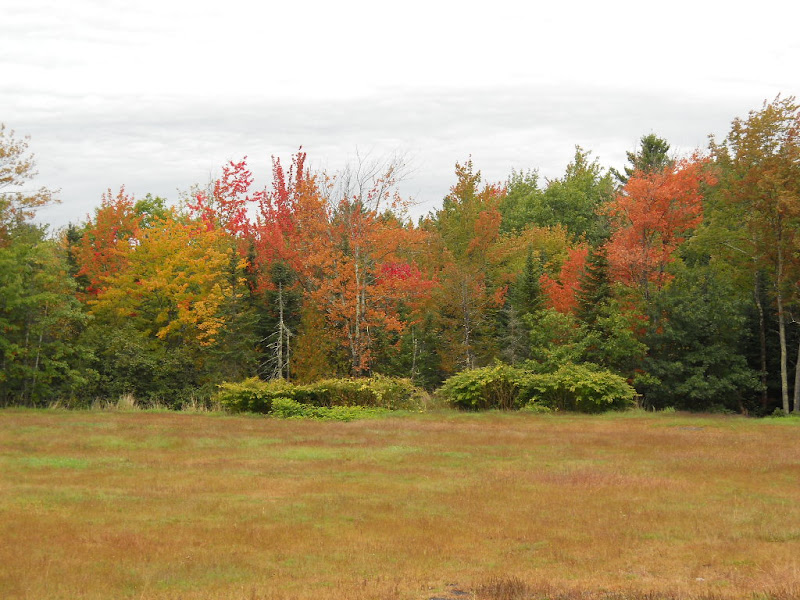 I had some trouble finding SR 52 from downtown Belfast. But, once I was on it, the riding was pretty good as the traffic was light on the narrow road. The ups and downs were steep and close together. So much so, that I kept my chain in the lowest front ring. I'd grind up and then coast down. Once I got out of Belfast, I mostly rode through woodlands and the occasional house. Most of the trees had hints of changing leaves and many were in full plumage. 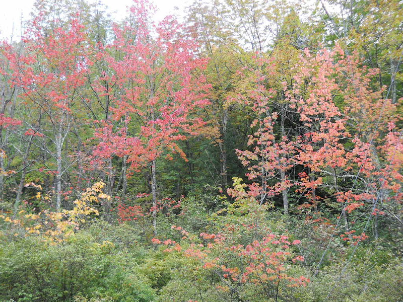 Getting pictures of streams always involved quick decisions as they went under the road at the very bottom of the down slope. I'd have to catch a quick glance as I sped by, decide it was worth a photo and loss of momentum, and then stop. This one was worth it. 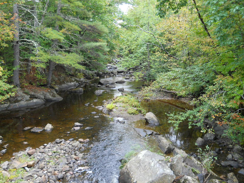 Some more pretty roadside trees. 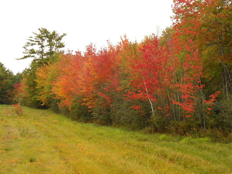 Just north of Lincolnville Center, I got this expansive view when I crested one of the uphills.  I couldn't resist a photo of these trees. 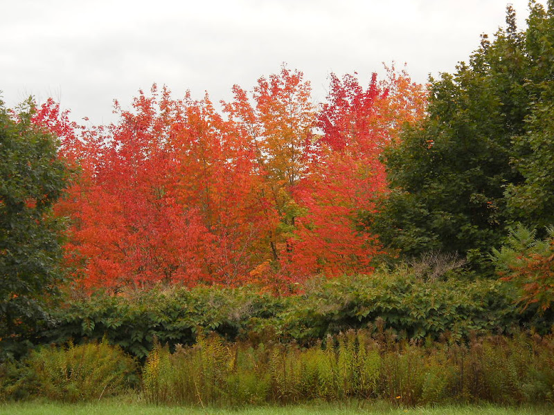 Just south of Lincolnville Center is a large body of water. The smaller northern bulge is called Norton Pond. 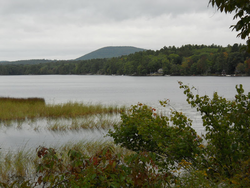 In addition to the main pond, there were lots of wetlands on its edge. 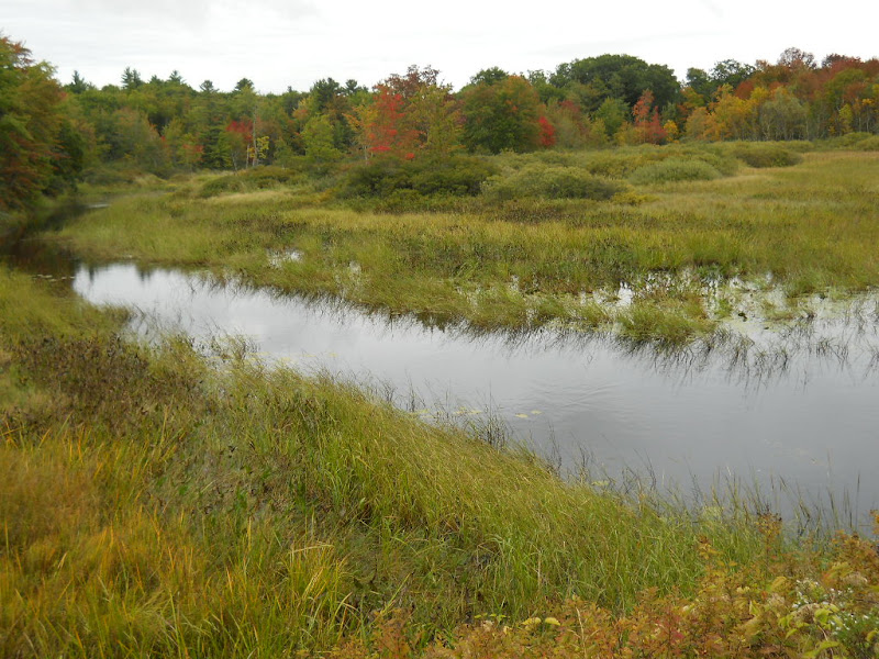 I really like the ducks in this photo. 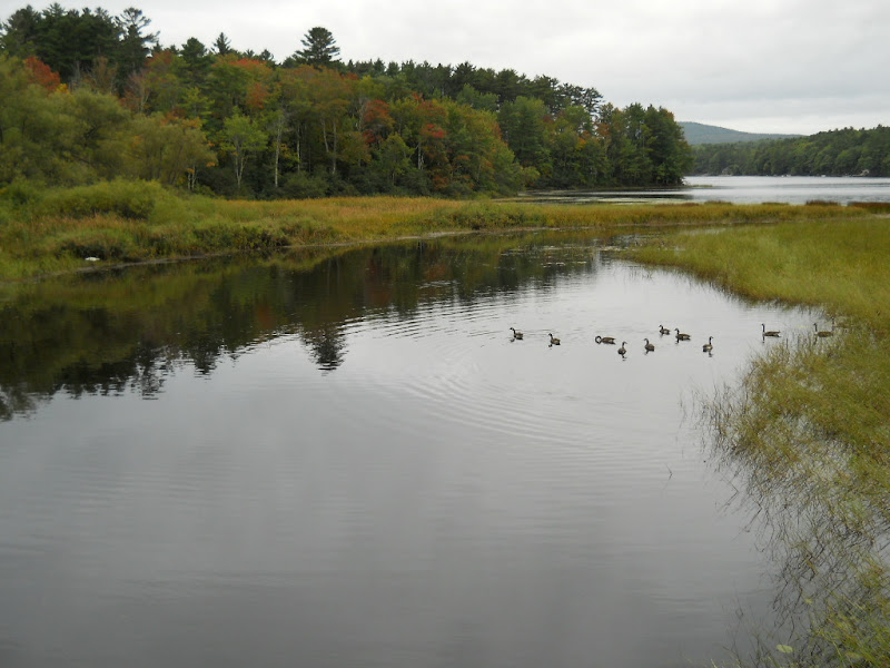 A bit further on is the much larger Meganticook Pond. 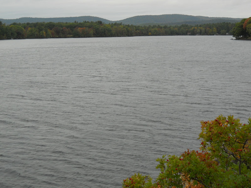 The road followed the eastern bank of this pond for over a mile. 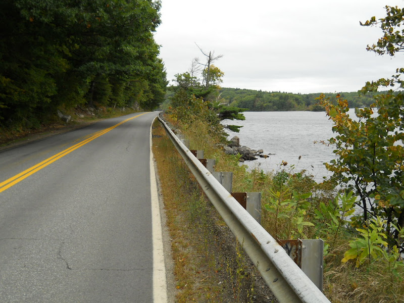 There were several tree covered islands in the pond. This tiny outcropping appeared to have a house on it.  SR 52 dead ends into Highway 1 at the largish town of Camden. 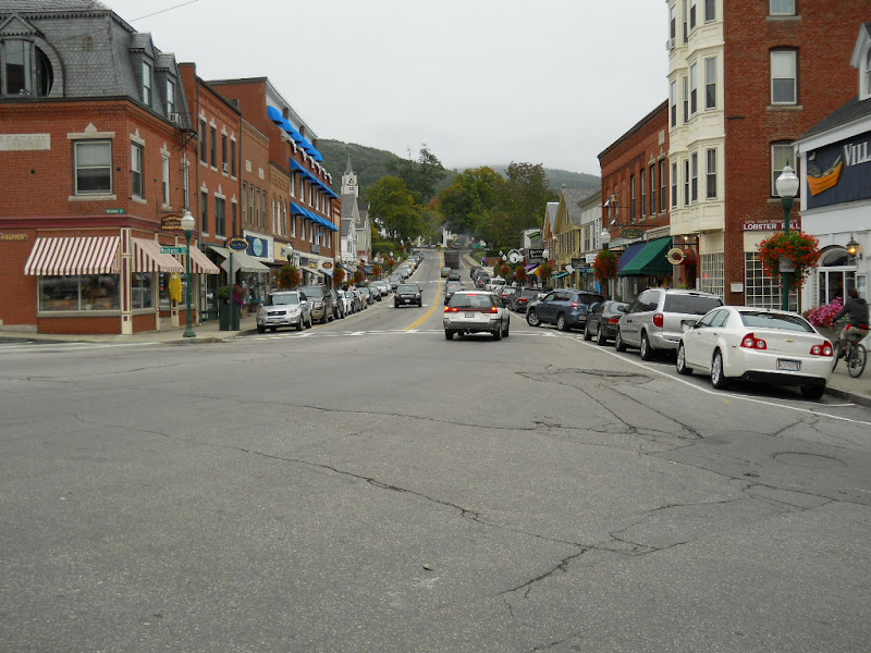 It is a bustling place with a thriving tourist trade. The town's attractive harbor was full of boats. 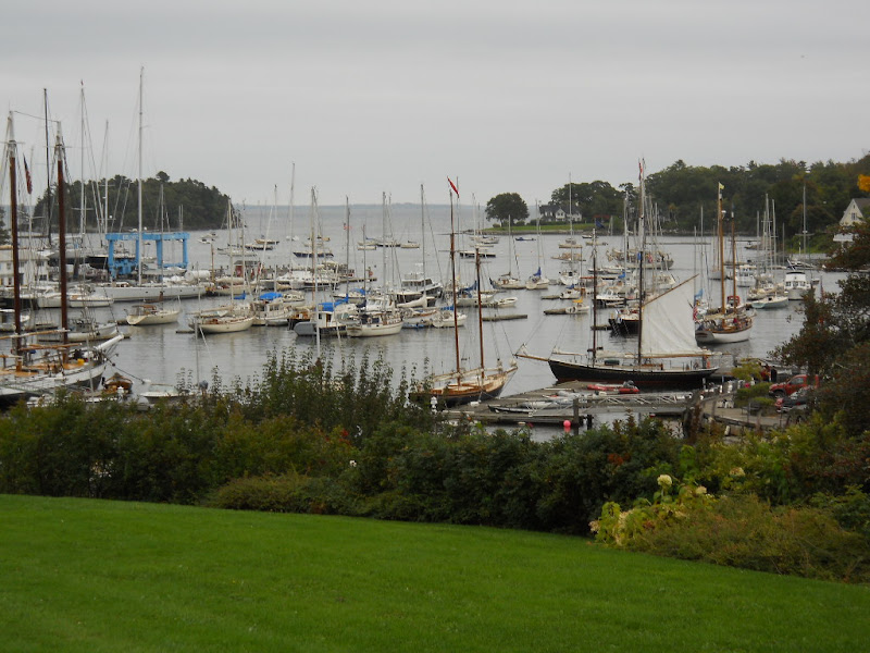 I rode around a bit looking for a place to eat. I stopped at a small Thai place with painted windows and a lunch menu. The owner, a tiny Thai woman, was the hostess, waitress, cook, and cashier. She told me that soon the snow would come and there would be no business so she was working by herself to save as much as she could. This photo (taken while I stood on a bench) shows the window, my lunch, the hottest red peppers I've ever eaten, and my bike. 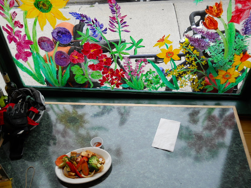 I wanted to get a photo of the owner, but she was too busy to spare me a pose. The ACA Atlantic Coast route takes a residential street out of Camden that ran along the coast. 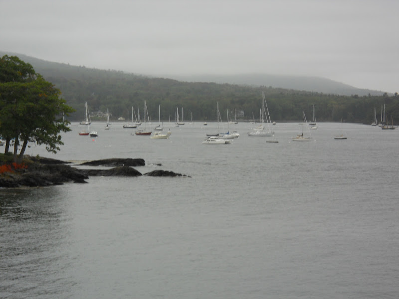 Between two houses was a path to an overlook for the Curtis Lighthouse. 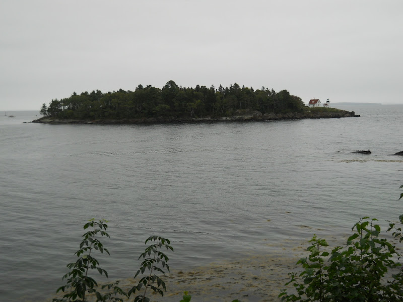 After a mile of Camden outskirts, the route turned inland toward Rockport. I easily climbed through large farms and expensive houses. One of the fields had these odd white stripped cows in them. I'd never see cows like this before. 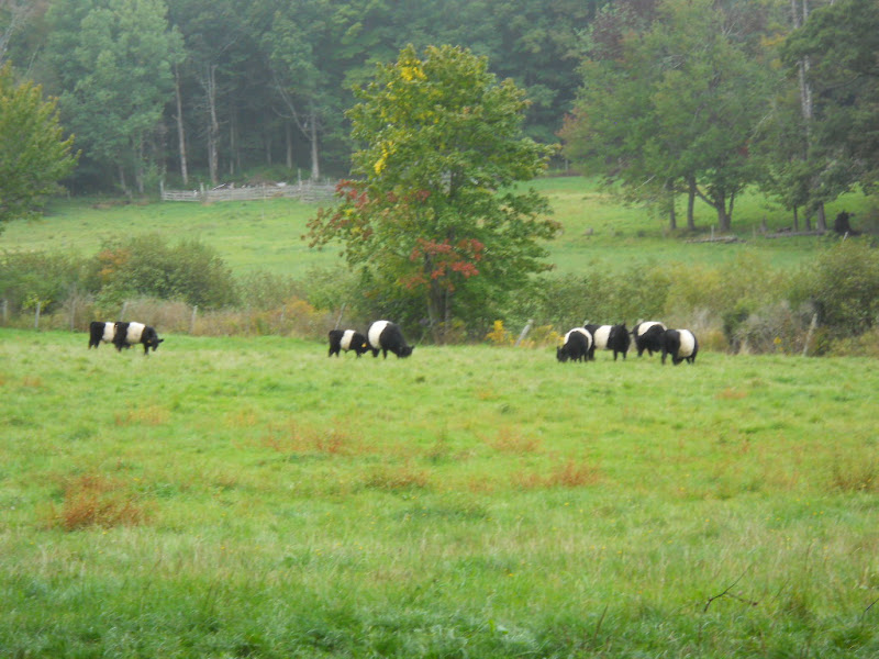 Throughout New England, I saw small, unattended farm stands. Here is one such example. 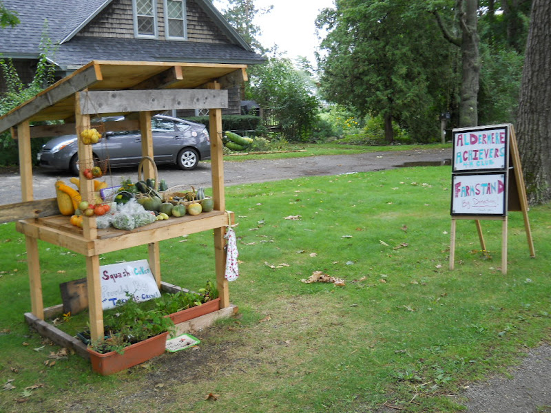 About halfway between Camden and Rockport is Lily Pond, a small bit of water not far from the road. 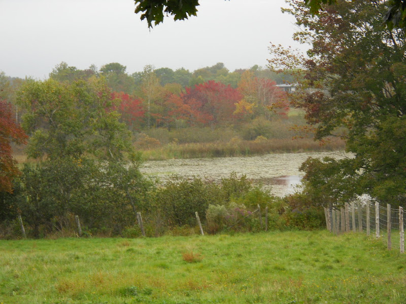 Rockport is a tiny town where I saw no reason to stop. 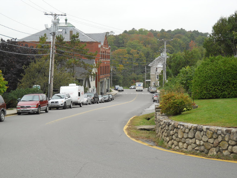 The view of the town's port from above was nice, though. 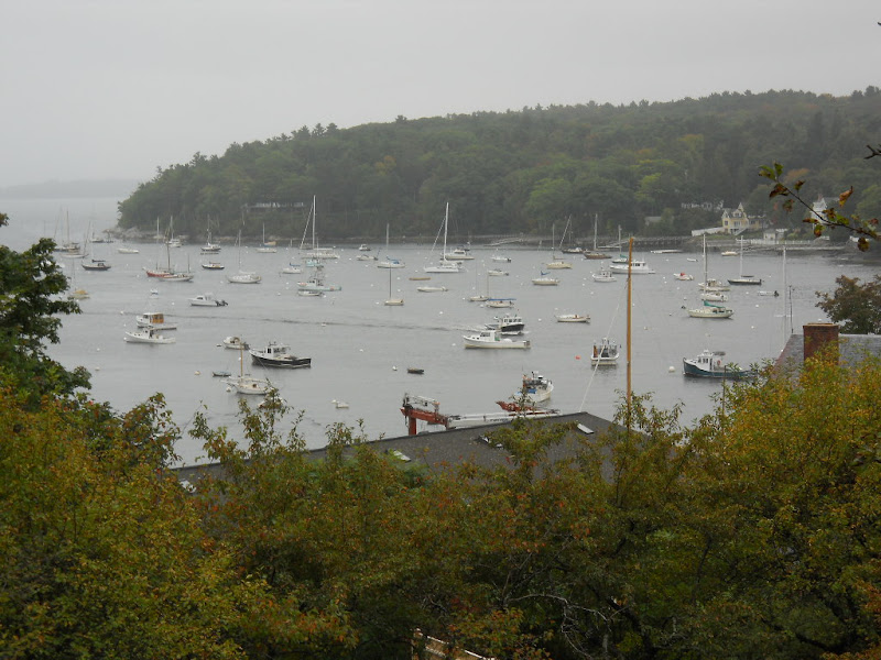 The Goose River drains into the Gulf of Maine at Rockport. 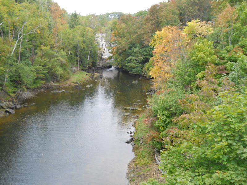 The route was on Hwy 1 briefly and then turned east on SR 90, which passes right by Tolman Pond. 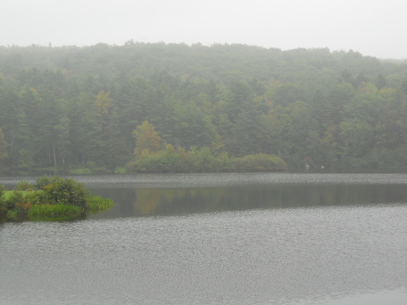 SR 90 was a safe (wide shoulder) but busy highway whose views were businesses and trees. The only other photo I took of this 7 mile stretch of road was this pond in someone's front yard that caught my attention due to both the tiny lighthouse and the colorful tree.  SR 90 dead ends into Highway 1, a major thoroughfare in this area. This pretty little scene was at the intersection. 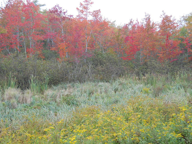 My couchsurfing hosts for the evening were Steve and Cathy. They lived a couple miles up the road from Waldoboro, a town 8 miles west of the intersection of SR 90 and Hwy 1. They lived on SR 220 but I decided to take a side road, as it was getting toward rush hour and I wanted to avoid busy roads. As I rode along Union Rd., I came upon this tree spreading over a rain pond reflecting the tree's changing color. It was a very pretty scene that was hard to capture due to the lack of sunlight.  I missed my turn and ended up riding much farther than I needed to. It wasn't a complete waste as along the way I got some nice photos. This view looking out from the top of a rise shows the heavy clouds that were around the entire day.  This wetland guarded by a phalanx of trees was too picturesque to pass up. 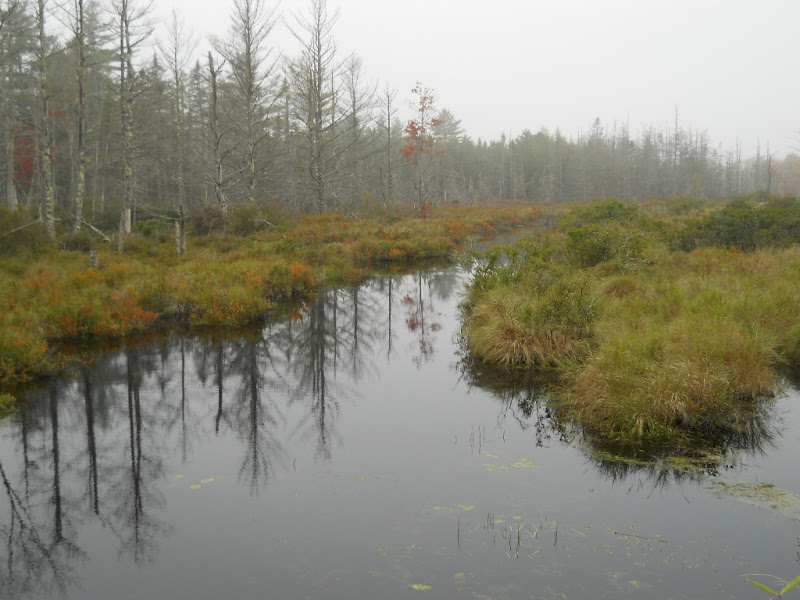 At the last turn of the day, this bit of foliage caught my eye. 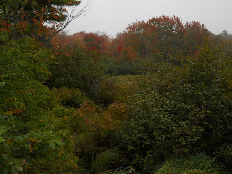 Steve wasn't there when I arrive so I talked with Cathy for about an hour. She showed me around their large garden and we picked a few vegetables for dinner. Steve returned and started making dinner, while we became acquainted. After eating and clearing up, Steve and I talked further. He is running for selectman for Waldoboro and we covered local politics, sailing and running, two of Steve's passions, and his son who committed suicide. I greatly enjoyed their cozy house, the good food, and meaningful conversation. |
||||
|
|
||||