|
|
||||
| Date | Starting Place | Ending Place | Author | Last Update |
|
|
||||
| 05-20-17 |
Stehling, North Rhine-Westphalia, Germany |
Clervoux, Luxembourg |
ray | 08-19-17 21:22:37 |
|
|
||||
|
When I was planning this trip, I asked people about places I should ride and a couple people suggested the Vennbahn. It runs from Aachen, Germany to Troisvierges, Luxembourg and is about 65 miles long. Instead of taken the Vennbahn's 24 miles starting in Aachen, I had plotted my own 50 mile (rainy) route to Stehling. Today, I was looking forward to riding the 40+ Vennbahn miles from Stehling to Troisvierges and beyond. I was down at breakfast when it opened. I ate until I was full and then walked up to the small store for some rolls, cookies and bananas. On the way back, I saw this stately church. 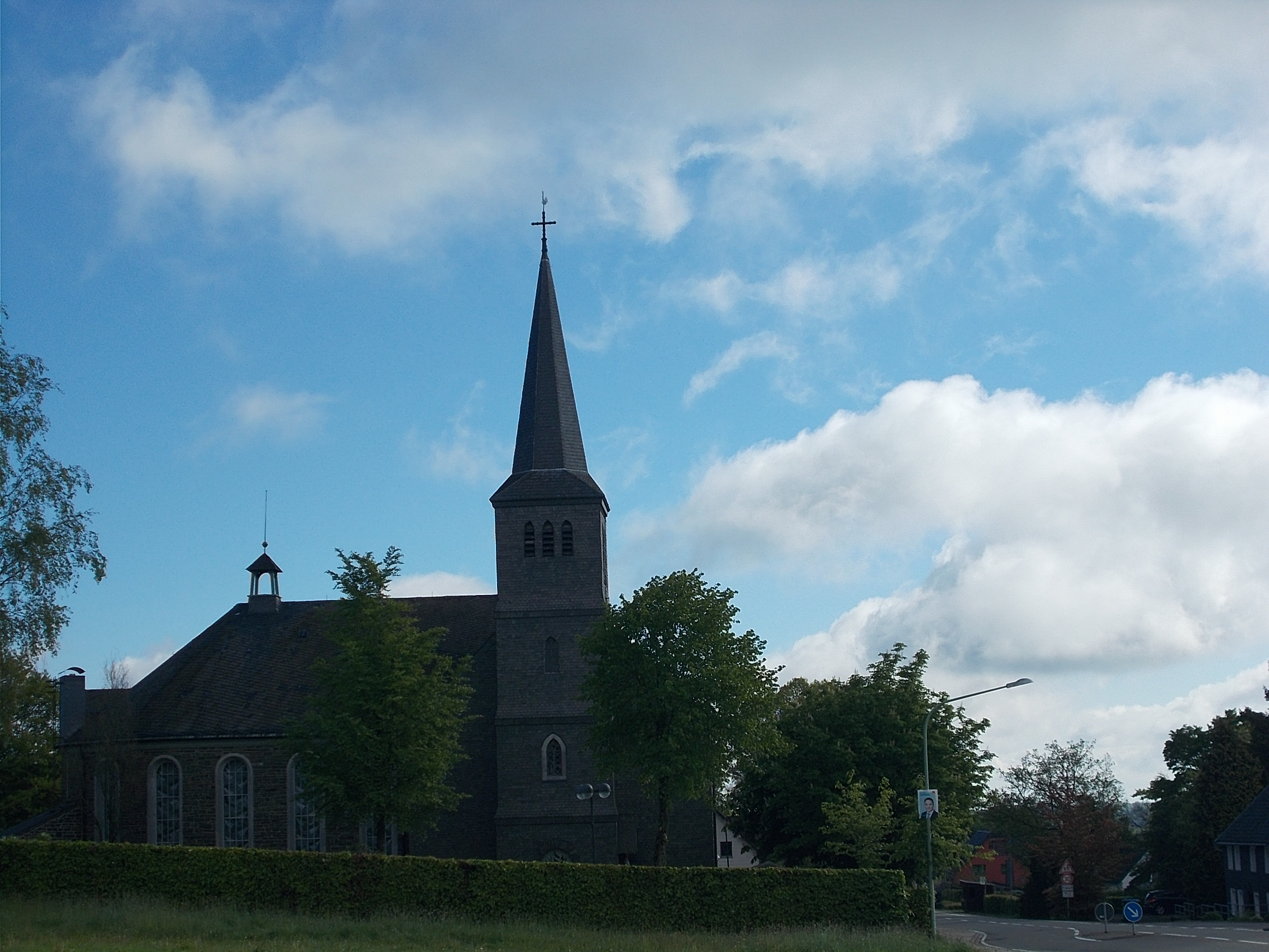 I left when I returned, just before 10am. I coasted the half mile or so down to the Vennbahn path 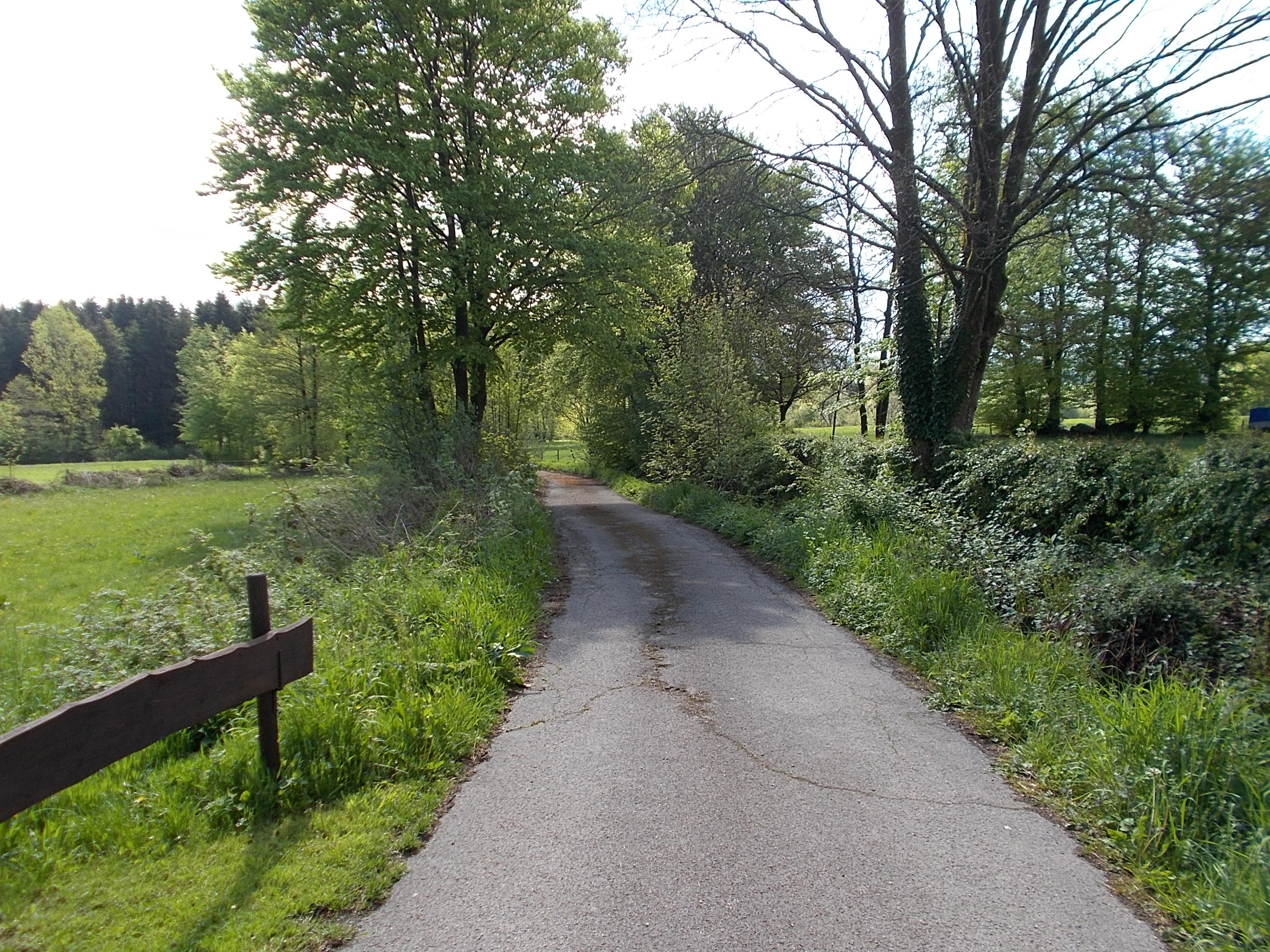 and off I went. Monschau sits in the valley of the Laufenbach River. Stehling is above it and I got this view over the valley top. 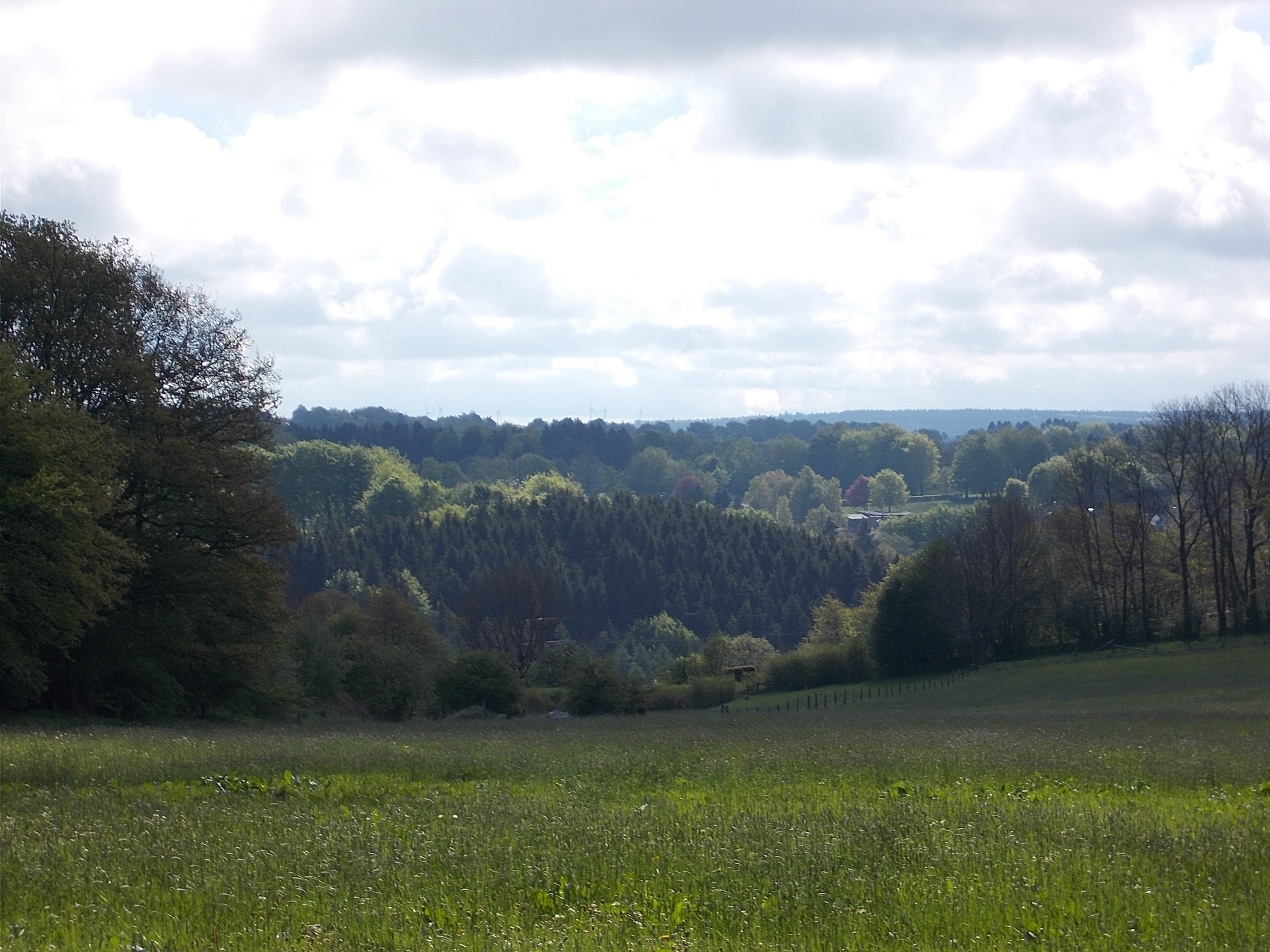 The rail-trail conversion is a very well done path of smooth asphalt with both kilometer markers and the occasionaly information panel. This one about the wool trade in Monschau shows that globalization (such as it was) goes back to, at least, the 1700s! 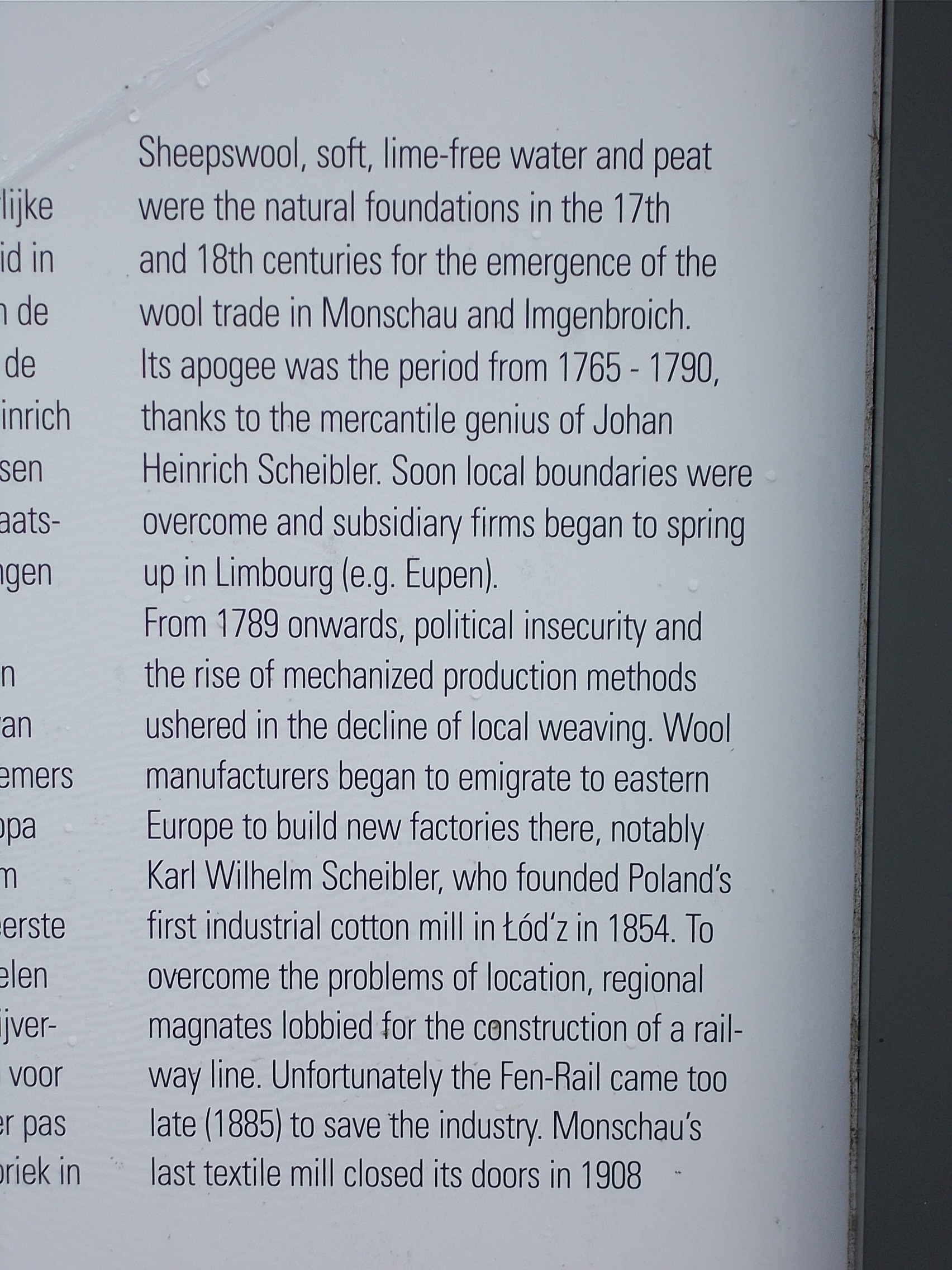 The Vennbahn runs through a lush area of forest-topped fields, 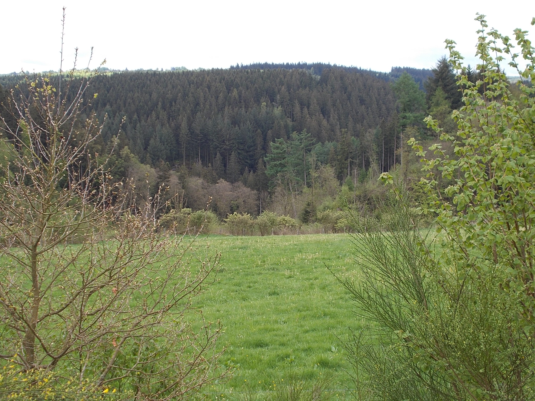 tree-lined ponds, and 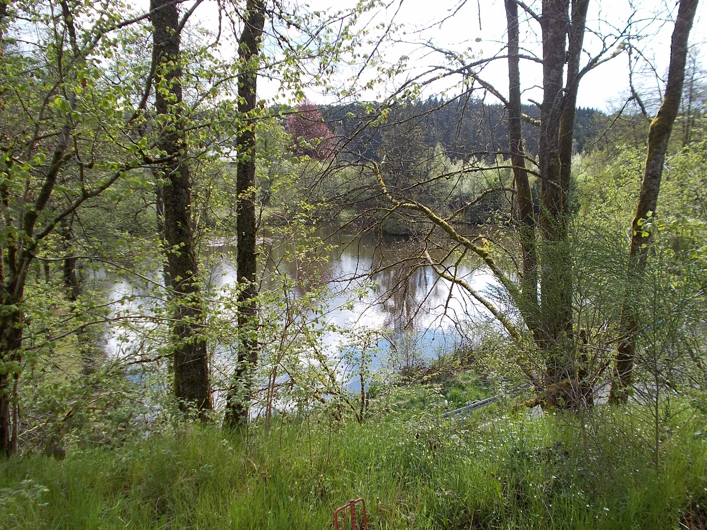 past meandering creeks.  In many areas, the trail was enclosed by multicolored berms. 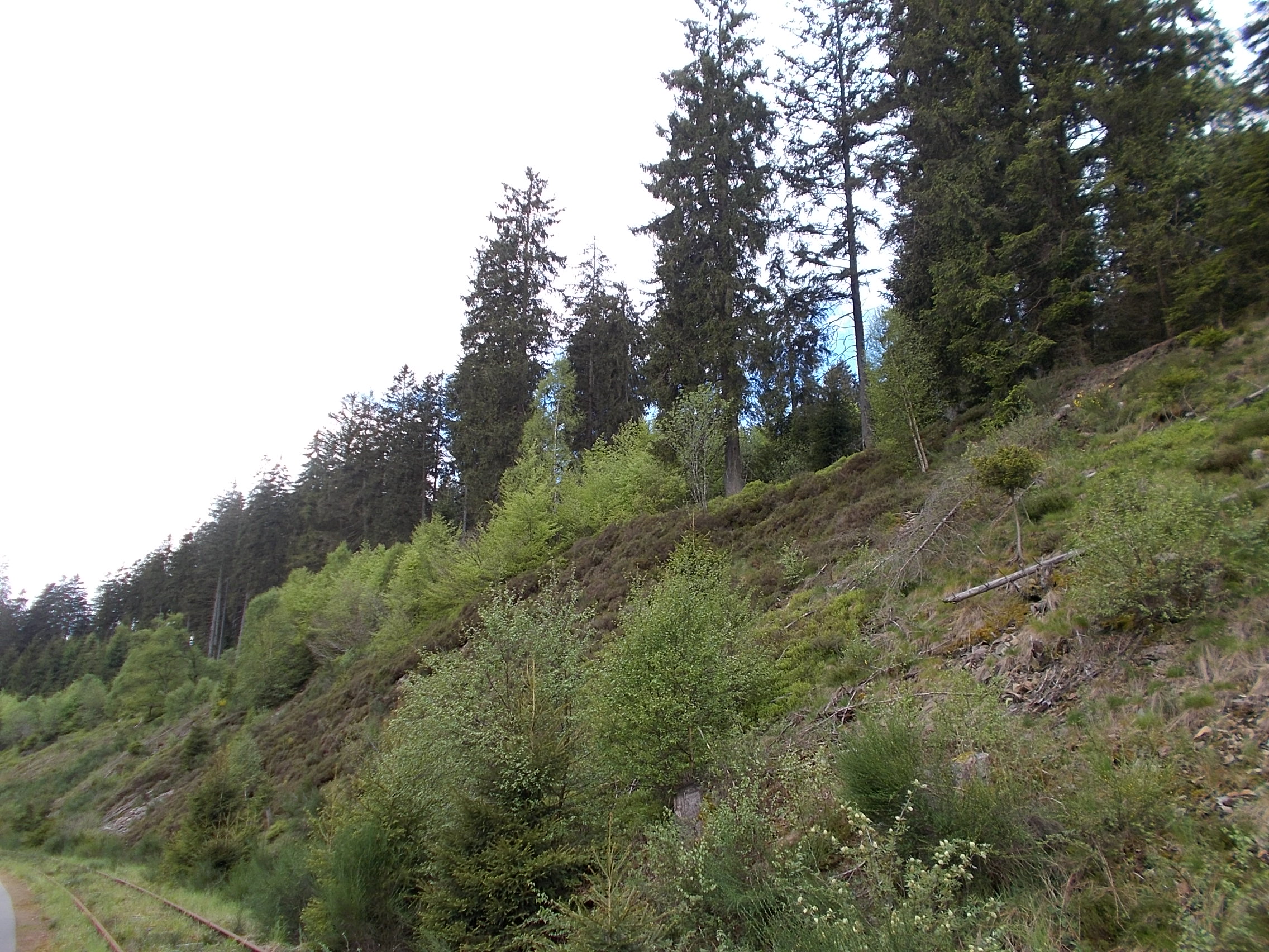 The countryside was well-watered with pretty streams. 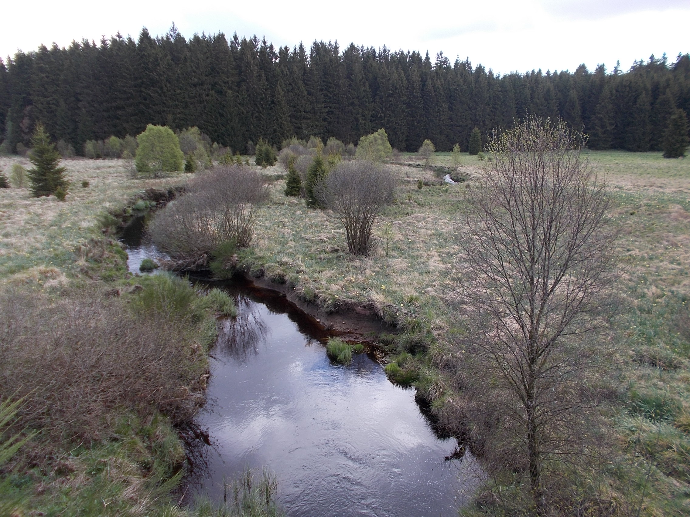 It was hard not to stop and take photos of every one (I came close). In one stretch, I zig-zagged through a series of narrow lanes between pastures. 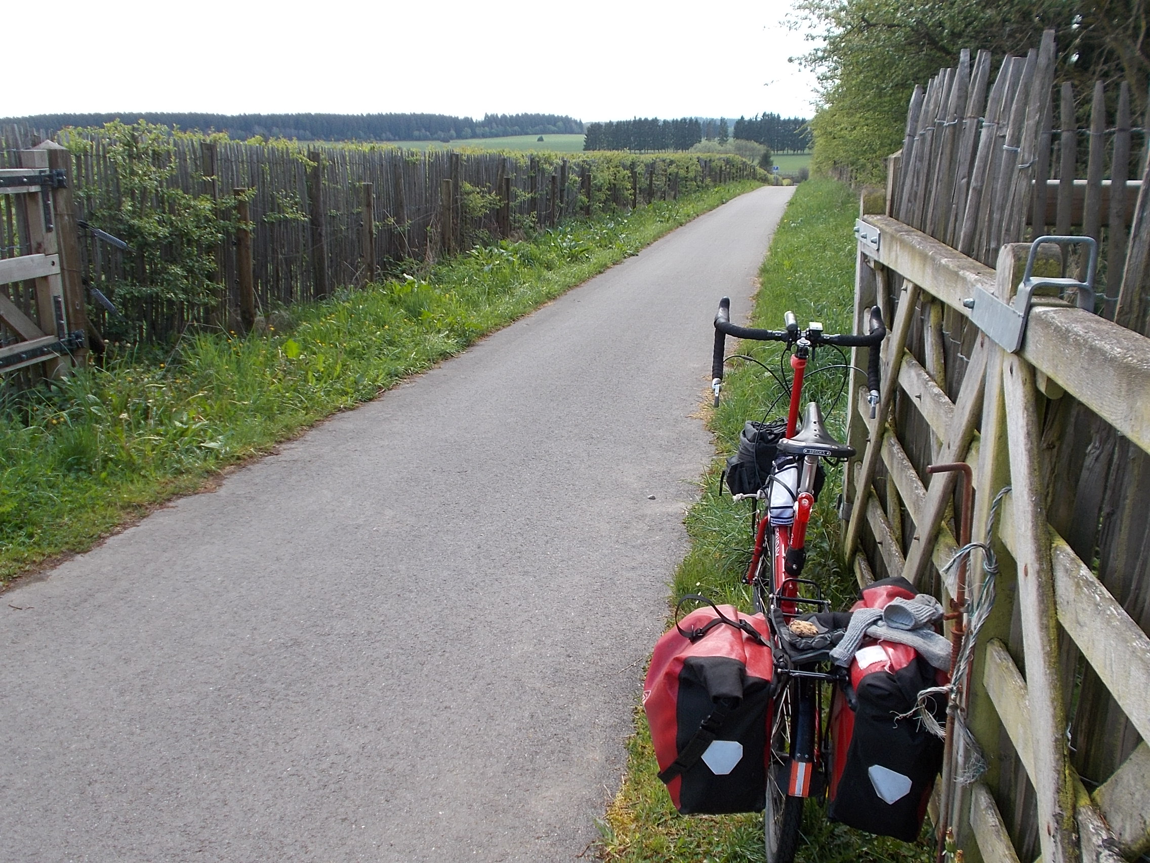 At such stops, I usually ate a chocolate-chip cookie or two. You can see one on my rear rack. In the early part of my ride, I passed several rusting train cars next to picnic areas. 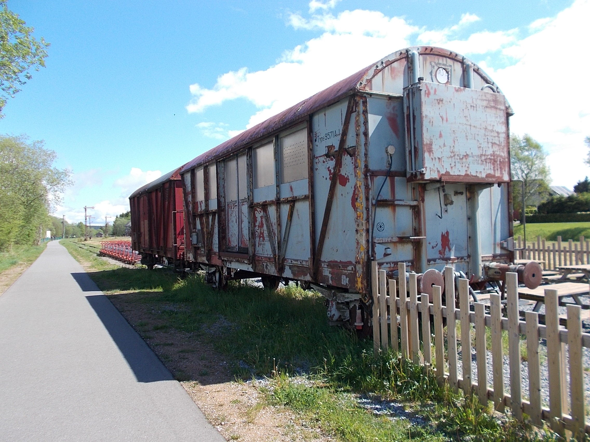 Note in front of the train car there are several carts on rails with a pushbar to propel them. These were for rent and I passed out of breath (and shape) people doing this. It looked like hard work. While most of the time I was riding with only trees, fields, and streams for scenery, I would occasionally see a village in the distance. 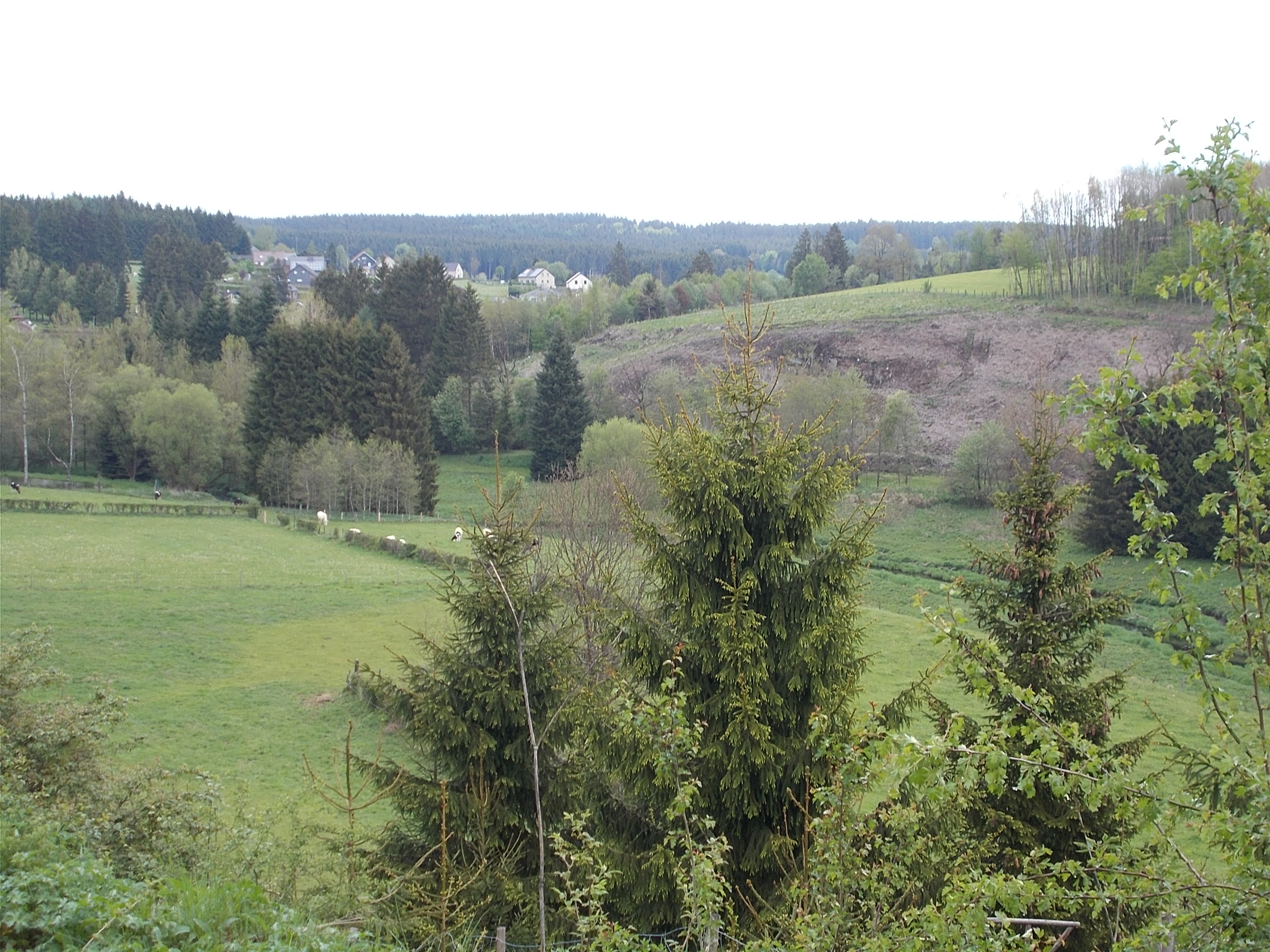 Sometimes, I saw all four at once. 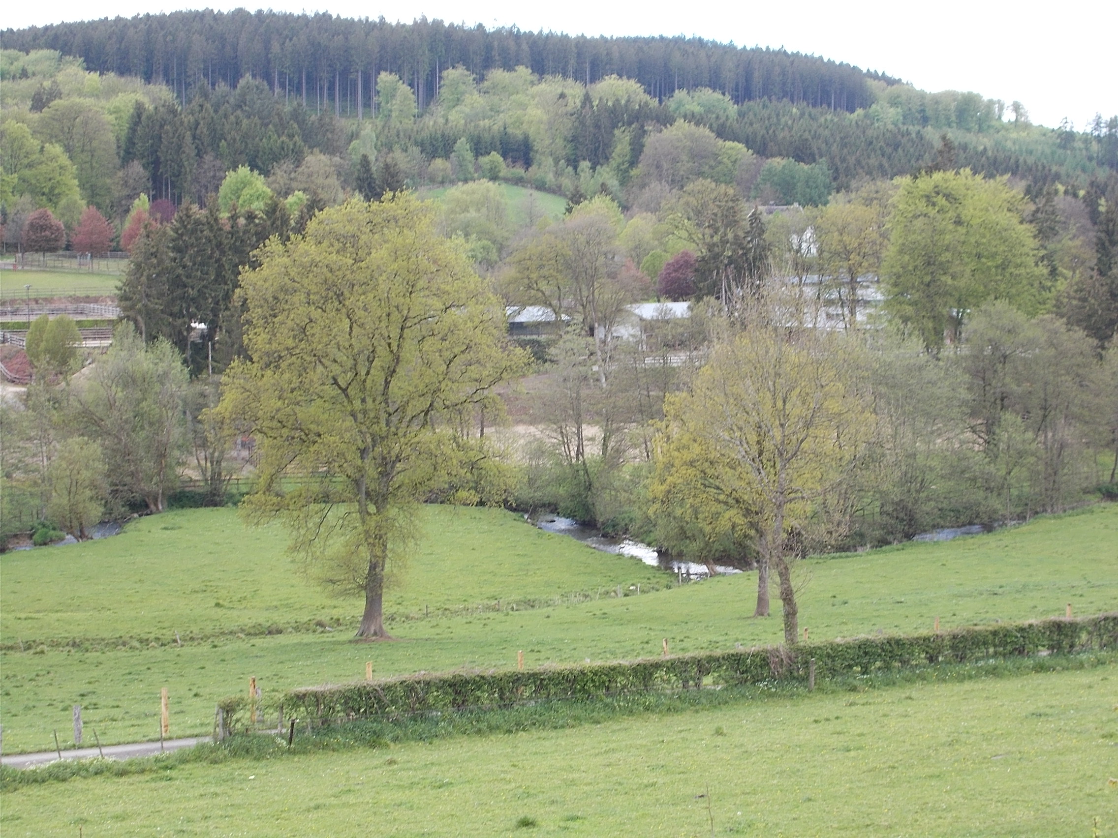 While it looked like it might rain at any minute, there was only a brief spot of rain. 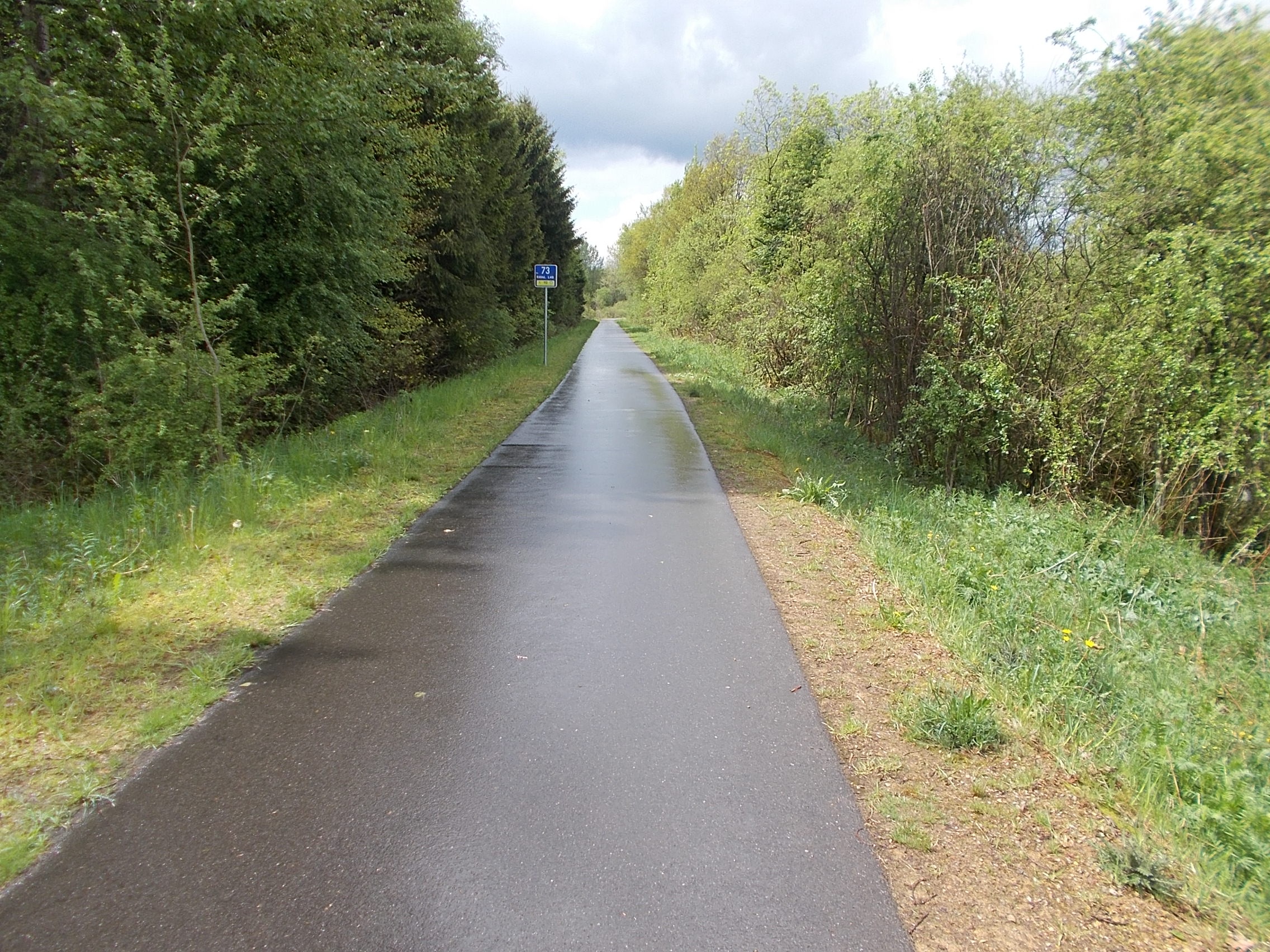 Note the mileage (kilometrage?) sign. I really liked counting them down. For the most part, the path was separate from the local roads. Even when it did cross them, I felt completely safe in doing so. 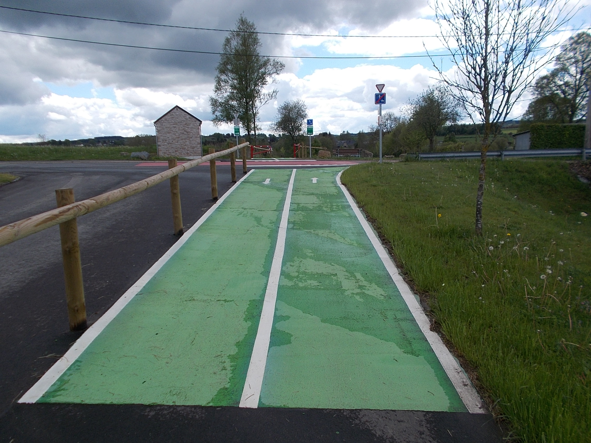 This is the view I had while eating lunch at a conveniently placed picnic table right next to the path. 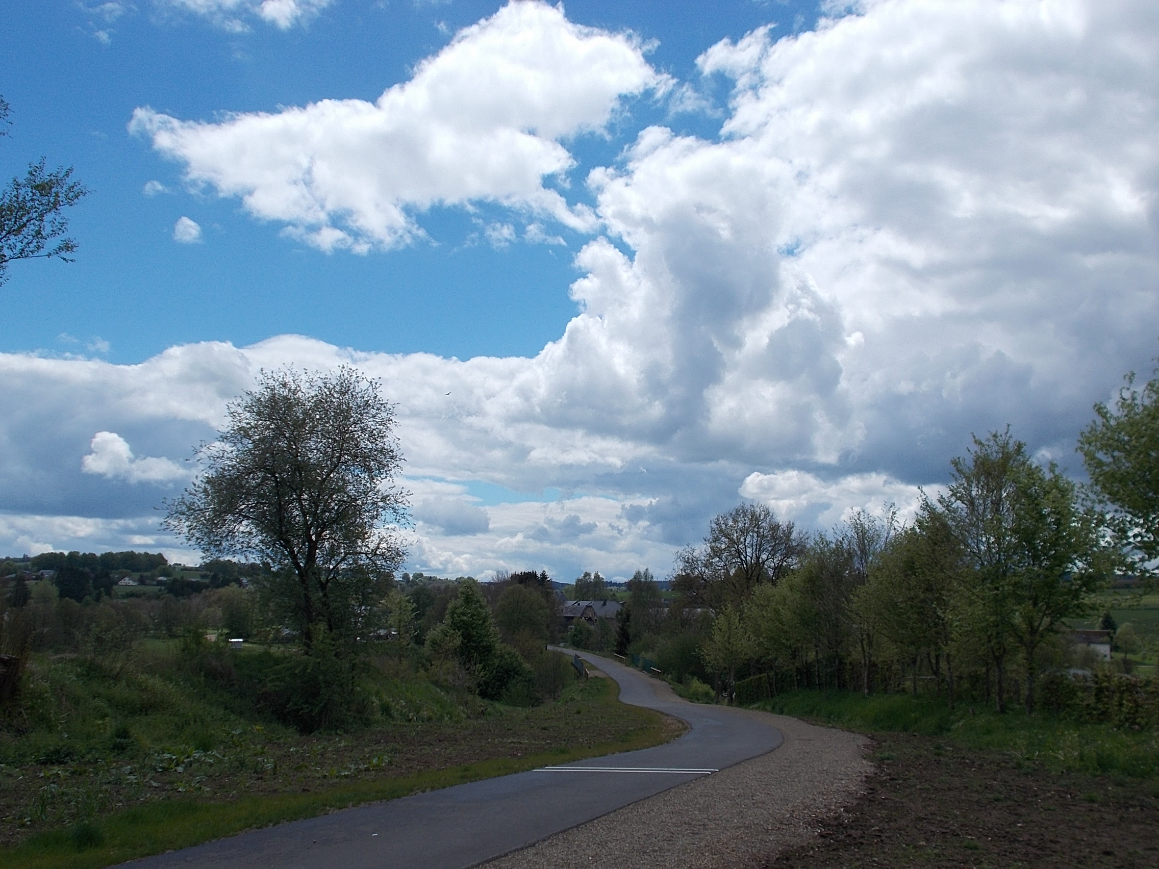 A view like this is hard to resist! 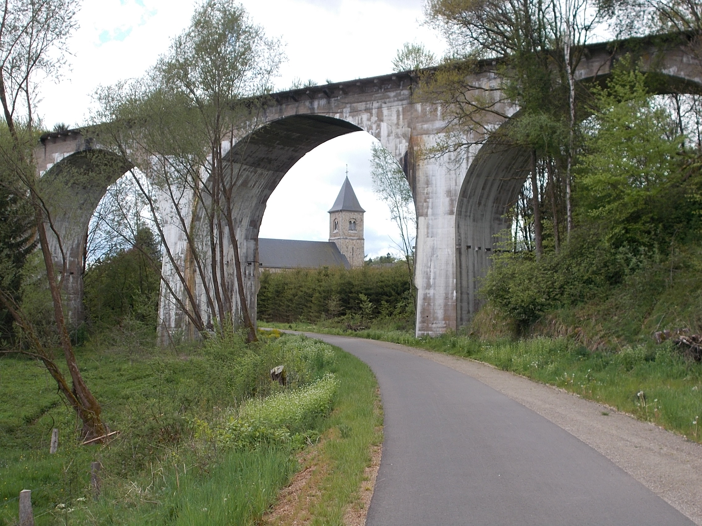 Rapeseed field in full bloom and a good view of a threatening sky. 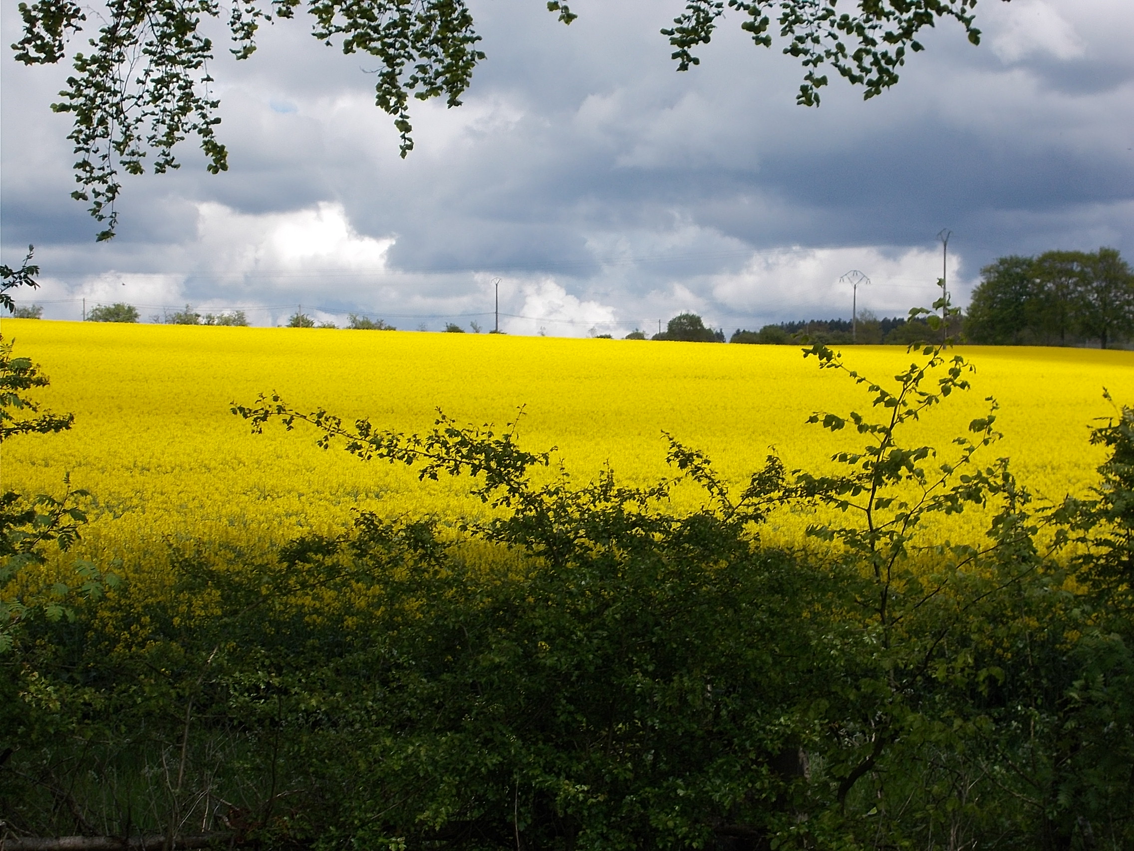 A bit of local handicrafts. 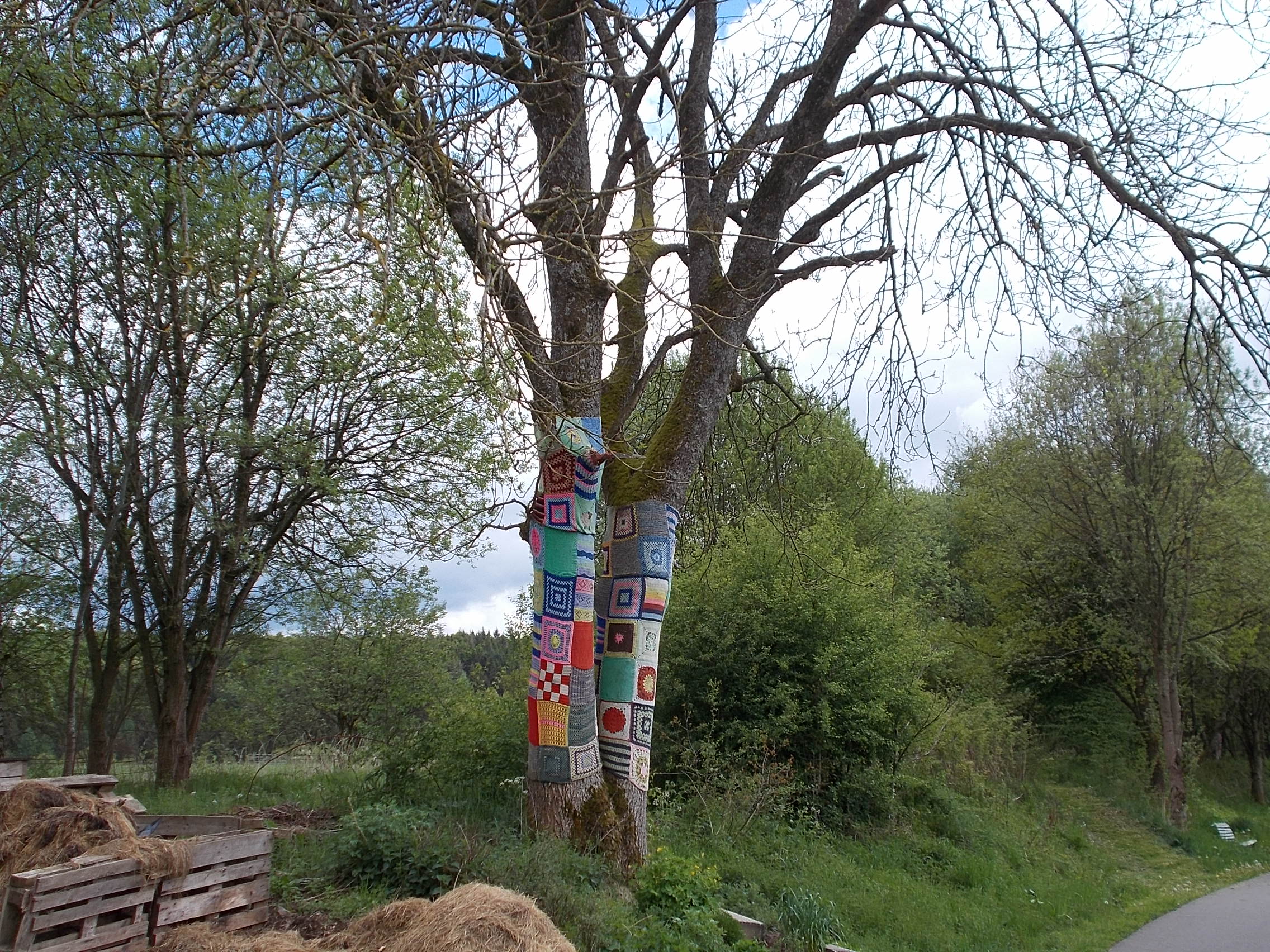 There is something about being watched by a cow standing in the middle of a stream that is hard to describe. 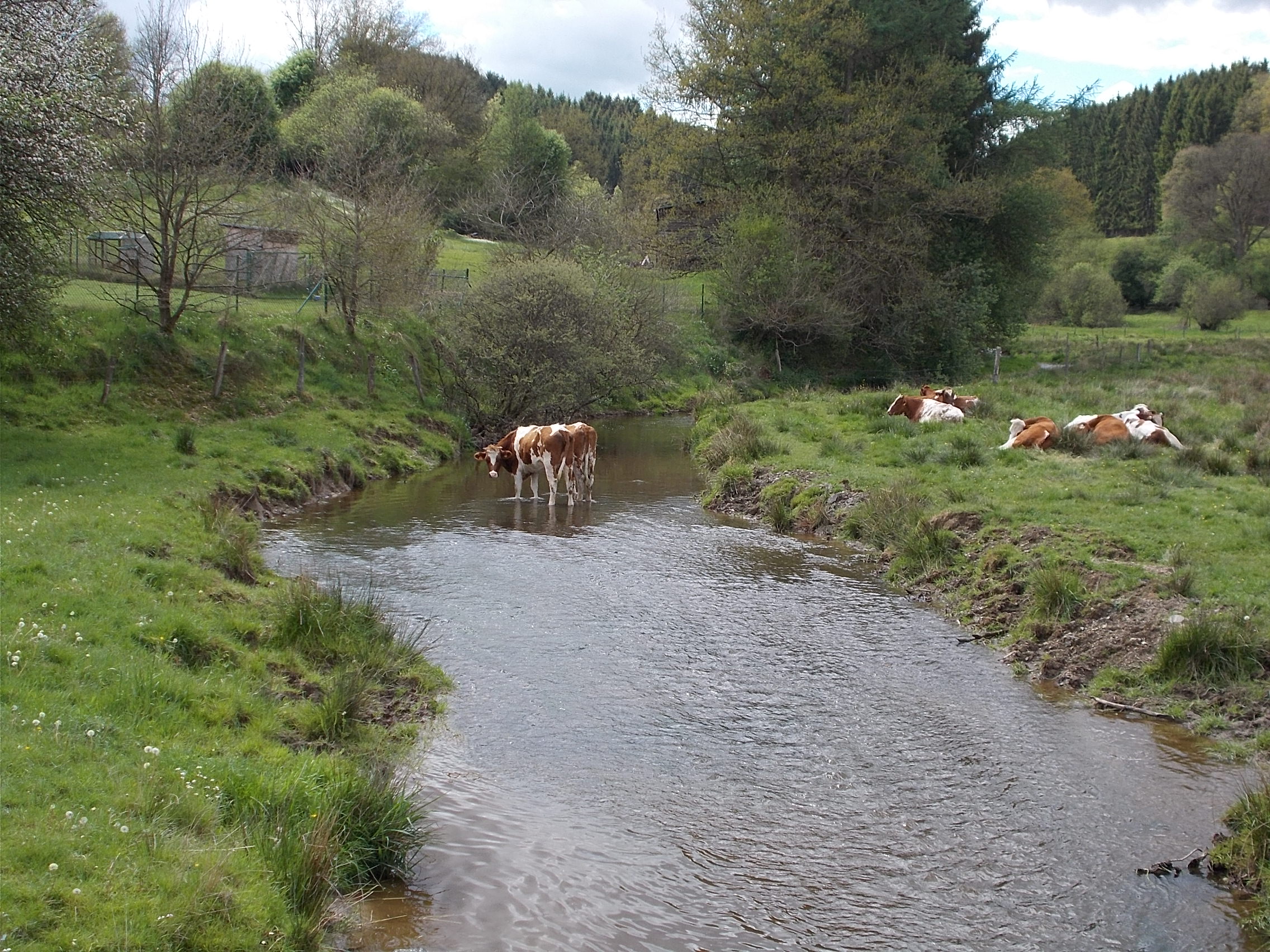 It is inevitable that a rail trail in such hilly terrain will have a tunnel. 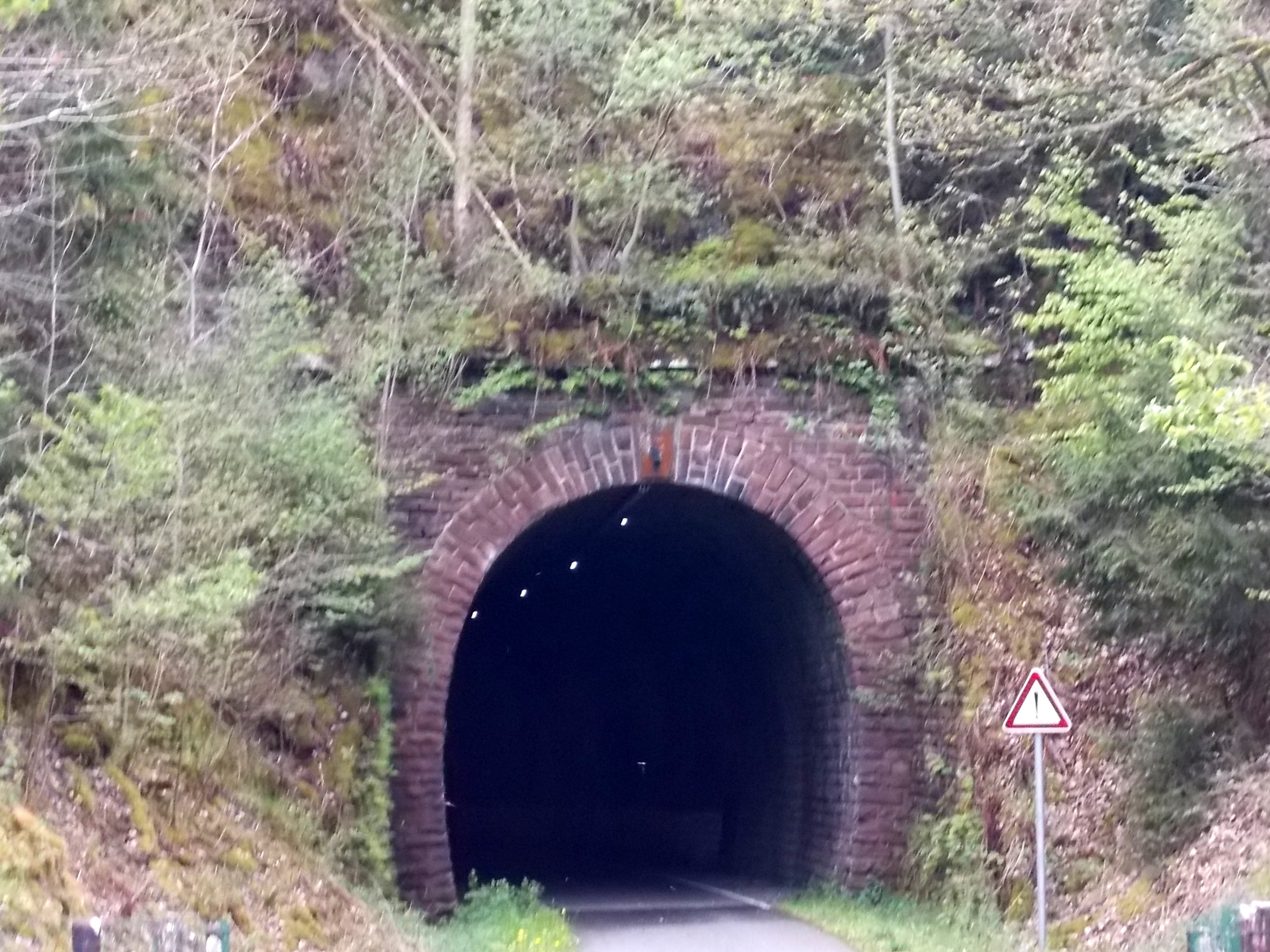 I was constantly amazed at the bucolic scenes I rode by. 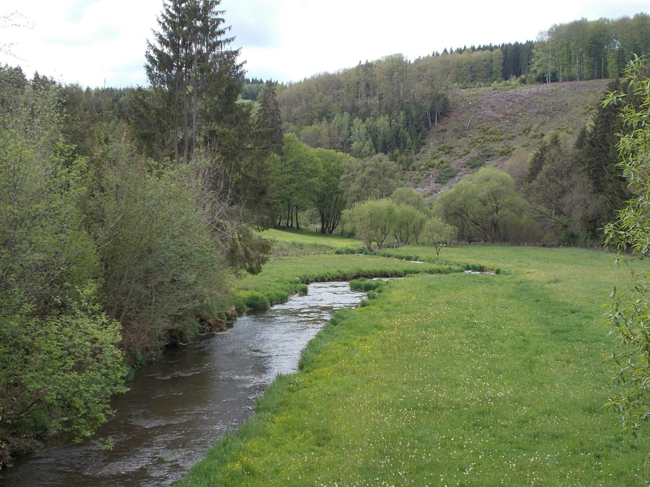 Even the unadorned road bridges added to the view. 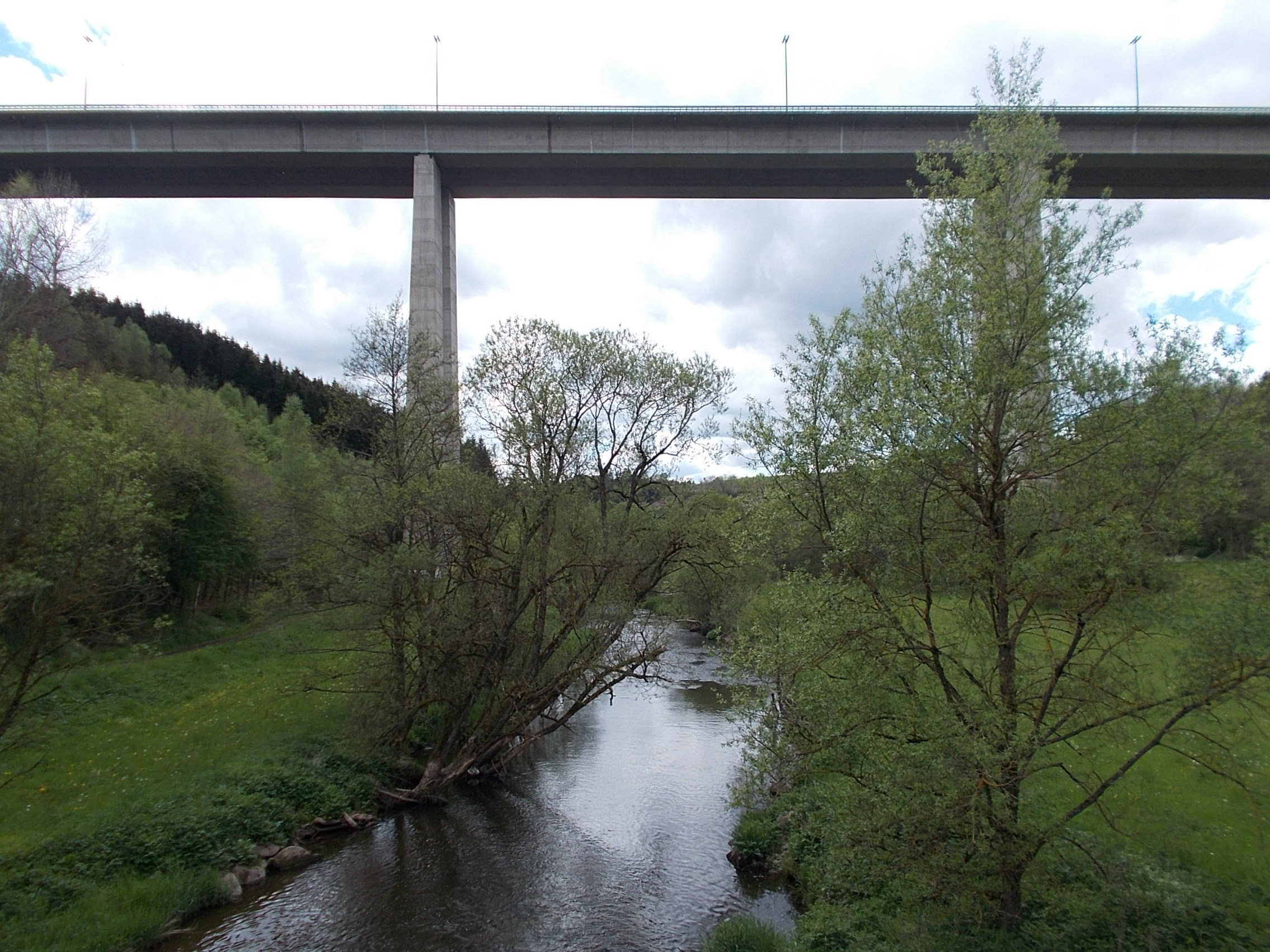 This photo gives a taste of the mosaic of green carpeting the hills. 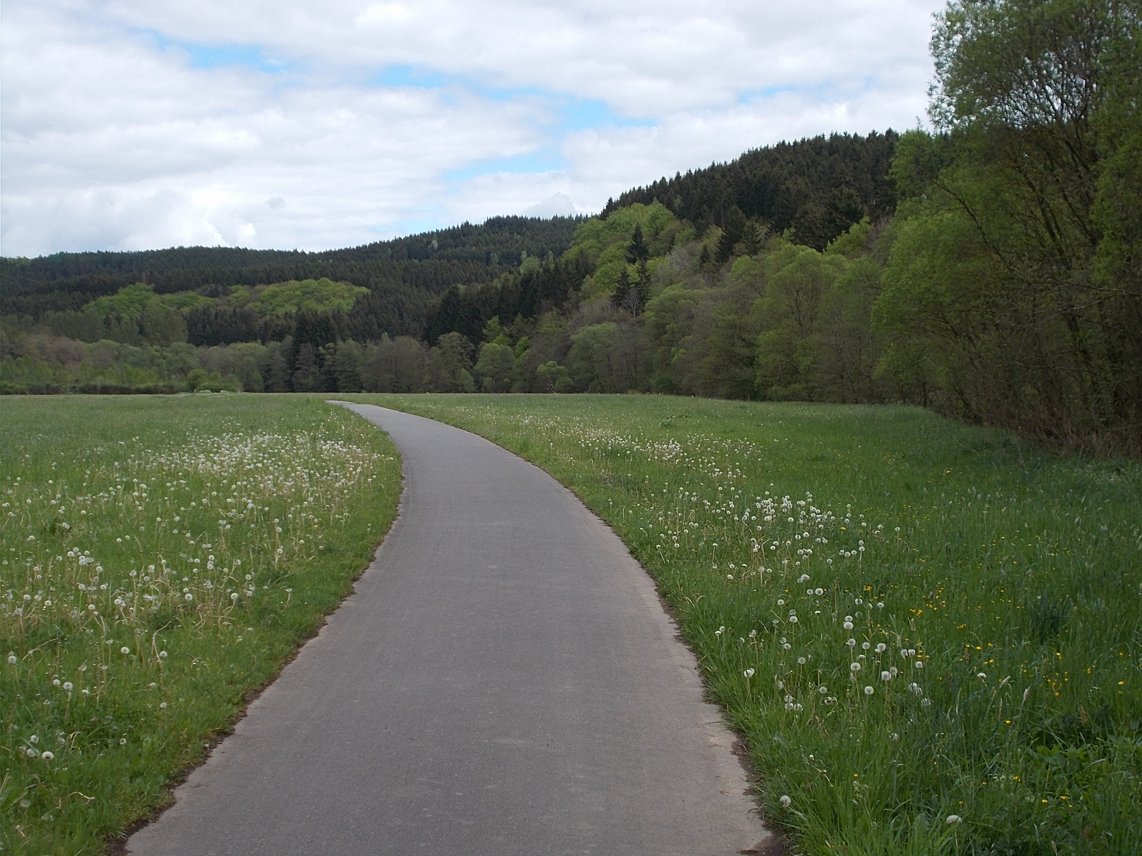 I stopped in St. Vith, a key defensive point during the Battle of the Bulge, to see if there was any WWII information and to use a bathroom. This lead to a French fry and mayonnaise break. I was told there wasn't any WWII stuff in the cute town, so I rode on. Things were going well with pretty scenery and good progress when I made a wrong turn at a confusing intersection just past the village of Steinbrück, where the path splits into two. I went straight instead of making a poorly marked 300 degree turn. I felt something was wrong as the symbols on the sign changed and the kilometer signs went away. I asked 2 guys riding if this was the Vennbahn and when they said yes, I rode with them. They were Germans from Cologne who were on a two day ride to Prüm. We rode together for about 5 miles until we reached a town and one of them said, oh you are on the wrong path. I turned around and rode the 5 or so miles back the other way and asked a rider where the path was. He explained that the turn was often missed and told me how to return to it. I eventually found it and got back on the correctly marked trail. After that, the route turned to dirt and I crossed a bridge over an impossibly pretty stream. 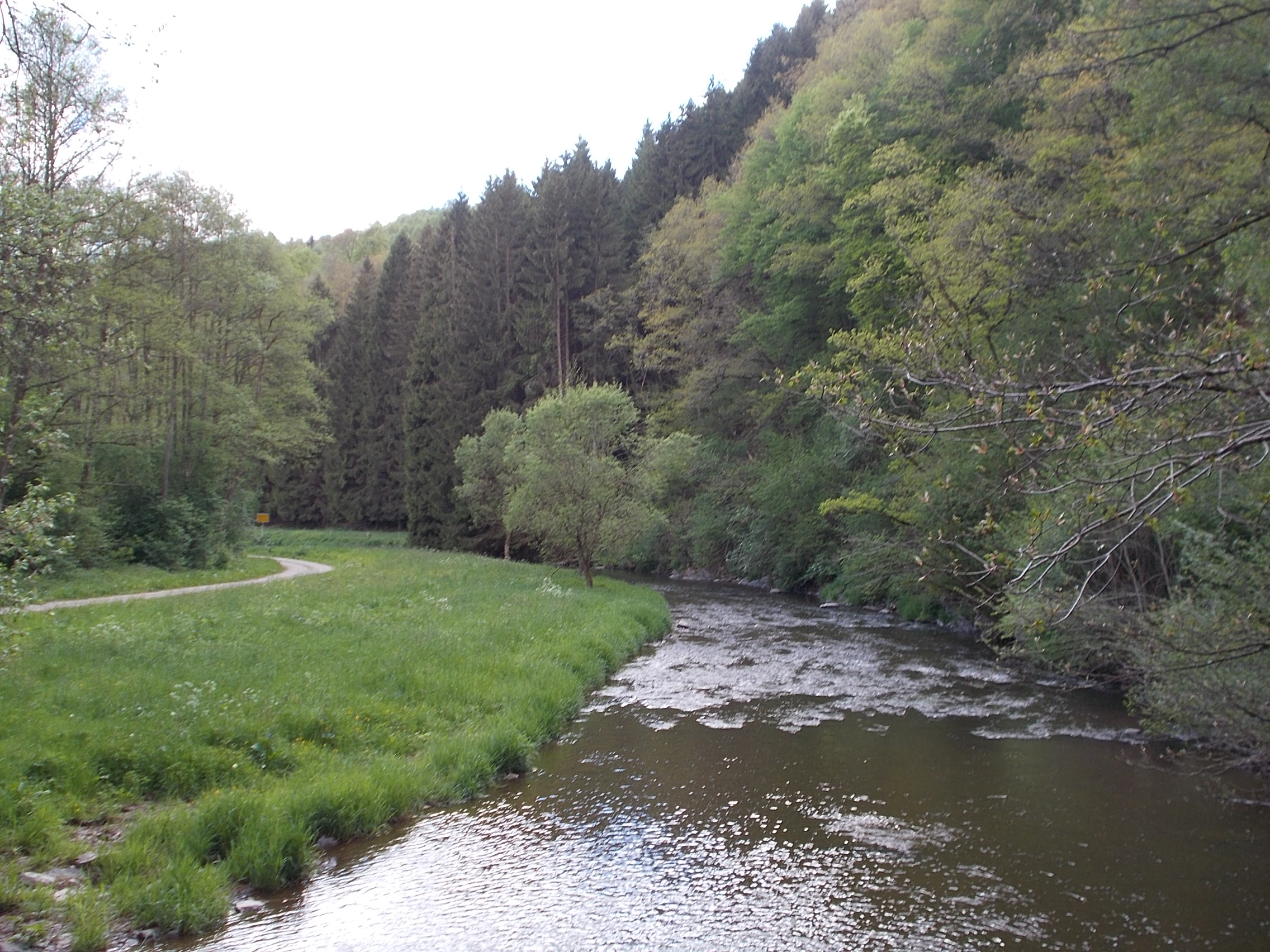 Note the path is on the left of the stream. Eventually, the path became car tracks through trees. 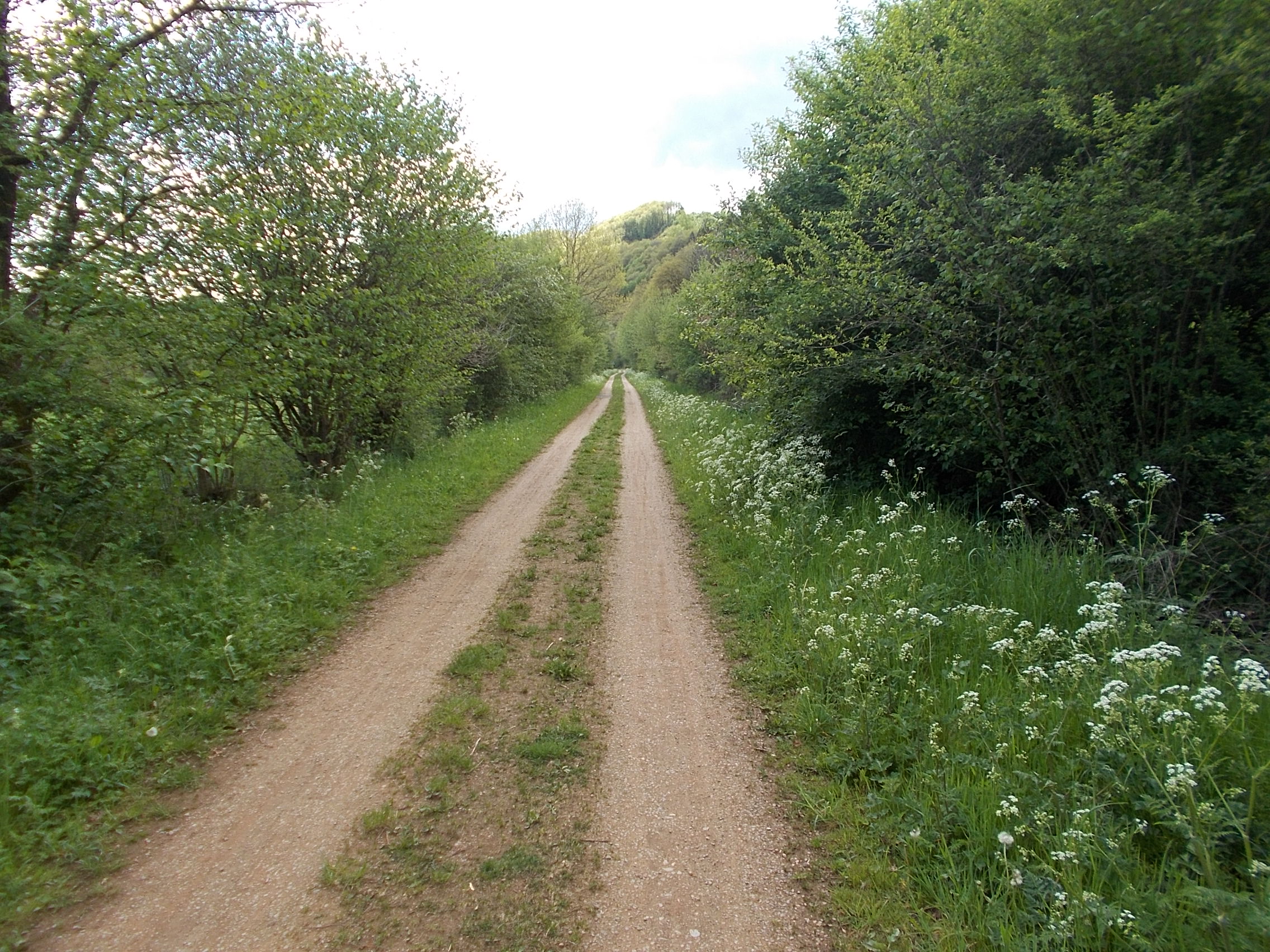 About 10 kilometers from the end, a tunnel used by the path was blocked. I had to backtrack a bit and grind over the hill instead of through the closed tunnel. Eventually, I got the the end of the trail at the Troisvierges train station. I was now following a route I'd created at home using my phone to navigate. At first, I was riding on a narrow road through pretty forest. 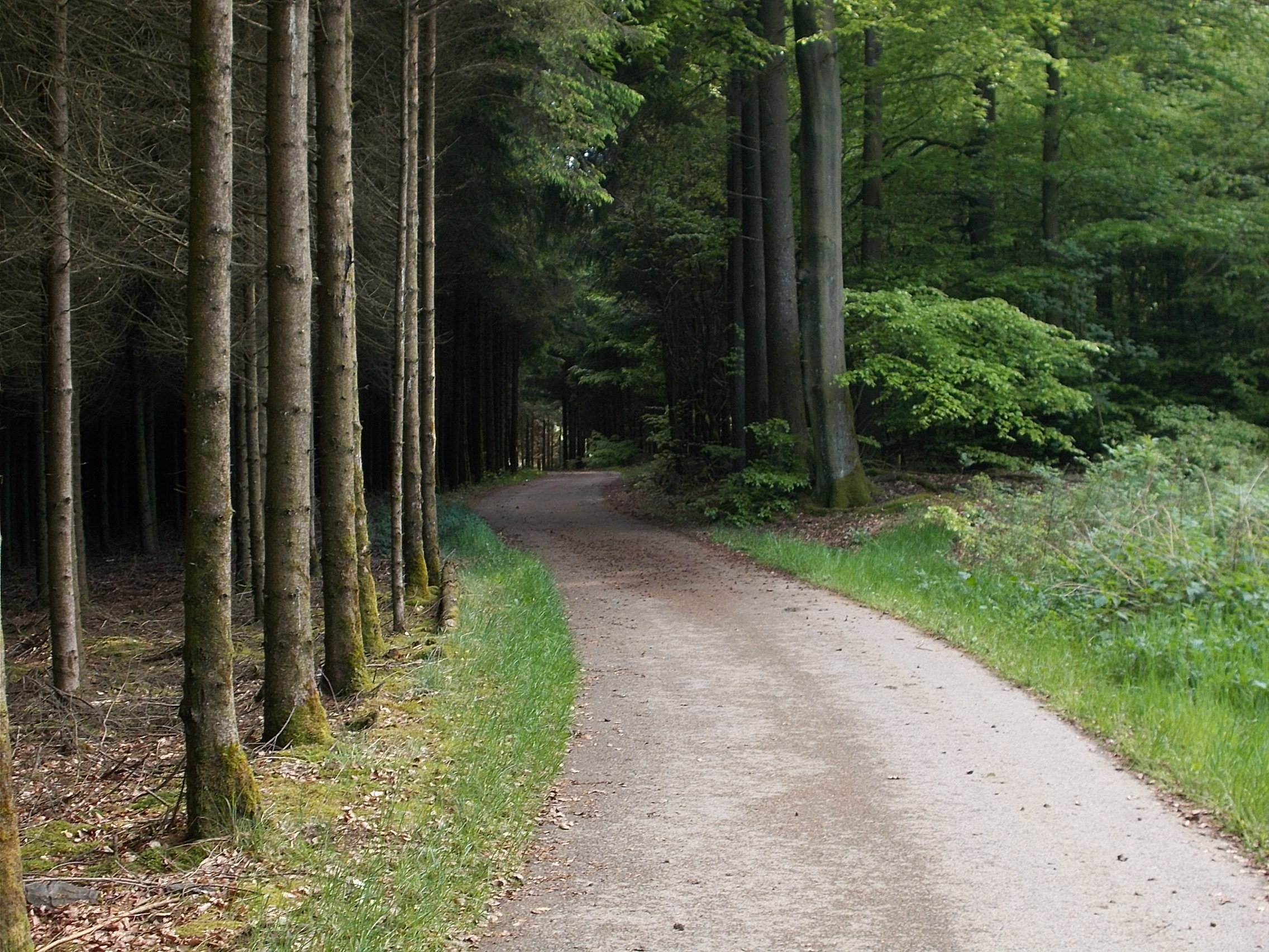 Once the tarmac ended, I was sent on a barely visible rut 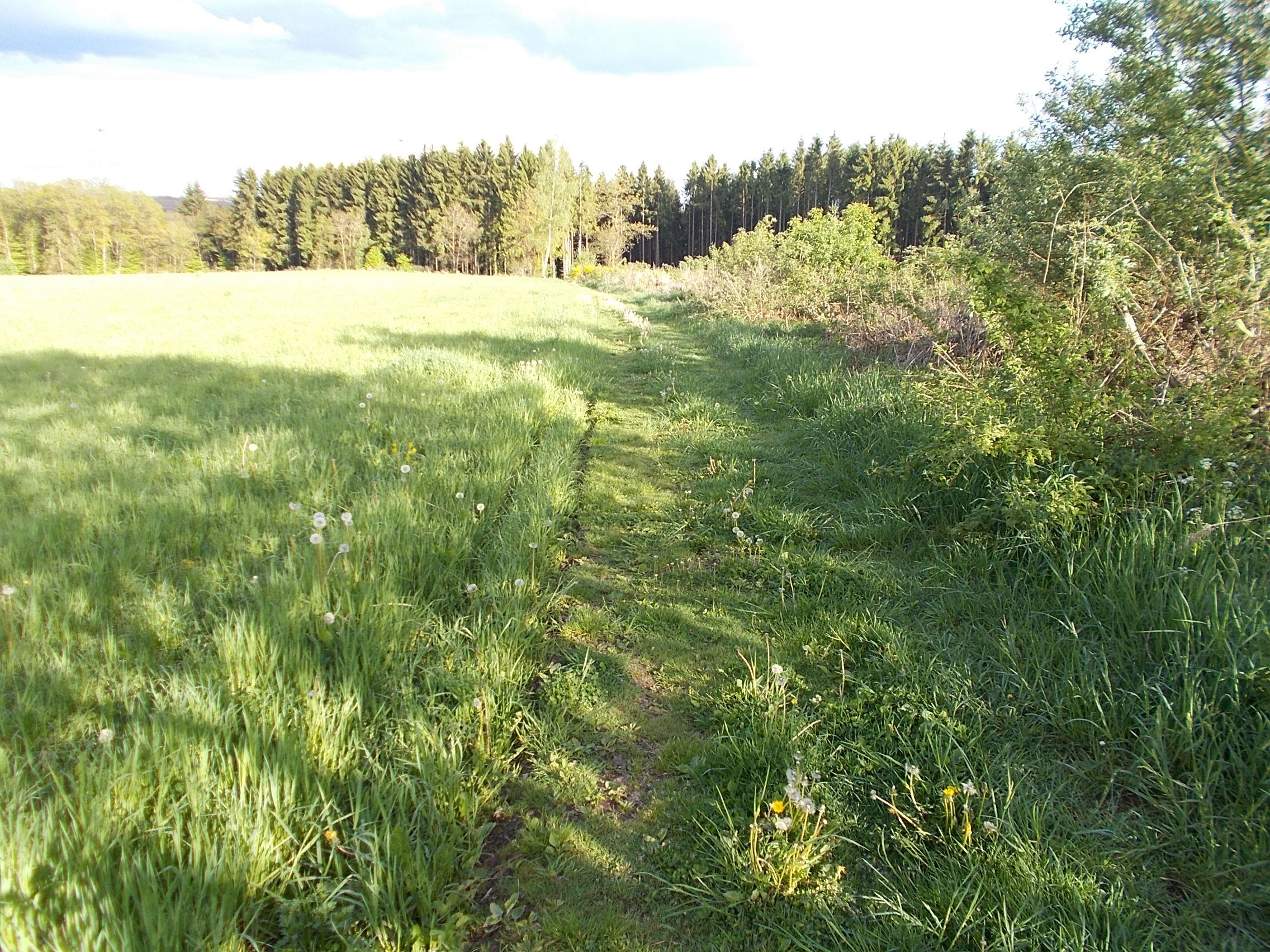 onto steep single track through a forest. 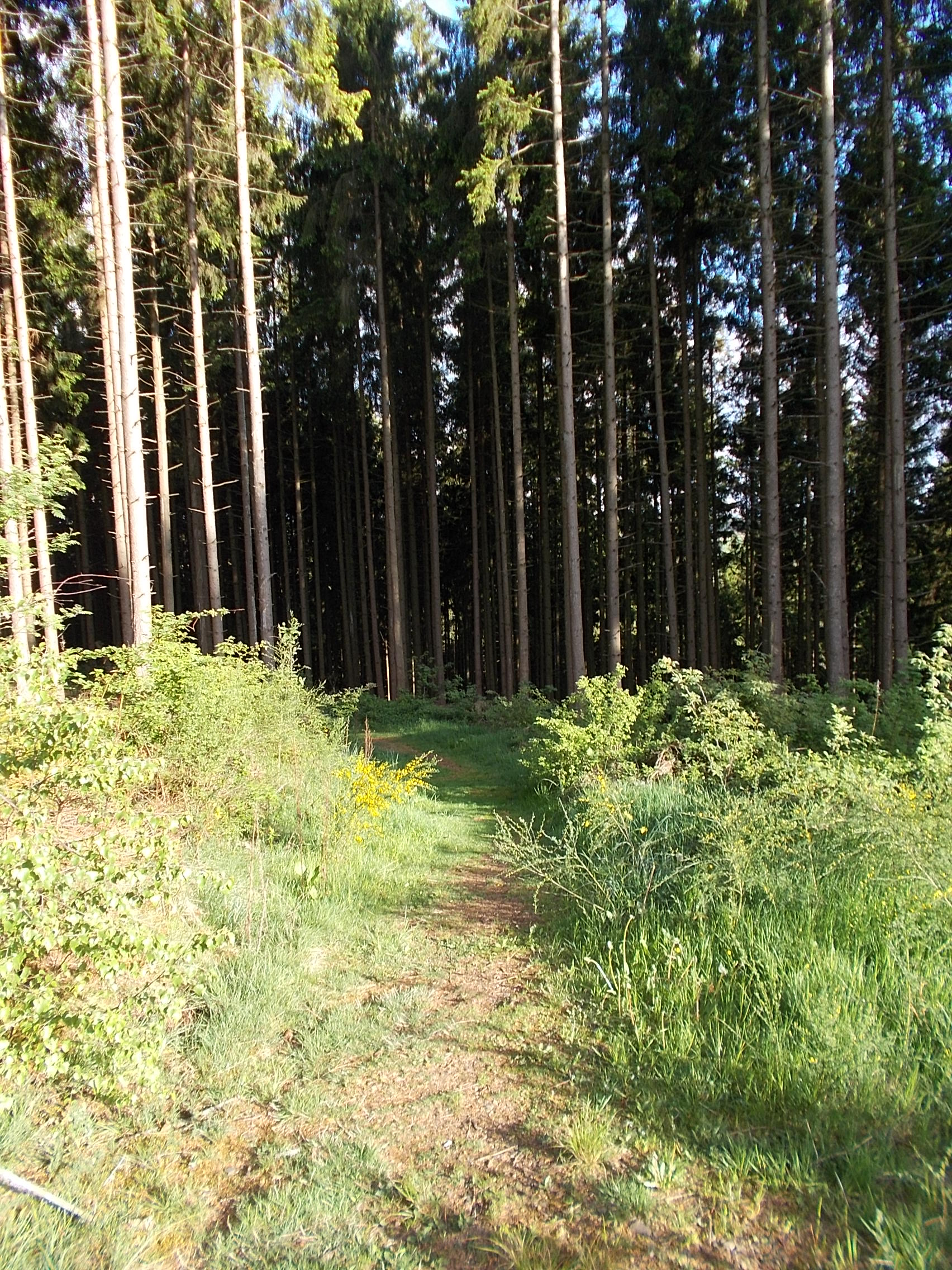 This "route" was little more than a narrow trail weaving around trees. I had to slowly make my way down holding both brakes and releasing them a bit to move forward. I was afraid I'd lose control of the bike and go tumbling down the embankment. I eventually got to a road at the bottom and had to struggle up a steep incline, which required my first bike pushing of the trip to crest. At the top I got this "worth it" view. 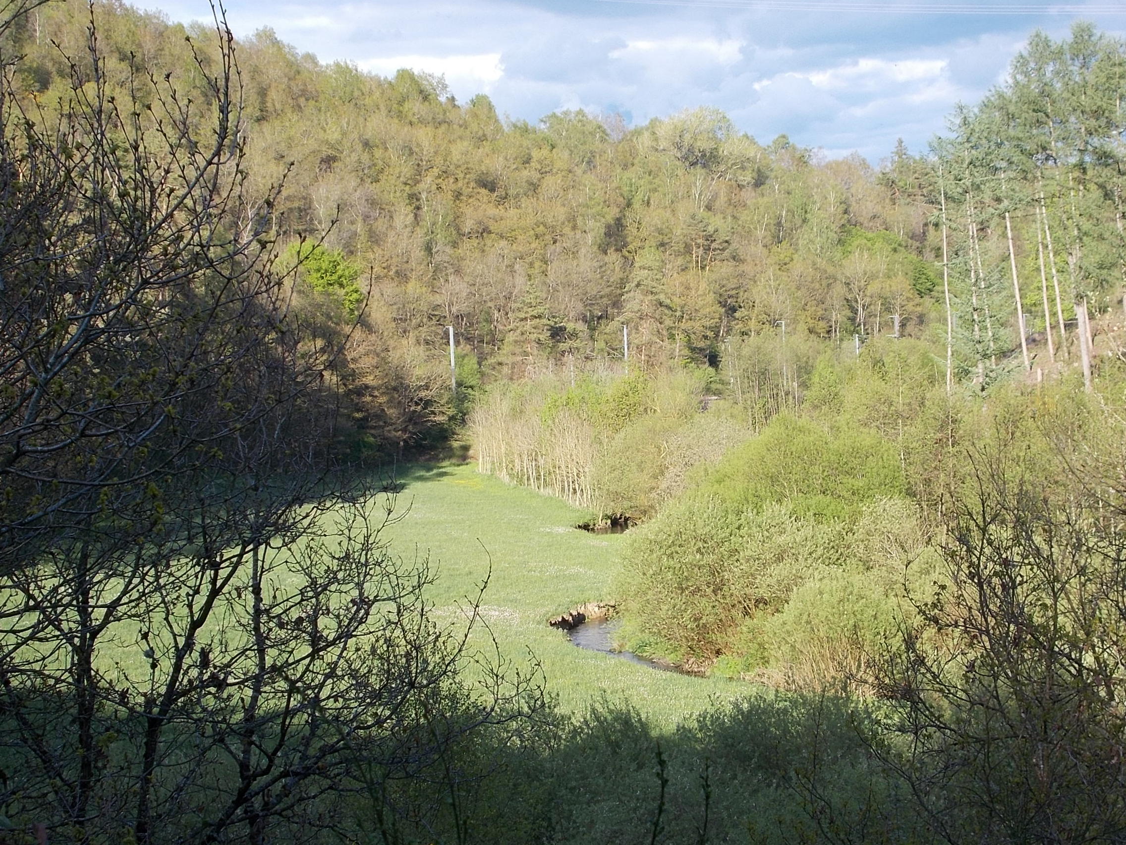 I decided to ignore the rest of my mapped route and simply follow the signed road to Clervaux, my stop for the night. Along the way, I got this hard to resist vista. 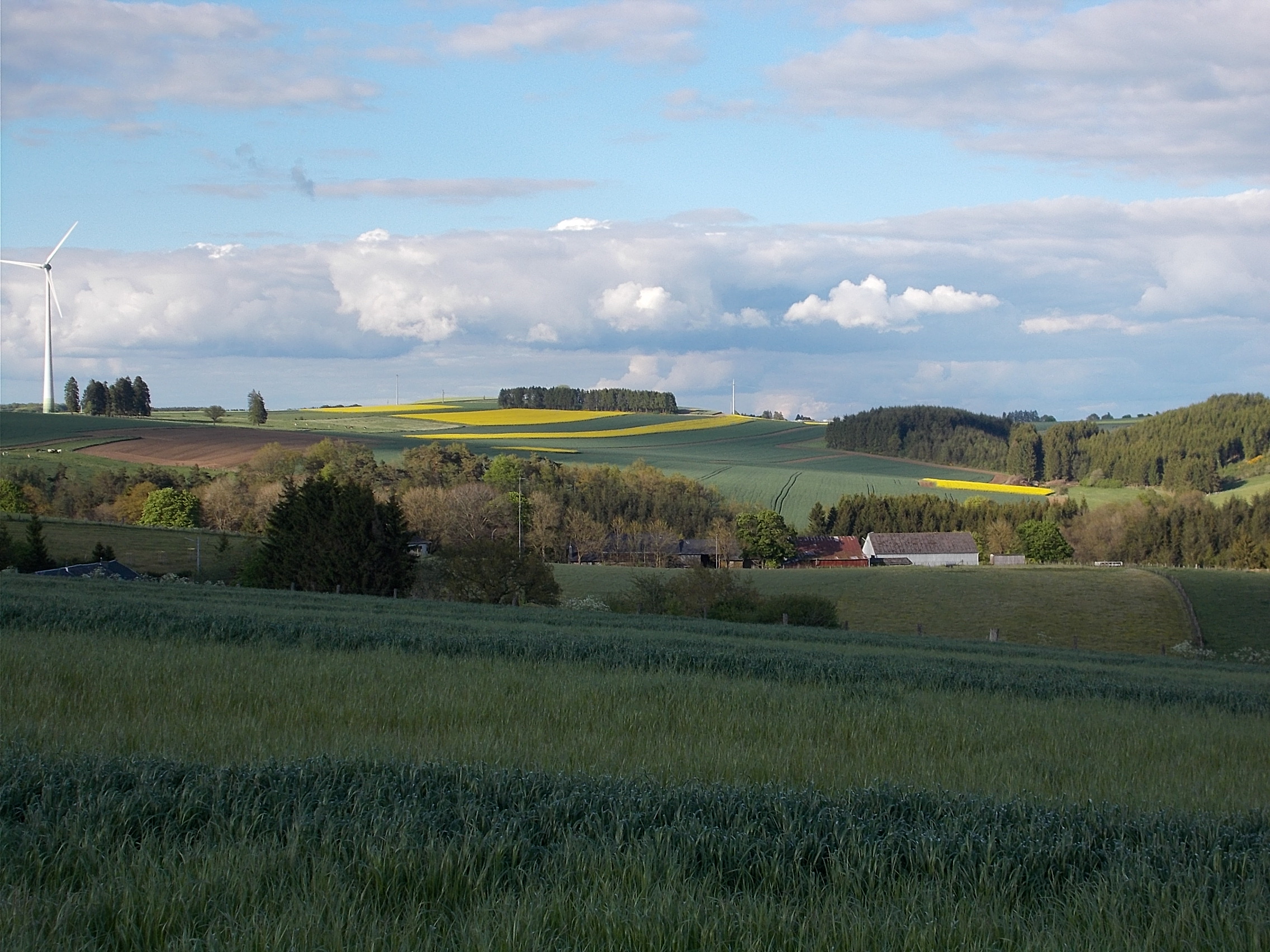 Fortunately, the last couple miles were downhill. Clervaux is a medieval looking town that is build around a bend in the Clerve River. Here is typical view of the heights above Clervaux. 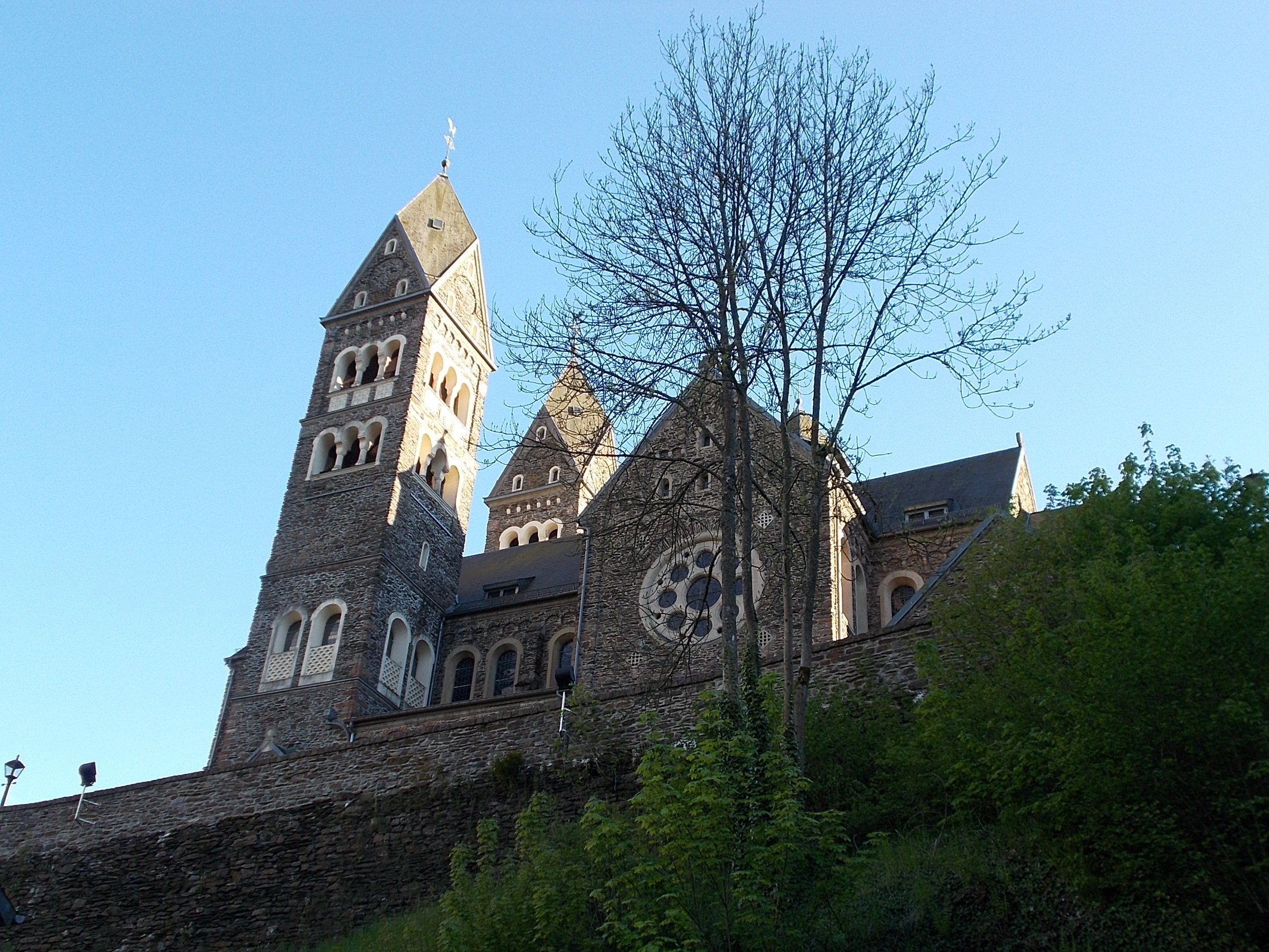 I arrived at 7:45pm which was late for me, mostly due to the hour-long wrong turn. After cleaning up, I walked through the attractive pedestrian mall 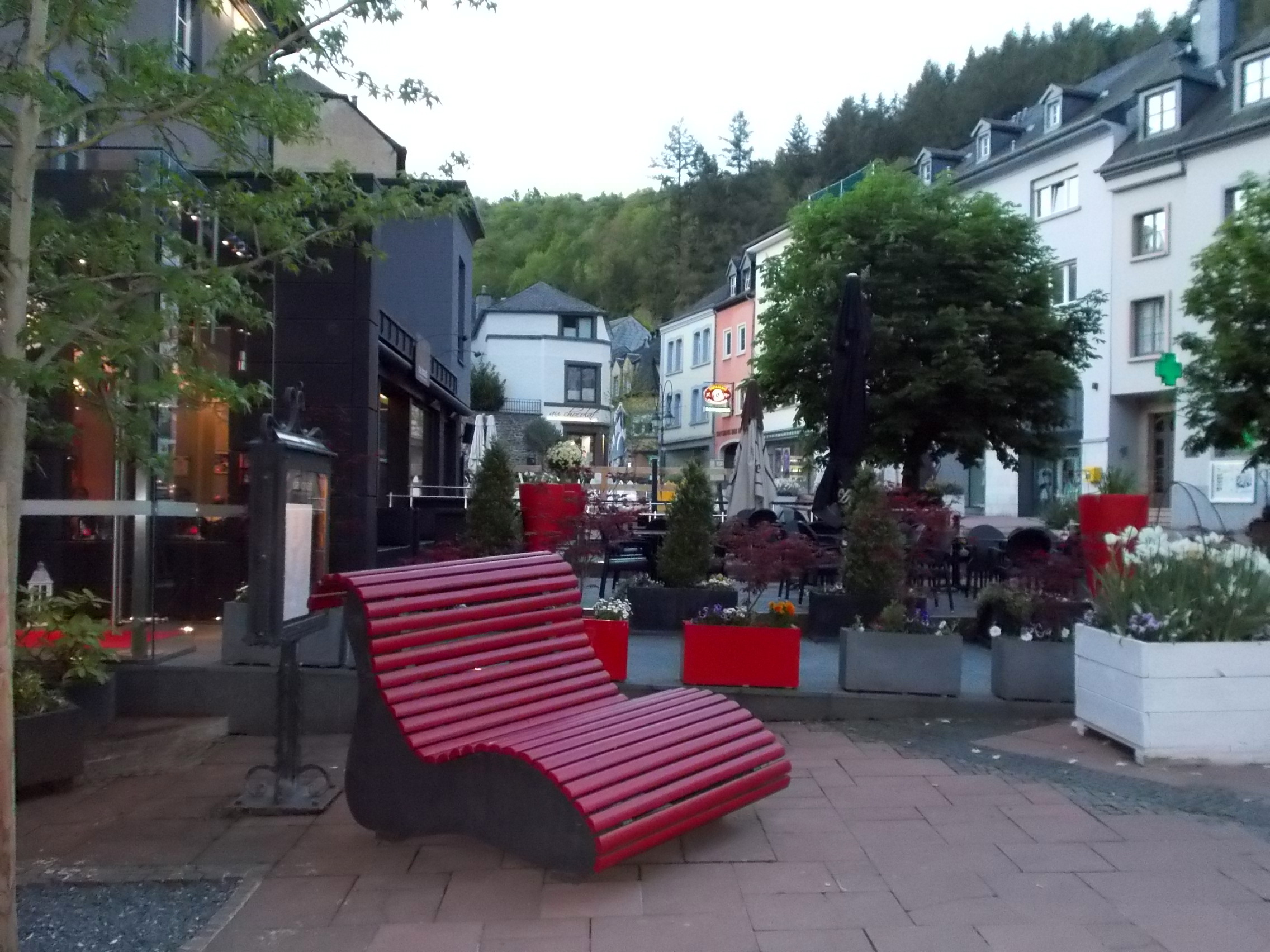 to a pizza place and had some cream of mushroom soup, a liter of carbonated water, and a large pizza, which I couldn't finish. This surprised me as I hadn't eaten all that much during the day. I came back, talked with my wife, and went to bed still uncertain about my destination tomorrow as I haven't heard from the Warmshowers host that Guillaume (my no longer available host in Luxembourg City) suggested I contact. |
||||
|
|
||||